Holsloot
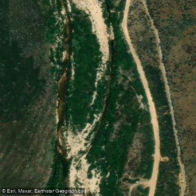
Holsloot
- Boat Ramps
- 0
- Access Points
- 0
- Campsites
- 1
The Holsloot is a river located in the Breede Valley region of the Western Cape, South Africa. Access to the river is primarily via a service road that leads to the Stettynskloof Dam, and this road runs through private property, requiring a code for an electronic gate. This indicates that paddlers must secure proper permission or access rights before attempting to use the river. The surrounding area features the Holsloot River Trail, an 8.2-mile out-and-back path suitable for hiking and camping, suggesting the river corridor is used for outdoor recreation but is not necessarily developed for paddling. The river's character is closely associated with fly fishing, as it is considered one of the Cape streams, and detailed fishing maps and access points are a primary focus of available information. The presence of the Stettynskloof Dam implies a regulated flow and a potential put-in or take-out point, though specific details on paddling routes, rapids, or portages are not provided. The terrain is likely mountainous or kloof-like, given the trail's description and the dam's name, which hints at a scenic, valley setting. There are no mentioned facilities, amenities, or specific regulations for paddlers, and the requirement for access codes on private land is a critical consideration for trip planning. Information on water temperature, seasonal flow patterns, water quality, hazards, and recommended paddling trips is not available from the provided sources.
Water access, boat ramps & amenities
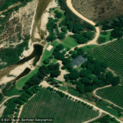
Learn how to get on Holsloot. Uncover great paddling access points, boat ramps, and all the facilities you need for an unforgettable day on the water. Some locations shown may border or include private property. Always check property boundaries and applicable regulations before visiting. PaddleWays's Public & Private Land layer can help you plan your access with confidence.
Paddle smarter with real-time insights
Whether you're en route and conditions shift or you're looking for the best spot based on current flows, we enable you to make informed decisions on the fly.







Western Cape licenses and regulations

Find Places to Paddle

Over 400,000 Places to Paddle
Every user gets free access to launch points, boat ramps, and public property parcels.


Water and weather conditions (10 day forecast)
See the best times to paddle Holsloot and check the forecast before you go.
Holsloot River @ Haweqwas State For.
Paddling near Holsloot
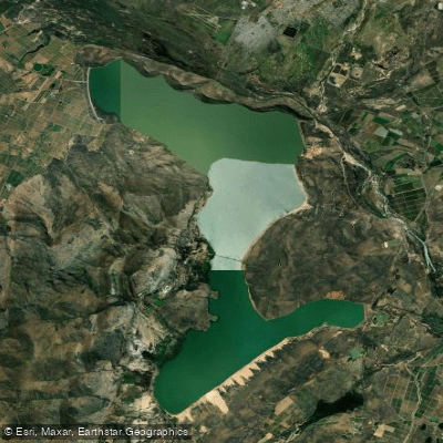
Brandvlei Dam
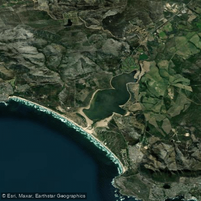
Bot/Kleinmond
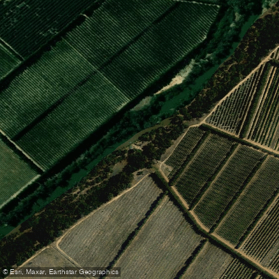
Berg
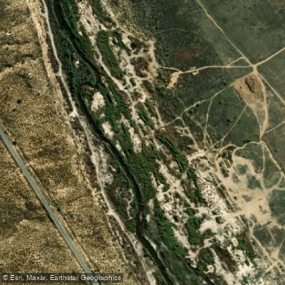
Olifants
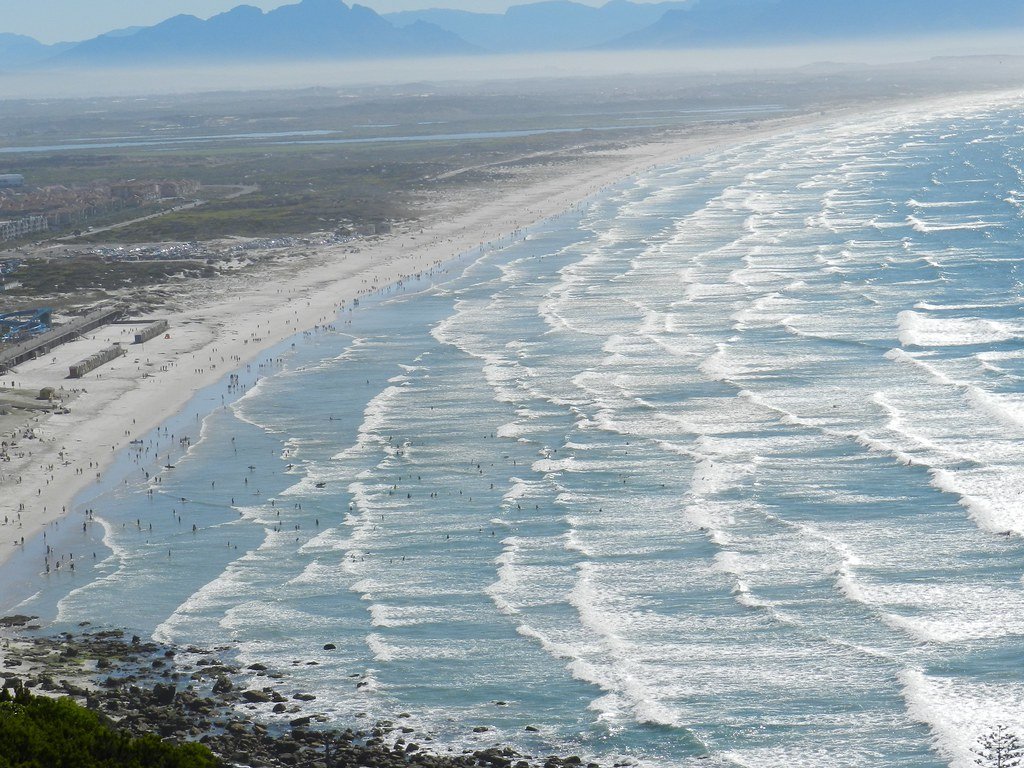
False Bay
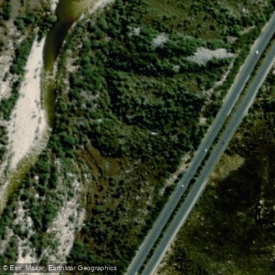
Molenaars
Palmiet
Lourens
Touws
Explore Western Cape waters
Top paddling waters
No waters available right now.
Popular Cities
Loading popular cities...
Explore near Holsloot
Access points
More in Western Cape

Smarter Paddling Starts in the App.
Paddleways gives you everything you need to plan smarter, paddle better, and own every trip from first launch to takeout.