Swartvlei
- Saltwater
- Estuary
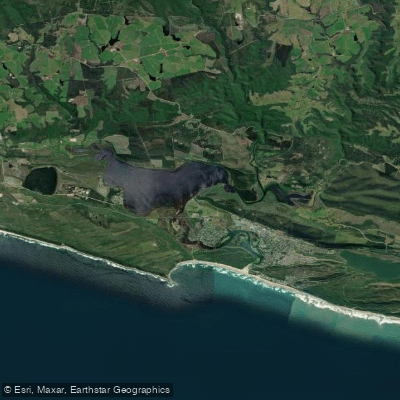
Swartvlei
- Saltwater
- Estuary
- Sq. miles
- 8.4
- Boat Ramps
- 0
- Access Points
- 0
- Campsites
- 1
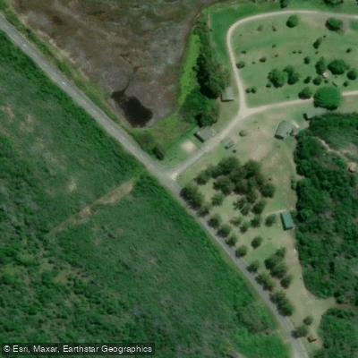
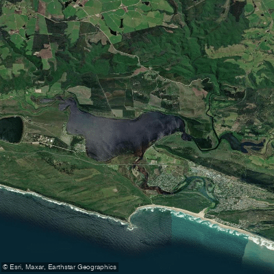
Swartvlei is a large, deep coastal lake and estuary located near Sedgefield on South Africa's Garden Route, separated from the Indian Ocean by a narrow strip of dunes. It is part of a continuous water plateau of lakes within the Wilderness National Park. The lake itself is substantial, reaching depths of up to 16 meters, and is connected to the sea via an estuary channel. Paddling here requires a SANParks permit, which can be obtained from offices in Knysna or Wilderness, with annual or monthly options available. Key public launch points for canoes, kayaks, and SUPs include the boat launch at the bottom of Kingfisher Drive, Sedgefield Ski-Beach, and the Sedgefield Island Conservancy near Fish Eagle Green. Pine Lake Marina is another launch option and a place where kayaks and SUPs can be rented. It is critical to note that wind is a major hazard on the open lake, as conditions can change rapidly from calm to a "howling gale," creating choppy water and making return difficult; a personal flotation device is strongly recommended for all paddlers. At low tide, water levels at Sedgefield Ski-Beach and the Island Conservancy can be quite low, potentially requiring a longer carry for kayaks and making boat launching impossible. The estuary mouth forms a safe bathing area. The area is rich in birdlife, with a variety of marine, estuarine, and forest bird species observable along the shores and channels. Facilities at launch points vary, with ablution blocks present at Kingfisher Drive and sometimes at Sedgefield Ski-Beach, though they may be locked outside of peak hours. The Sedgefield Island Conservancy has a picnic site with temporary ablutions.
Water access, boat ramps & amenities
Learn how to get on Swartvlei. Uncover great paddling access points, boat ramps, and all the facilities you need for an unforgettable day on the water. Some locations shown may border or include private property. Always check property boundaries and applicable regulations before visiting. PaddleWays's Public & Private Land layer can help you plan your access with confidence.
Paddle smarter with real-time insights
Whether you're en route and conditions shift or you're looking for the best spot based on current flows, we enable you to make informed decisions on the fly.







Western Cape licenses and regulations

Find Places to Paddle

Over 400,000 Places to Paddle
Every user gets free access to launch points, boat ramps, and public property parcels.


Tides, wind & water conditions (10 day forecast)
On open water, wind and tide matter as much as the weather. See the best times to paddle Swartvlei and check the marine forecast before you launch.
Loading tide predictions…
Paddling near Swartvlei
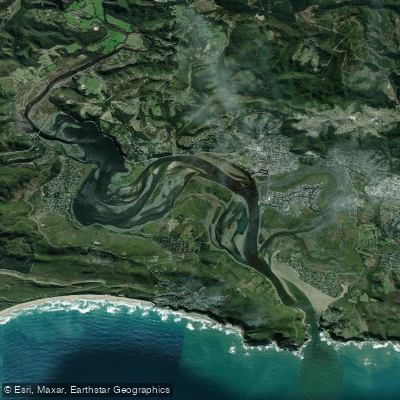
Knysna Lagoon
Knysna
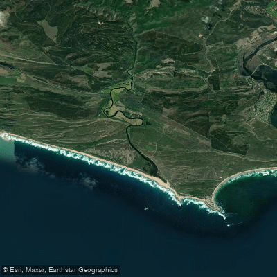
Goukamma
Bietou
Keurbooms
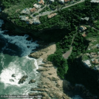
Knysna Beach
Karatara
Swartvlei
Touw/Wilderness
Touws
Explore Western Cape waters
Top paddling waters
No waters available right now.
Popular Cities
Loading popular cities...
Explore near Swartvlei
Access points
Nearby waters
More in Western Cape

Smarter Paddling Starts in the App.
Paddleways gives you everything you need to plan smarter, paddle better, and own every trip from first launch to takeout.