Arroyo Vivoratá
Arroyo Vivoratá
- Boat Ramps
- 0
- Access Points
- 0
- Campsites
- 1
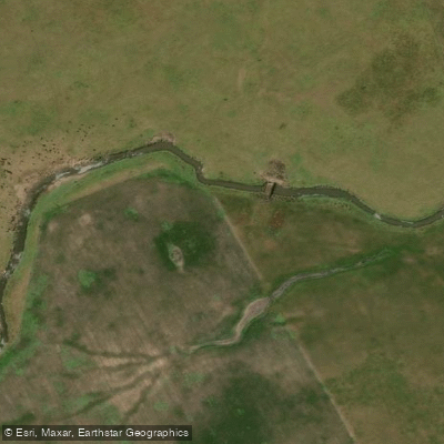
Arroyo Vivoratá is a tidal stream located near Laguna Mar Chiquita in the Buenos Aires province, flowing into that coastal lagoon. The waterway is notably shallow — shallow enough that paddlers in kayaks are visible moving through water that barely covers the bottom in places — and water levels fluctuate meaningfully with the tides. At low tide, sections of the banks and surrounding flats are exposed; at high tide, these same areas are submerged. Paddlers should plan their outings with tidal cycles in mind, as low water can make navigation difficult in shallower stretches.
Access to the arroyo involves leaving a vehicle near the road that enters from Mar Chiquita and walking approximately 200 meters along a worn path to reach the water. There is a gate along this route that has been observed standing open. The surrounding terrain is low and marshy, and rubber boots are useful for moving along the banks.
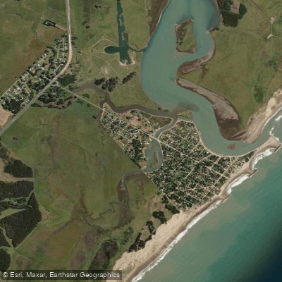
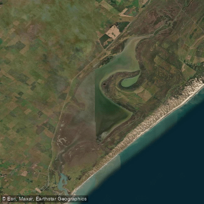
The character of the waterway is relaxed and oriented toward recreation rather than demanding paddling. The banks support populations of crabs and mullet (lisa), and pejerrey are also present. A large campsite with rental RVs is situated on the opposite bank, indicating that the area sees regular visitor activity. The stream connects to the broader Laguna Mar Chiquita system, which offers additional water for those wishing to extend a paddle beyond the arroyo itself.
Wildlife along the margins includes abundant crabs and various fish species. The overall environment is a low-lying coastal wetland typical of the Buenos Aires littoral zone, with tidal flats and grassy banks.
Water access, boat ramps & amenities
Learn how to get on Arroyo Vivoratá. Uncover great paddling access points, boat ramps, and all the facilities you need for an unforgettable day on the water. Some locations shown may border or include private property. Always check property boundaries and applicable regulations before visiting. PaddleWays's Public & Private Land layer can help you plan your access with confidence.
Paddle smarter with real-time insights
Whether you're en route and conditions shift or you're looking for the best spot based on current flows, we enable you to make informed decisions on the fly.







Buenos Aires licenses and regulations

Find Places to Paddle

Over 400,000 Places to Paddle
Every user gets free access to launch points, boat ramps, and public property parcels.


Water and weather conditions (10 day forecast)
See the best times to paddle Arroyo Vivoratá and check the forecast before you go.
No forecast data available.
Paddling near Arroyo Vivoratá
Laguna Mar Chiquita
Playa La Perla
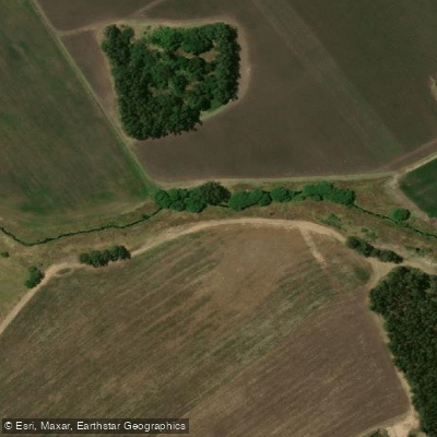
Arroyo El Durazno
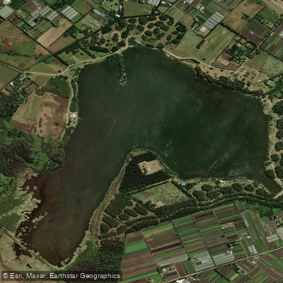
Laguna de los Padres
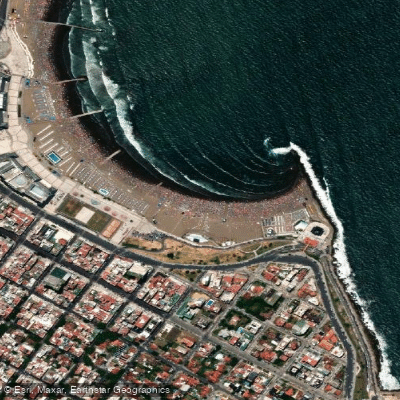
Playa Las Toscas
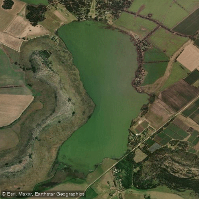
Laguna La Brava
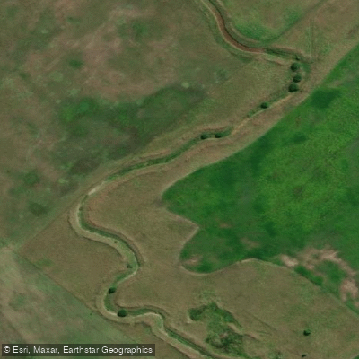
Arroyo del Pescado
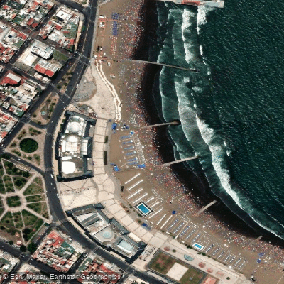
Playa Bristol
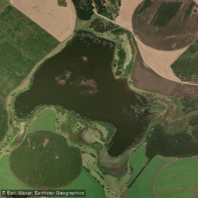
Laguna La Invernada
Explore Buenos Aires waters
Top paddling waters
No waters available right now.
Popular Cities
Loading popular cities...
Explore near Arroyo Vivoratá

Smarter Paddling Starts in the App.
Paddleways gives you everything you need to plan smarter, paddle better, and own every trip from first launch to takeout.