Laguna Mar Chiquita
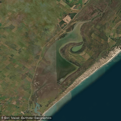
Laguna Mar Chiquita
- Boat Ramps
- 0
- Access Points
- 0
- Campsites
- 0
Mar Chiquita is a coastal lagoon located in the southeastern portion of Buenos Aires Province, Argentina, at approximately 37°44′45″S 57°25′39″W. It covers an area of 560.3 square kilometres, making it a substantial body of water with considerable variation in character from one end to the other. The lagoon transitions from conditions resembling open coastal sea near its mouth to freshwater-influenced conditions toward its headlands, giving it an estuarine character throughout much of its extent.
Water depths are notably shallow across most of the lagoon, with a mean depth of less than one metre. The estuarine region typically reaches 1.5 to 2 metres, while the discharge channel at the mouth reaches approximately 3 metres. These shallow conditions are an important consideration for paddlers, as they affect navigation and exposure to wind-driven chop across the broad, open surface.
The lagoon was designated a UNESCO Biosphere Reserve in 1995 and a wildlife refuge by the Argentine government in 1998, reflecting its significant conservation value as a unique estuarine ecosystem. The area supports a variety of animal species, including black drum, which is particularly abundant near the mouth during autumn, spring, and summer. Argentinian silverside and trahira are also present in the broader area.
Motorized boat traffic is present on the lagoon. Vessels operating inside are mostly small craft under 4 metres with outboard engines of around 10 HP, while larger boats of approximately 6 metres with 60 HP engines operate in the inlet area near the mouth. Paddlers should be aware of this motorized traffic, particularly in the deeper central and mouth areas where boat activity is concentrated. A small resort community is located on the southern side of the lagoon.
Water access, boat ramps & amenities
Learn how to get on Laguna Mar Chiquita. Uncover great paddling access points, boat ramps, and all the facilities you need for an unforgettable day on the water. Some locations shown may border or include private property. Always check property boundaries and applicable regulations before visiting. PaddleWays's Public & Private Land layer can help you plan your access with confidence.
Paddle smarter with real-time insights
Whether you're en route and conditions shift or you're looking for the best spot based on current flows, we enable you to make informed decisions on the fly.







Buenos Aires licenses and regulations

Find Places to Paddle

Over 400,000 Places to Paddle
Every user gets free access to launch points, boat ramps, and public property parcels.


Water and weather conditions (10 day forecast)
See the best times to paddle Laguna Mar Chiquita and check the forecast before you go.
No forecast data available.
Paddling near Laguna Mar Chiquita
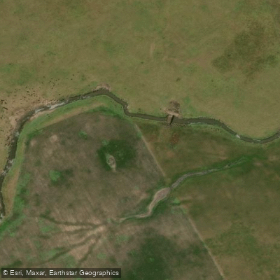
Arroyo Vivoratá
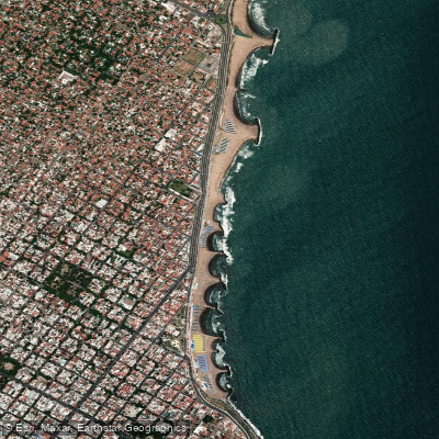
Playa La Perla
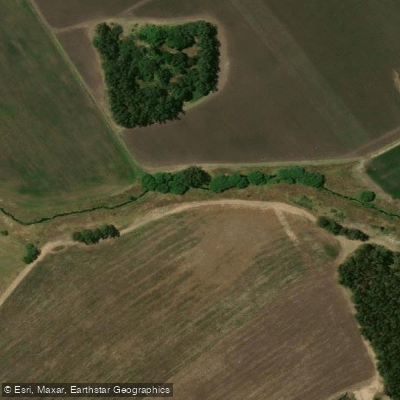
Arroyo El Durazno
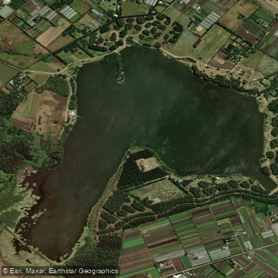
Laguna de los Padres
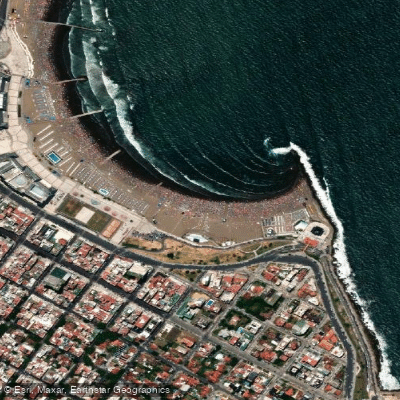
Playa Las Toscas
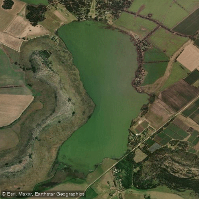
Laguna La Brava
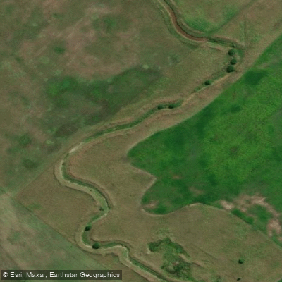
Arroyo del Pescado
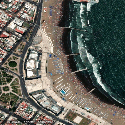
Playa Bristol
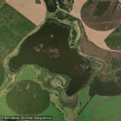
Laguna La Invernada
Explore Buenos Aires waters
Top paddling waters
No waters available right now.
Popular Cities
Loading popular cities...
Explore near Laguna Mar Chiquita

Smarter Paddling Starts in the App.
Paddleways gives you everything you need to plan smarter, paddle better, and own every trip from first launch to takeout.