Laguna La Brava
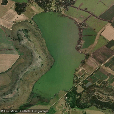
Laguna La Brava
- Boat Ramps
- 0
- Access Points
- 0
- Campsites
- 2
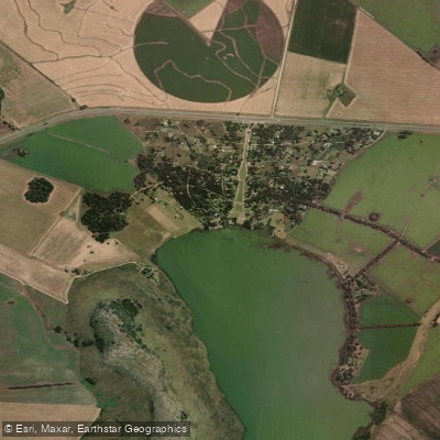
Laguna La Brava is a tectonic lake situated in the eastern part of the Balcarce Partido in Buenos Aires Province, approximately 40 kilometres northwest of Mar del Plata and 25 kilometres east of the town of Balcarce. The lake covers 420 hectares, stretches 3.5 kilometres in length and 1.2 kilometres in width, and reaches depths of 4 to 6 metres. It is classified as a rift or tectonic lake, possibly formed as a natural reservoir by dunes, and sits within the Balcarce mountain range. The water is notably dark green in colour, particularly vivid under summer sun, and the surrounding landscape — hills rising around the lagoon — gives the place a character more reminiscent of Patagonia than the typical Buenos Aires pampa.
Kayaking is actively practiced on the lagoon. Paddling routes range from short 0.4-kilometre outings to longer crossings of roughly 8 to 9 kilometres, including a full circuit of the lake. Recreational kayak courses are offered at Cabañas Del Vuulcan on the lagoon shore, run by instructors certified in Coastal Kayaking Level 3 through the American Canoe Association; no prior experience is required for participants aged 14 and up. The Club de Pesca Balcarce on the north shore and Ruca Lauquen on the east coast both have boat piers and recreational facilities, making them practical launch points. Summer mornings offer the best conditions for clear skies and vibrant water colour, with weekdays attracting fewer visitors.
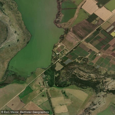
Public access to the water's edge is limited. Much of the shoreline is privately held by resorts and campsites, and the main publicly accessible area is a small esplanade of roughly 50 metres reached via a gravel road off Route 226. Paddlers should identify designated public access points before arriving and be prepared for minimal on-site services; bringing food and water is advisable. The Tajamar stream serves as both the primary inflow and outflow.
Wildlife around the lagoon includes swans, ducks, coots, herons, and gulls, as well as capybaras and otters along the shores. The lake area is privately owned overall but open to the public for fishing and camping, and several campsites with facilities are available for those planning overnight stays.
Water access, boat ramps & amenities
Learn how to get on Laguna La Brava. Uncover great paddling access points, boat ramps, and all the facilities you need for an unforgettable day on the water. Some locations shown may border or include private property. Always check property boundaries and applicable regulations before visiting. PaddleWays's Public & Private Land layer can help you plan your access with confidence.
Paddle smarter with real-time insights
Whether you're en route and conditions shift or you're looking for the best spot based on current flows, we enable you to make informed decisions on the fly.







Buenos Aires licenses and regulations

Find Places to Paddle

Over 400,000 Places to Paddle
Every user gets free access to launch points, boat ramps, and public property parcels.


Water and weather conditions (10 day forecast)
See the best times to paddle Laguna La Brava and check the forecast before you go.
No forecast data available.
Paddling near Laguna La Brava
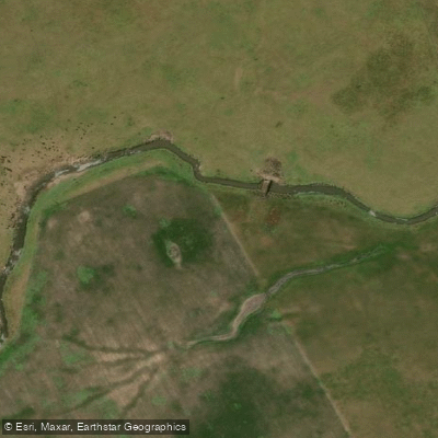
Arroyo Vivoratá
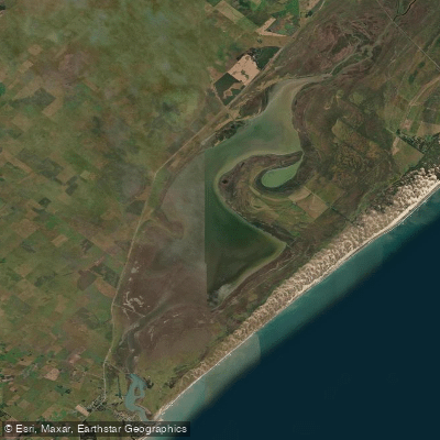
Laguna Mar Chiquita
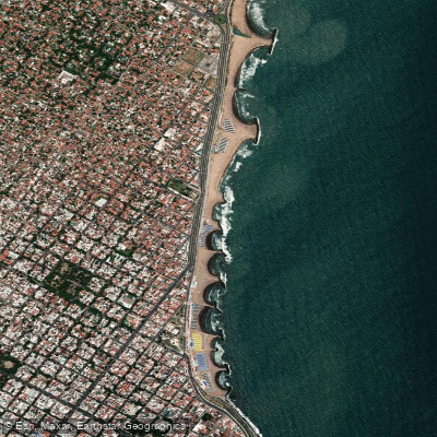
Playa La Perla
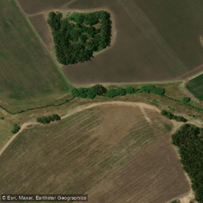
Arroyo El Durazno
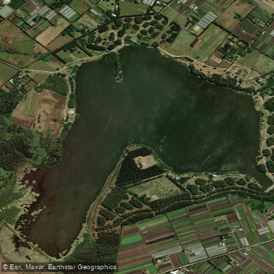
Laguna de los Padres
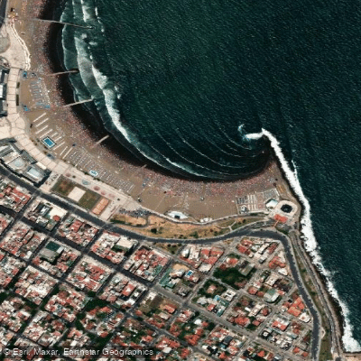
Playa Las Toscas
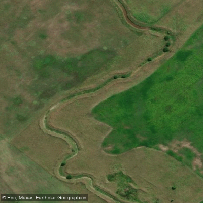
Arroyo del Pescado
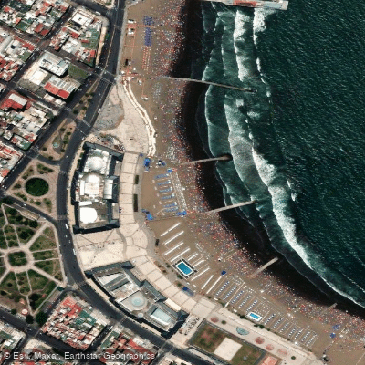
Playa Bristol
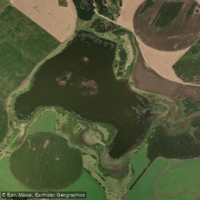
Laguna La Invernada
Explore Buenos Aires waters
Top paddling waters
No waters available right now.
Popular Cities
Loading popular cities...
Explore near Laguna La Brava

Smarter Paddling Starts in the App.
Paddleways gives you everything you need to plan smarter, paddle better, and own every trip from first launch to takeout.