Bahía de San Antonio
- Saltwater
- Bay
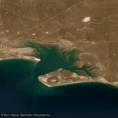
Bahía de San Antonio
- Saltwater
- Bay
- Sq. miles
- 41
- Boat Ramps
- 0
- Access Points
- 0
- Campsites
- 0
Bahía de San Antonio is a coastal bay located in Río Negro, Argentina, forming part of the larger Golfo San Matías. It is designated as a Natural Protected Area, emphasizing conservation and eco-tourism, which helps preserve its pristine sandy shores and diverse marine ecosystem. The bay is known for its calm ambiance, gentle waves, and remarkably clear, turquoise waters, a characteristic of the "Patagonian Caribbean" coastline that includes nearby beaches like Las Grutas, Punta Perdices, and Las Conchillas. A significant microclimate influenced by the gulf can result in warmer coastal water temperatures, reaching up to 25°C during the summer season, which is atypically warm for Patagonia. The bay's landscape is dynamic, with the tidal cycle dramatically changing the scenery; at Punta Perdices, for example, turquoise ponds fill as the tide rises. Paddling activities such as kayaking and stand-up paddling are popular water sports here. The area offers a blend of tranquility and outdoor activity, with panoramic views and a relaxed vibe. Key access points for paddlers include the vicinity of Las Grutas and the Puerto de San Antonio Este, which borders the bay. Wildlife of note includes a resident population of bottlenose dolphins, which are the subject of ongoing scientific study, and the area is also known for bird watching. Paddlers should be aware of the significant tidal range, which necessitates careful planning for launch and landing times, and should expect potential wind exposure common to the Patagonian coast.
Water access, boat ramps & amenities
Learn how to get on Bahía de San Antonio. Uncover great paddling access points, boat ramps, and all the facilities you need for an unforgettable day on the water. Some locations shown may border or include private property. Always check property boundaries and applicable regulations before visiting. PaddleWays's Public & Private Land layer can help you plan your access with confidence.
Paddle smarter with real-time insights
Whether you're en route and conditions shift or you're looking for the best spot based on current flows, we enable you to make informed decisions on the fly.







Río Negro licenses and regulations

Find Places to Paddle

Over 400,000 Places to Paddle
Every user gets free access to launch points, boat ramps, and public property parcels.


Tides, wind & water conditions (10 day forecast)
On open water, wind and tide matter as much as the weather. See the best times to paddle Bahía de San Antonio and check the marine forecast before you launch.
Loading tide predictions…
Paddling near Bahía de San Antonio
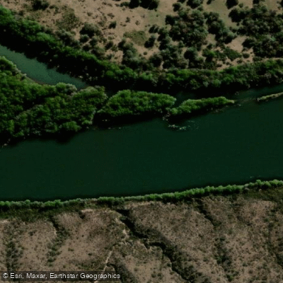
Río Negro
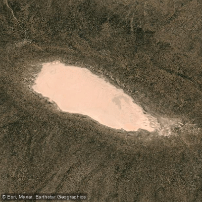
Laguna Tachuela
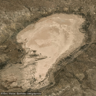
Laguna Grande
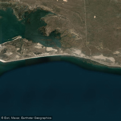
Bahía Ballenas
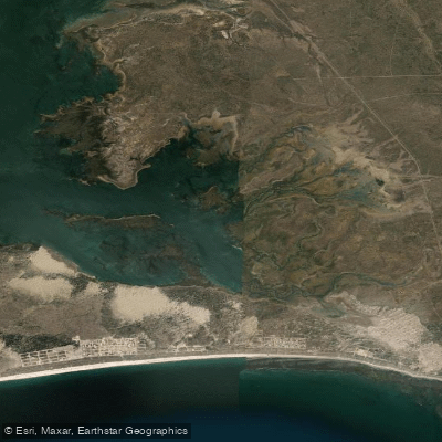
Saco Viejo
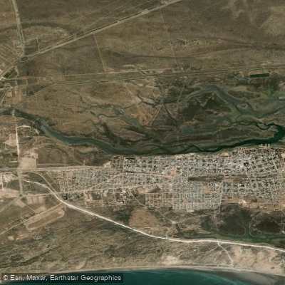
Caleta Oeste
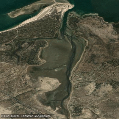
Caleta Falsa
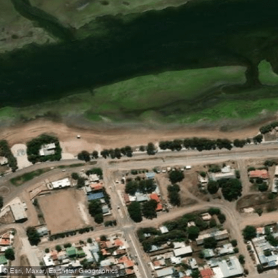
Balneario Los Tamariscos
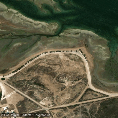
Balneario Arbolito de Salas
Explore Río Negro waters
Top paddling waters
No waters available right now.
Popular Cities
Loading popular cities...
Explore near Bahía de San Antonio

Smarter Paddling Starts in the App.
Paddleways gives you everything you need to plan smarter, paddle better, and own every trip from first launch to takeout.