Caleta Falsa
- Saltwater
- Cove
Caleta Falsa
- Saltwater
- Cove
- Sq. miles
- 0.9
- Boat Ramps
- 0
- Access Points
- 0
- Campsites
- 0
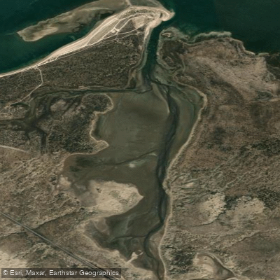
Caleta Falsa, also known as Punta Perdices, is a sheltered coastal lagoon located near San Antonio in Río Negro province. It is formed by a narrow arm of the sea that penetrates inland from the larger Bahía de San Antonio within the Gulf of San Matías. The primary access for paddlers is via Puerto San Antonio Este, approximately 60 kilometers from Las Grutas. From the port, a coastal track begins at the Mirador Norte and leads to the entrance of the caleta, where the path becomes a narrower trail through typical coastal shrubs. The final approach to the water is across a ground completely covered in white seashells that crunch underfoot. This unique shell-covered shoreline and the contrasting blue of the sheltered sea water are defining visual characteristics. The water within the caleta is exceptionally calm, clear, and transparent, creating a mirror-like surface that reflects the shell-laden bottom. This quiet, protected environment makes it ideal for paddling, swimming, and snorkeling, as it is notably sheltered from the wind compared to the open coast. The area is an oasis of blue waters, and the surrounding terrain is abundant with mollusk shells. There are no specific facilities, regulations, or recommended routes for paddlers, and access involves navigating an unpaved track that becomes a trail.
Water access, boat ramps & amenities
Learn how to get on Caleta Falsa. Uncover great paddling access points, boat ramps, and all the facilities you need for an unforgettable day on the water. Some locations shown may border or include private property. Always check property boundaries and applicable regulations before visiting. PaddleWays's Public & Private Land layer can help you plan your access with confidence.
Paddle smarter with real-time insights
Whether you're en route and conditions shift or you're looking for the best spot based on current flows, we enable you to make informed decisions on the fly.







Río Negro licenses and regulations

Find Places to Paddle

Over 400,000 Places to Paddle
Every user gets free access to launch points, boat ramps, and public property parcels.


Tides, wind & water conditions (10 day forecast)
On open water, wind and tide matter as much as the weather. See the best times to paddle Caleta Falsa and check the marine forecast before you launch.
Loading tide predictions…
Paddling near Caleta Falsa
Río Negro
Laguna Tachuela
Bahía de San Antonio
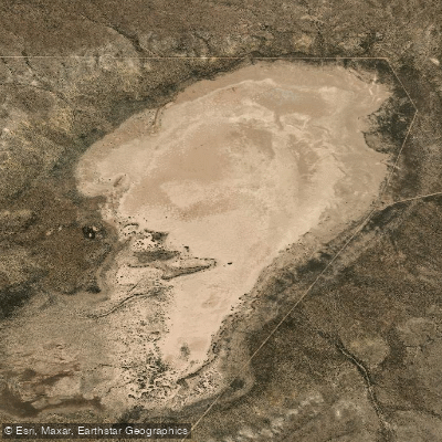
Laguna Grande
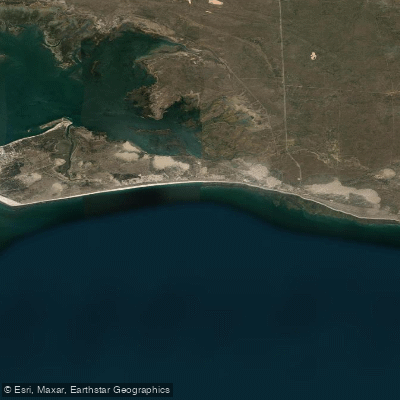
Bahía Ballenas
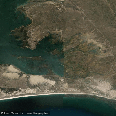
Saco Viejo
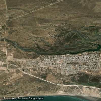
Caleta Oeste
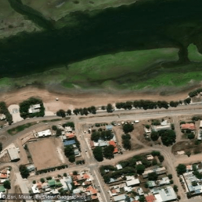
Balneario Los Tamariscos
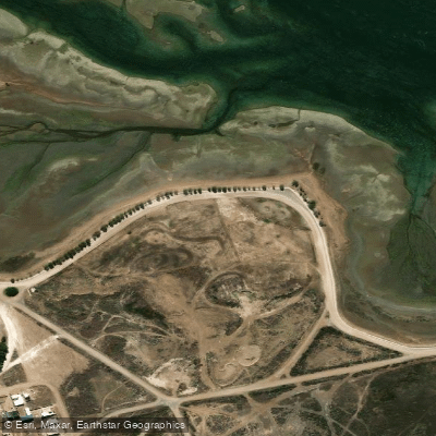
Balneario Arbolito de Salas
Explore Río Negro waters
Top paddling waters
No waters available right now.
Popular Cities
Loading popular cities...
Explore near Caleta Falsa

Smarter Paddling Starts in the App.
Paddleways gives you everything you need to plan smarter, paddle better, and own every trip from first launch to takeout.