Embalse Ingeniero Antonio Medina Allende
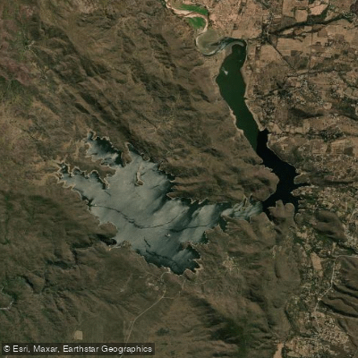
Embalse Ingeniero Antonio Medina Allende
- Boat Ramps
- 0
- Access Points
- 0
- Campsites
- 3
The Embalse Ingeniero Antonio Medina Allende, commonly known as Dique La Viña, sits in the Valle de Traslasierra in western Córdoba province, located approximately 22 km from Villa Dolores and 35 km from Mina Clavero, within the Departamento San Javier. The reservoir lies at an altitude of 839 meters above sea level and is formed by the confluence of the ríos Panaholma, Mina Clavero, and Chico de Nono, all feeding into the río de los Sauces. The water surface covers 1,050 hectares, and the reservoir reaches depths of up to 100 meters, making it one of the deepest in Latin America.
The dam structure itself is a reinforced concrete gravity dam standing 106–107 meters tall with a crest length of 317 meters — one of the tallest dams in Argentina. Construction was completed on June 15, 1944, using over 184,000 cubic meters of reinforced concrete. The surrounding landscape is defined by the sierras de Achala, providing a dramatic backdrop of mountain terrain.
For paddlers, the reservoir supports kayaking, sailing, and motorboat excursions. Fishing is also popular, with pejerrey among the target species. The spring and summer months are considered the most favorable time to visit, given the more agreeable climate during those seasons. Facilities in the area include picnic areas, restrooms, and designated camping zones, along with parking near the water.
From Córdoba Capital, the most common route is via the autopista Justiniano Allende Posse toward Villa Carlos Paz, then along the Camino de las Altas Cumbres to Mina Clavero, covering approximately 157 km total. The reservoir's considerable depth and the height of the dam wall are factors paddlers should keep in mind, as conditions on deep mountain reservoirs can change. The surrounding terrain and panoramic views from the water are a notable feature of the experience on this reservoir.
Water access, boat ramps & amenities
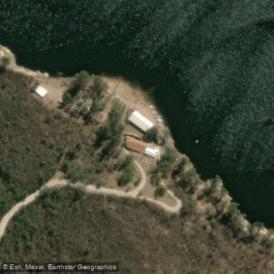
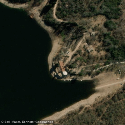
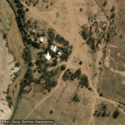
Learn how to get on Embalse Ingeniero Antonio Medina Allende. Uncover great paddling access points, boat ramps, and all the facilities you need for an unforgettable day on the water. Some locations shown may border or include private property. Always check property boundaries and applicable regulations before visiting. PaddleWays's Public & Private Land layer can help you plan your access with confidence.
Paddle smarter with real-time insights
Whether you're en route and conditions shift or you're looking for the best spot based on current flows, we enable you to make informed decisions on the fly.







Córdoba licenses and regulations

Find Places to Paddle

Over 400,000 Places to Paddle
Every user gets free access to launch points, boat ramps, and public property parcels.


Water and weather conditions (10 day forecast)
See the best times to paddle Embalse Ingeniero Antonio Medina Allende and check the forecast before you go.
No forecast data available.
Paddling near Embalse Ingeniero Antonio Medina Allende
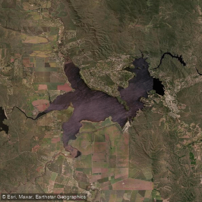
Embalse Ministro Juan Pistarini
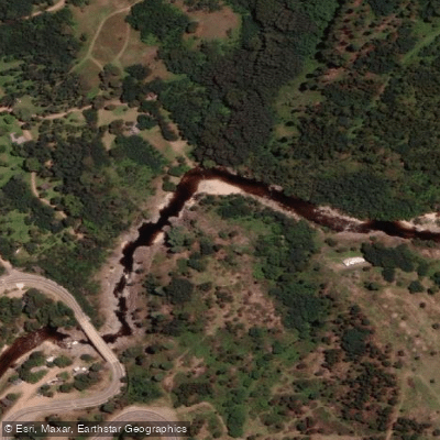
Río de los Reartes
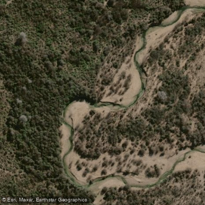
Río Conlara
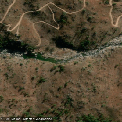
Río El Durazno
Río Tabaquillo
Río Quillinzo
Embalse Cerro Pelado
Río de los Sauces
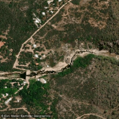
Río Chico de Nono
Explore Córdoba waters
Top paddling waters
No waters available right now.
Popular Cities
Loading popular cities...
Explore near Embalse Ingeniero Antonio Medina Allende

Smarter Paddling Starts in the App.
Paddleways gives you everything you need to plan smarter, paddle better, and own every trip from first launch to takeout.