Río de los Reartes
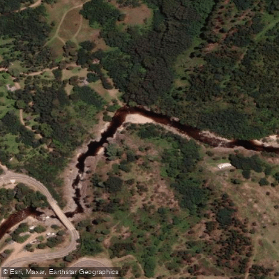
Río de los Reartes
- Boat Ramps
- 0
- Access Points
- 0
- Campsites
- 4
The Río de los Reartes flows through the Valle de Calamuchita in the province of Córdoba, Argentina. It originates at the foot of Cerro Negro in the Sierras Grandes and winds its way down through the town of Los Reartes, which sits roughly 7 km from Villa General Belgrano and about 11 km from Dique Los Molinos. The river forms part of the upper basin of the Río Segundo (also known as the Xanaes). Its waters are clear, and the riverbanks feature white sand beaches, tree cover, and natural swimming areas.
The river is generally calm and well suited to kayaking. The town of Los Reartes has rental stations where kayaks and pedal boats (hidropedales) can be hired. The proximity to Lago Los Molinos also allows paddlers to extend their time on the water onto the reservoir. Kayaking activity is concentrated during the summer season (January and February) and the winter school holidays, as these are the periods when rental services operate.
During the peak summer months, the municipality runs a managed access program called "Sectores Controlados del Río," which divides the river into four designated zones: La Toma, El Aguacero, La Tasca, and El Chorro. These sectors have paid parking, waste bins, barbecue facilities, portable toilets, signage, and environmental monitors who provide visitor information. The program is oriented around keeping the river clean and safe.
One notable safety consideration is that the river is subject to sudden and significant rises in water level. A flash flood event caused the destruction of a pedestrian bridge structure, underscoring that rapid increases in flow can occur with little warning. Paddlers should be aware of this hazard, particularly during or after heavy rainfall in the catchment area.
The river corridor includes several kilometers of riverside streets (calles costaneras) that provide access to different natural swimming areas and rest stops, making it straightforward to enter or exit the water at multiple points along the town stretch.
Water access, boat ramps & amenities
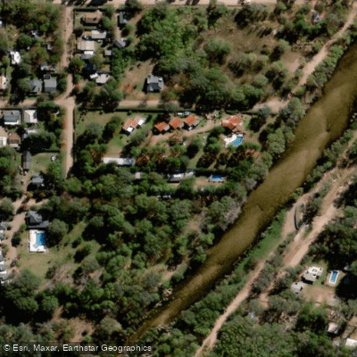
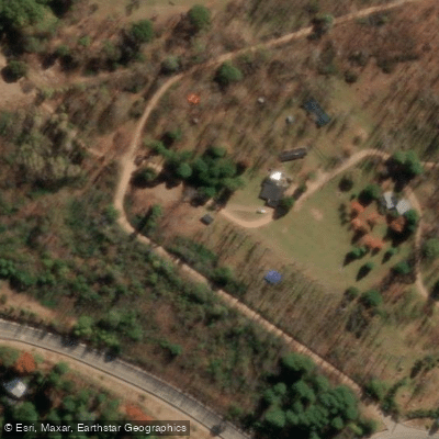
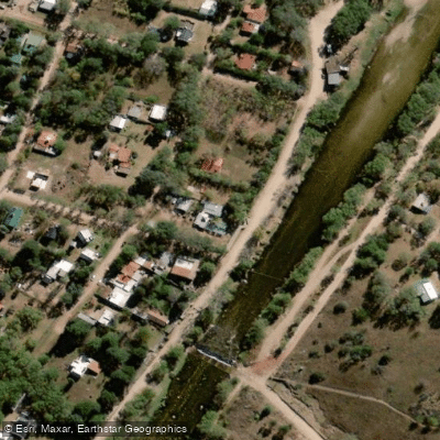
Learn how to get on Río de los Reartes. Uncover great paddling access points, boat ramps, and all the facilities you need for an unforgettable day on the water. Some locations shown may border or include private property. Always check property boundaries and applicable regulations before visiting. PaddleWays's Public & Private Land layer can help you plan your access with confidence.
Paddle smarter with real-time insights
Whether you're en route and conditions shift or you're looking for the best spot based on current flows, we enable you to make informed decisions on the fly.







Córdoba licenses and regulations

Find Places to Paddle

Over 400,000 Places to Paddle
Every user gets free access to launch points, boat ramps, and public property parcels.


Water and weather conditions (10 day forecast)
See the best times to paddle Río de los Reartes and check the forecast before you go.
No forecast data available.
Paddling near Río de los Reartes
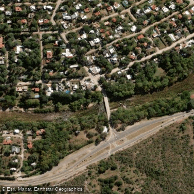
Río Anizacate
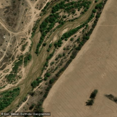
Río Segundo (Xanaes)
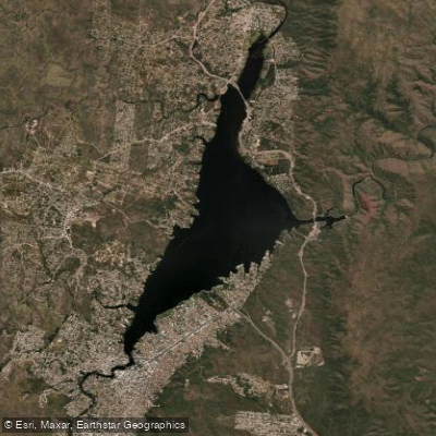
Embalse San Roque
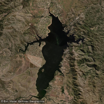
Embalse Los Molinos
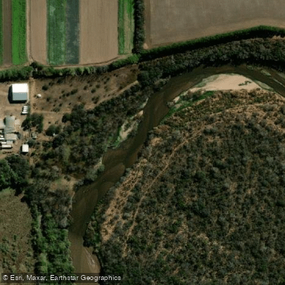
Río Primero (Suquía)
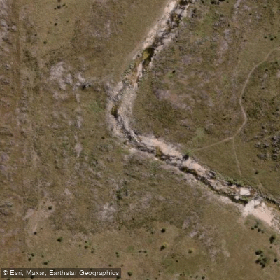
Río de la Suela
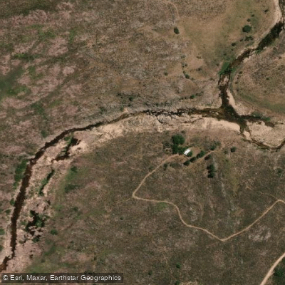
Río Yuspe
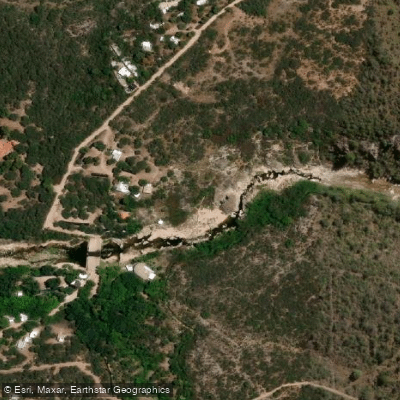
Río Chico de Nono
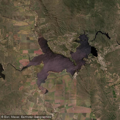
Embalse Ministro Juan Pistarini
Explore Córdoba waters
Top paddling waters
No waters available right now.
Popular Cities
Loading popular cities...
Explore near Río de los Reartes

Smarter Paddling Starts in the App.
Paddleways gives you everything you need to plan smarter, paddle better, and own every trip from first launch to takeout.