Río Mina Clavero
Río Mina Clavero
- Boat Ramps
- 0
- Access Points
- 0
- Campsites
- 1
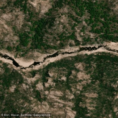
The Río Mina Clavero originates in the Pampa de Achala within the Sierras Grandes and descends steeply through a short, swift course into the Valle de Traslasierra in western Córdoba Province. The river's source is marked by the Cascada del Nacimiento, a 102-meter waterfall located at kilometer 27 of Ruta Provincial 34 (Camino de las Altas Cumbres), approximately 30 kilometers from the town of Mina Clavero and about 100 kilometers from Villa Carlos Paz. A parador at the trailhead provides parking, and a short hike of moderate difficulty — involving a significant number of steps — leads to a natural overlook of the falls. A small entrance fee is charged to access the trail.
The river's waters are cold, clear, and mineralized, having passed through various rock corridors on their descent from the highlands. As it flows through and around the town of Mina Clavero, the river offers roughly 14 miles of sandy beaches, rock formations, small waterfalls, and natural pools. Several named swimming and recreation areas are distributed along this stretch, including La Toma, a family-friendly spot; El Nido del Águila, where canyon walls up to 22 meters high enclose the river and form deep natural pools; La Residencia, located about 900 meters from the central bridge; and Los Elefantes and Los Cajones, both known for their quieter atmosphere.
The river eventually meets the Río Panaholma, whose waters arrive warmer from the Pampa de Achala, and the two combine to form the Río de Los Sauces. The town of Mina Clavero is served by buses from Córdoba city (142 kilometers via RP34), though reaching the river source trailhead specifically may require a taxi or arranged transport from town.
Kayaking is a popular summer activity on the rivers in the area. The river was recognized in 2019 by the New 7 Wonders Foundation as one of the seven natural wonders of Argentina, reflecting its regional significance as a natural and tourist resource.
Water access, boat ramps & amenities
Learn how to get on Río Mina Clavero. Uncover great paddling access points, boat ramps, and all the facilities you need for an unforgettable day on the water. Some locations shown may border or include private property. Always check property boundaries and applicable regulations before visiting. PaddleWays's Public & Private Land layer can help you plan your access with confidence.
Paddle smarter with real-time insights
Whether you're en route and conditions shift or you're looking for the best spot based on current flows, we enable you to make informed decisions on the fly.







Córdoba licenses and regulations

Find Places to Paddle

Over 400,000 Places to Paddle
Every user gets free access to launch points, boat ramps, and public property parcels.


Water and weather conditions (10 day forecast)
See the best times to paddle Río Mina Clavero and check the forecast before you go.
No forecast data available.
Paddling near Río Mina Clavero
Río Anizacate
Río Segundo (Xanaes)
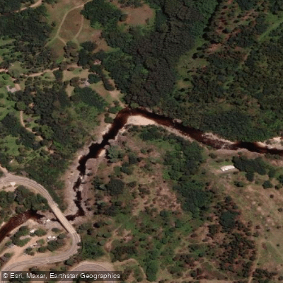
Río de los Reartes
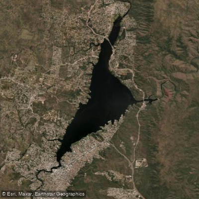
Embalse San Roque
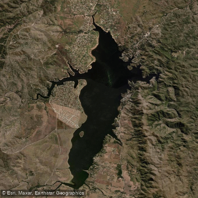
Embalse Los Molinos
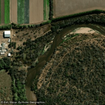
Río Primero (Suquía)
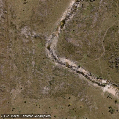
Río de la Suela
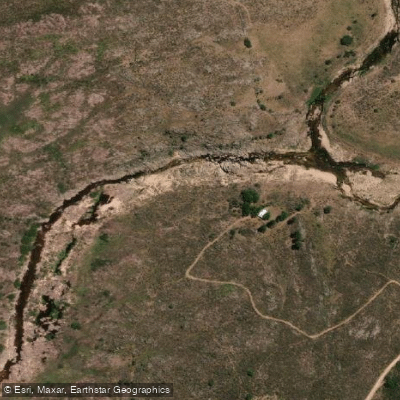
Río Yuspe
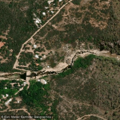
Río Chico de Nono
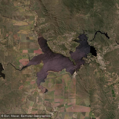
Embalse Ministro Juan Pistarini
Explore Córdoba waters
Top paddling waters
No waters available right now.
Popular Cities
Loading popular cities...
Explore near Río Mina Clavero

Smarter Paddling Starts in the App.
Paddleways gives you everything you need to plan smarter, paddle better, and own every trip from first launch to takeout.