Río Pintos
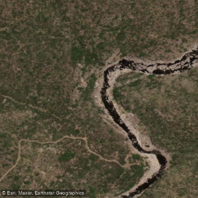
Río Pintos
- Boat Ramps
- 0
- Access Points
- 0
- Campsites
- 0
Río Pintos flows through the sierra country of northern Córdoba province, descending from the ranges toward the basin of Laguna Mar Chiquita. The river takes its name from a landowning family that settled the area in the 17th century. It runs seasonally, carrying water primarily during the wet season, and the surrounding landscape is characterized by dense monte with algarrobos, chañares, and aguaribays. The nearest town is Cañada del Río Pinto, located approximately 110 kilometers from Córdoba Capital via RN 9, where some lodging options exist in the area.
Flash flooding is the dominant safety concern on Río Pintos and must be taken seriously. Warning signs along the river explicitly mark zones of sudden flash floods, and the hazard is real — when the river rises, it does so rapidly and with considerable force. After flood events, the water runs heavily laden with sediment and debris. Paddlers and visitors should heed all posted warnings without exception.
The river corridor is largely wild and has minimal infrastructure. The terrain along the banks is dense and can be difficult to move through in the heat. Fords cross the river at several points, including the known crossing at Vado de López. The overall character of the river is that of an undeveloped, intermittent mountain stream in a remote setting, with little to no facilities specifically for paddlers.
Given the seasonal and intermittent nature of the flow, the flash flood risk, and the absence of established paddling infrastructure, anyone considering time on this river should have a thorough understanding of local weather patterns and be prepared to exit quickly if conditions change.
Water access, boat ramps & amenities
Learn how to get on Río Pintos. Uncover great paddling access points, boat ramps, and all the facilities you need for an unforgettable day on the water. Some locations shown may border or include private property. Always check property boundaries and applicable regulations before visiting. PaddleWays's Public & Private Land layer can help you plan your access with confidence.
Paddle smarter with real-time insights
Whether you're en route and conditions shift or you're looking for the best spot based on current flows, we enable you to make informed decisions on the fly.







Córdoba licenses and regulations

Find Places to Paddle

Over 400,000 Places to Paddle
Every user gets free access to launch points, boat ramps, and public property parcels.


Water and weather conditions (10 day forecast)
See the best times to paddle Río Pintos and check the forecast before you go.
No forecast data available.
Paddling near Río Pintos
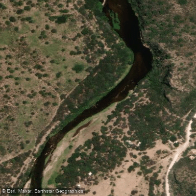
Río Quilipo
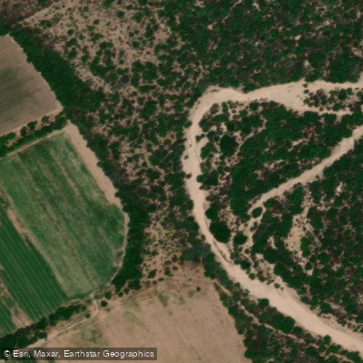
Río Cruz del Eje
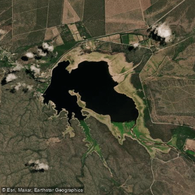
Embalse de Cruz del Eje
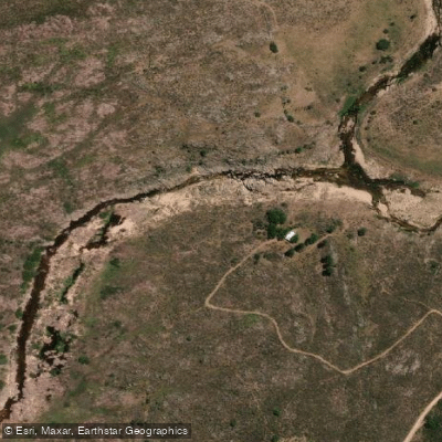
Río Yuspe
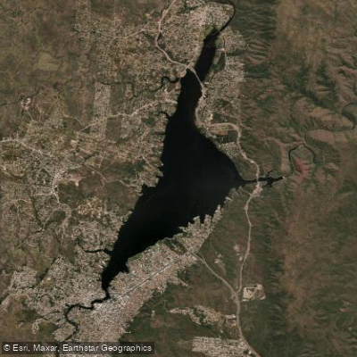
Embalse San Roque
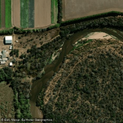
Río Primero (Suquía)
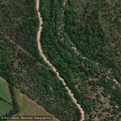
Río Pichanas
Arroyo Ciénaga del Coro
Arroyo Áspero
Explore Córdoba waters
Top paddling waters
No waters available right now.
Popular Cities
Loading popular cities...
Explore near Río Pintos

Smarter Paddling Starts in the App.
Paddleways gives you everything you need to plan smarter, paddle better, and own every trip from first launch to takeout.