Río Santa María
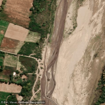
Río Santa María
- Boat Ramps
- 0
- Access Points
- 0
- Campsites
- 7
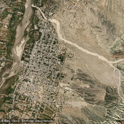
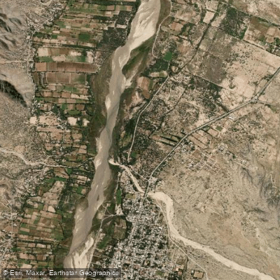
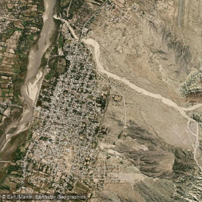
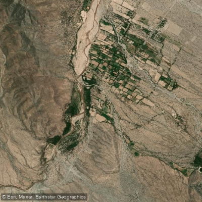
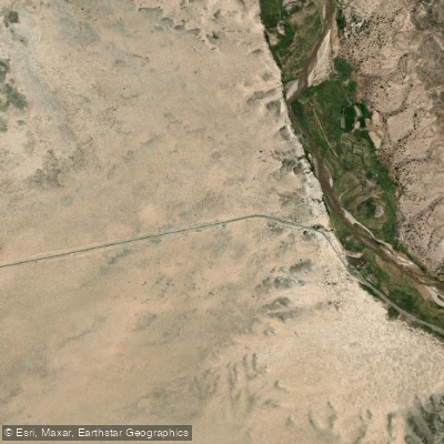
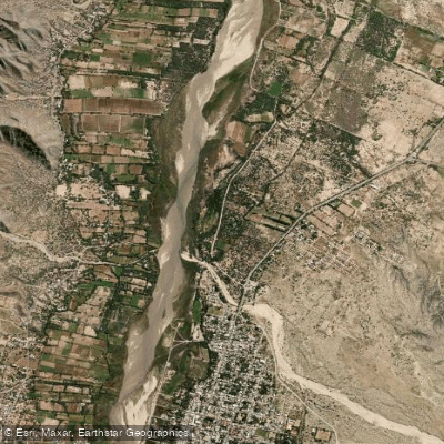
The Río Santa María flows through the Departamento Santa María in Catamarca, Argentina, running from south to north — a direction that stands out given the regional topography. It is an exorheic river, meaning its waters eventually reach the sea; it forms part of the Cuenca del Río de la Plata and ultimately drains to the Atlantic Ocean. Near the locality of Pie de Médano, the river executes a pronounced U-bend, a distinctive geographic feature visible from the road.
The river's character changes markedly with the seasons. During the austral summer (roughly December through February), water levels rise substantially, and the river runs with considerable force. This is also the period of greatest flash-flood risk: storms developing in the surrounding hills can send sudden surges of foamy, high-velocity water down otherwise dry tributary channels and riverbeds with very little warning. Anyone on or near the river during the wet season should monitor weather conditions closely and be prepared to move quickly away from low-lying channels. The badenes (low-water crossings) along Ruta Nacional 40 in the area are also subject to rapid inundation during storms.
The surrounding landscape includes the Cerros de Colores (colored hills), Cerro Pintado, and the archaeological site of Fuerte Quemado, giving the corridor scenic and cultural interest beyond the river itself. Several camping options exist in the vicinity, including Camping El Sol, a Camping Municipal, and Hostel Camping El Sol, which can serve as base camps for paddlers exploring the area.
Given the flash-flood hazard during summer, paddlers should treat any period of active storm development as a serious safety concern and avoid committing to channels or riverbeds that could fill rapidly.
Water access, boat ramps & amenities
Learn how to get on Río Santa María. Uncover great paddling access points, boat ramps, and all the facilities you need for an unforgettable day on the water. Some locations shown may border or include private property. Always check property boundaries and applicable regulations before visiting. PaddleWays's Public & Private Land layer can help you plan your access with confidence.
Paddle smarter with real-time insights
Whether you're en route and conditions shift or you're looking for the best spot based on current flows, we enable you to make informed decisions on the fly.







Catamarca licenses and regulations

Find Places to Paddle

Over 400,000 Places to Paddle
Every user gets free access to launch points, boat ramps, and public property parcels.


Water and weather conditions (10 day forecast)
See the best times to paddle Río Santa María and check the forecast before you go.
Santa Maria - Pie de Medano
Paddling near Río Santa María
Río Los Sosa
Río El Casadero
Río Cerro Negro
Embalse La Angostura
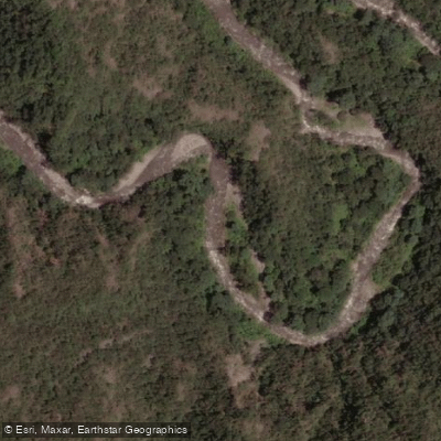
Río Ancajuli
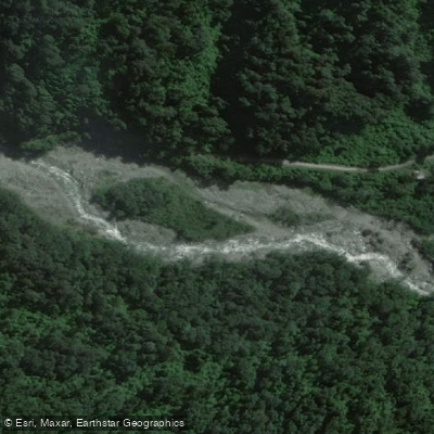
Río Pueblo Viejo
Río Lules
Arroyo Calimayo
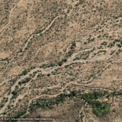
Río Seco
Explore Catamarca waters
Top paddling waters
No waters available right now.
Popular Cities
Loading popular cities...
Explore near Río Santa María

Smarter Paddling Starts in the App.
Paddleways gives you everything you need to plan smarter, paddle better, and own every trip from first launch to takeout.