Río Pueblo Viejo
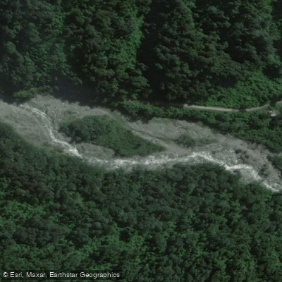
Río Pueblo Viejo
- Boat Ramps
- 0
- Access Points
- 0
- Campsites
- 0
The Río Pueblo Viejo is formed by the confluence of two tributaries, the Río La Horqueta and the Río Los Reales, which descend from the Cumbres Calchaquíes in the Departamento Monteros, roughly 30 km west of the city of Monteros and about 85 km southwest of San Miguel de Tucumán. The upper tributaries carry a steep gradient, but once they join to form the Río Pueblo Viejo the gradient eases considerably and the valley opens into a broader floodplain. A hydroelectric facility, the Central Hidroeléctrica Pueblo Viejo, has been operating on the river since 1967, and its presence is a defining feature of the paddling experience here.
The river is rated Class III–IV. The standard run begins at the power station, where paddlers must walk through brush and descend approximately 200 meters alongside the river to reach the point where water is released from the facility. That initial 200-meter stretch serves as an informal gauge of readiness — if a paddler can handle it, the rest of the run is rewarding. The take-out is on river left, somewhere downstream after passing a small village, making the total run approximately 3.5 km. A second documented section runs from a place called Los Piletones to the hydroelectric power station, representing a first descent that has since been added to the local repertoire.
There is also a section known as Barrio–Puente, also rated III–IV, which adds further variety for paddlers exploring the river. The route road runs along the left bank, providing multiple take-out options and making logistics relatively straightforward. The combination of continuous rapids, accessible road proximity, and the surrounding landscape — dense subtropical vegetation characteristic of the Tucumán foothills — makes this a well-regarded run among local and visiting paddlers. The river sits within the broader Río Salí/Dulce drainage basin.
Tucumán as a region has developed a reputation for quality whitewater across multiple rivers, and the Río Pueblo Viejo is considered one of the established classics in that circuit, alongside rivers such as Los Sosa, Lules, and Loro.
Water access, boat ramps & amenities
Learn how to get on Río Pueblo Viejo. Uncover great paddling access points, boat ramps, and all the facilities you need for an unforgettable day on the water. Some locations shown may border or include private property. Always check property boundaries and applicable regulations before visiting. PaddleWays's Public & Private Land layer can help you plan your access with confidence.
Paddle smarter with real-time insights
Whether you're en route and conditions shift or you're looking for the best spot based on current flows, we enable you to make informed decisions on the fly.







Tucumán licenses and regulations

Find Places to Paddle

Over 400,000 Places to Paddle
Every user gets free access to launch points, boat ramps, and public property parcels.


Water and weather conditions (10 day forecast)
See the best times to paddle Río Pueblo Viejo and check the forecast before you go.
No forecast data available.
Paddling near Río Pueblo Viejo
Río Los Sosa
Río Dulce
Río Lules
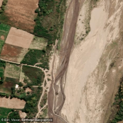
Río Santa María
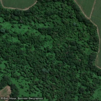
Arroyo Calimayo
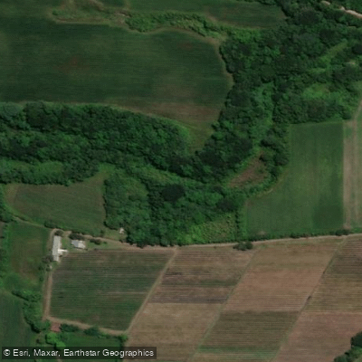
Arroyo El Tejar
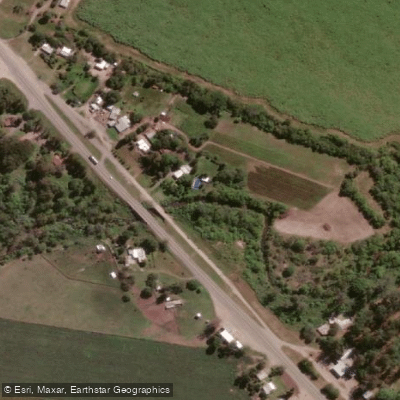
Arroyo Mista
Embalse La Angostura
Embalse Río Hondo
Explore Tucumán waters
Top paddling waters
No waters available right now.
Popular Cities
Loading popular cities...
Explore near Río Pueblo Viejo

Smarter Paddling Starts in the App.
Paddleways gives you everything you need to plan smarter, paddle better, and own every trip from first launch to takeout.