Río Los Sosa
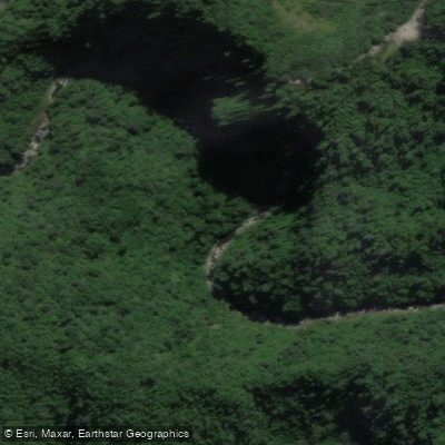
Río Los Sosa
- Boat Ramps
- 0
- Access Points
- 0
- Campsites
- 0
Río Los Sosa is a mountain river flowing through the Yungas ecoregion of central-western Tucumán Province, Argentina, within the Reserva Provincial Los Sosa. The river runs along Ruta Provincial 307, the main corridor connecting the lowlands to the Valle de Tafí and the Valles Calchaquíes, and drains into the Salí-Dulce basin, ultimately reaching Laguna Mar Chiquita in Córdoba. The river descends through a pronounced altitudinal gradient, from roughly 500 to 1,900 meters above sea level, passing through successive vegetation zones of the Yungas as it drops.
For whitewater paddlers, the river offers multiple sections of varying difficulty. The Heladera section (Class III–IV) puts in at an old house on river left just after the small creek La Heladera, with the takeout where Route 307 approaches the river near an empty house with a single track to the water. The Fin del Mundo section (Class III–IV) begins at the Heladera takeout and ends at the Route 307 pullout past the Indian statue parking area on the last U-turn. The Indio Vialidad section (Class IV–V) starts at the Fin del Mundo takeout and finishes at the Vialidad house. The Vialidad Aforo section (Class II–III) runs from the Vialidad house to the Aforo station. Below that, a roughly 4-kilometer stretch beginning at the Aforo station offers continuous rapids at Class II–III, with multiple takeout options along the left bank where the road parallels the river closely.
The climate in the valley is warm and humid, moderated by elevation, with the bulk of precipitation falling in summer (the austral summer, roughly November through March), when annual totals can reach 2,700 mm. Winter months bring persistent fog that maintains humidity even outside the rainy season. Higher water levels during the summer rainy season will generally increase the intensity of the rapids.
The river corridor supports notably rich birdlife, with 118 species recorded along its length, including the torrent duck (Merganetta armata) and the Rufous-throated dipper (Cinclus schulzi), both indicators of good river habitat quality. The reserve encompasses approximately 890 hectares of protected Yungas habitat, and the road access along Route 307 makes logistics relatively straightforward for most sections.
Water access, boat ramps & amenities
Learn how to get on Río Los Sosa. Uncover great paddling access points, boat ramps, and all the facilities you need for an unforgettable day on the water. Some locations shown may border or include private property. Always check property boundaries and applicable regulations before visiting. PaddleWays's Public & Private Land layer can help you plan your access with confidence.
Paddle smarter with real-time insights
Whether you're en route and conditions shift or you're looking for the best spot based on current flows, we enable you to make informed decisions on the fly.







Tucumán licenses and regulations

Find Places to Paddle

Over 400,000 Places to Paddle
Every user gets free access to launch points, boat ramps, and public property parcels.


Water and weather conditions (10 day forecast)
See the best times to paddle Río Los Sosa and check the forecast before you go.
Los Sosa - RP30 km19
Paddling near Río Los Sosa
Río Dulce
Río Pueblo Viejo
Río Lules
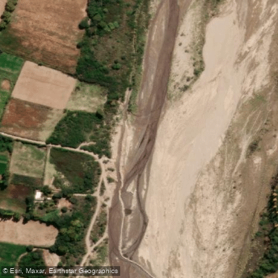
Río Santa María
Arroyo Calimayo
Arroyo El Tejar
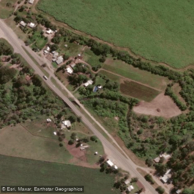
Arroyo Mista
Embalse La Angostura
Embalse Río Hondo
Explore Tucumán waters
Top paddling waters
No waters available right now.
Popular Cities
Loading popular cities...
Explore near Río Los Sosa

Smarter Paddling Starts in the App.
Paddleways gives you everything you need to plan smarter, paddle better, and own every trip from first launch to takeout.