Embalse La Angostura
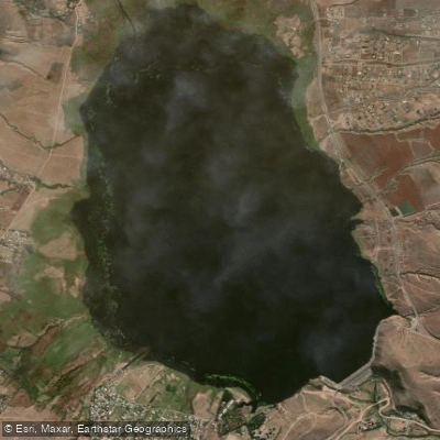
Embalse La Angostura
- Boat Ramps
- 1
- Access Points
- 0
- Campsites
- 1
Embalse La Angostura, also known as Lago El Mollar, is an artificial freshwater reservoir created by the Dique de La Angostura, constructed in the 1970s in the province of Tucumán, Argentina. It sits at the foot of Cerro Nuñorco, on the southern shore of the reservoir, within the Departamento Tafí del Valle.
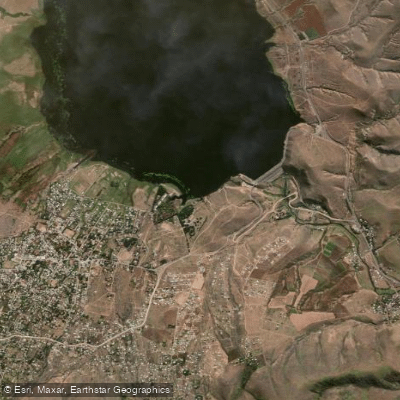
The reservoir is framed by dramatic mountain terrain: the steep and frequently snow-capped Sierras del Aconquija rise to the south, reaching elevations of around 5,000 meters above sea level, while the Cumbres Calchaquíes extend to the north. The Valle de Tafí lies immediately to the northwest, and the Quebrada de los Sosa opens to the southeast. The town of El Mollar sits on the southern shore, and the Parque Provincial de los Menhires is located nearby.
Kayaking is an established activity on the reservoir, available both for solo paddlers and groups. A typical kayak outing lasts around half an hour and involves a cost. Windsurf is also practiced on the water. The reservoir serves as the entry point to the valley, and the backdrop of mountains behind the water is a defining visual feature of the experience.
Sport fishing is another draw, with pejerrey (silverside) among the species available. Fishing can be done from the surface or at depth, with 6 meters as a preferred depth for pejerrey. The best fishing season runs from March to April, which corresponds to late summer in the Southern Hemisphere.
Camping facilities are available in the area, including a Camping Mutualidad Provincia de Tucumán at the reservoir access point and another camping area between El Dorita and El Mollar, providing basic infrastructure for paddlers planning overnight stays in the area.
Water access, boat ramps & amenities
Learn how to get on Embalse La Angostura. Uncover great paddling access points, boat ramps, and all the facilities you need for an unforgettable day on the water. Some locations shown may border or include private property. Always check property boundaries and applicable regulations before visiting. PaddleWays's Public & Private Land layer can help you plan your access with confidence.
Paddle smarter with real-time insights
Whether you're en route and conditions shift or you're looking for the best spot based on current flows, we enable you to make informed decisions on the fly.







Tucumán licenses and regulations

Find Places to Paddle

Over 400,000 Places to Paddle
Every user gets free access to launch points, boat ramps, and public property parcels.


Water and weather conditions (10 day forecast)
See the best times to paddle Embalse La Angostura and check the forecast before you go.
No forecast data available.
Paddling near Embalse La Angostura
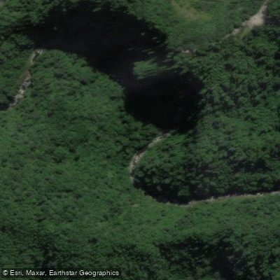
Río Los Sosa
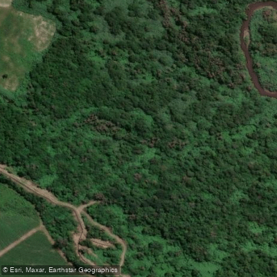
Río Lules
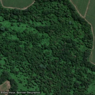
Arroyo Calimayo
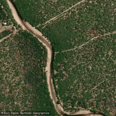
Río Dulce
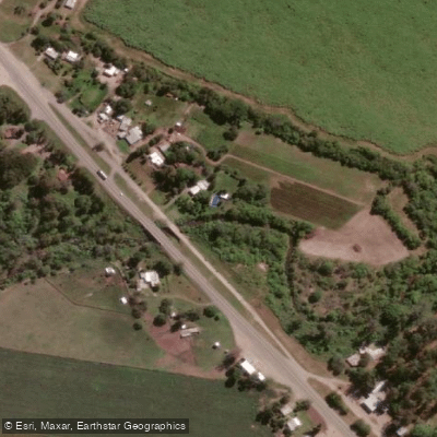
Arroyo Mista
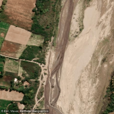
Río Santa María
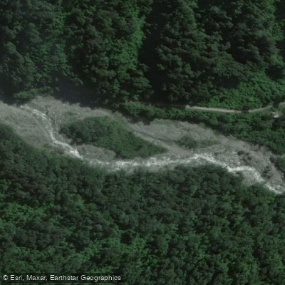
Río Pueblo Viejo
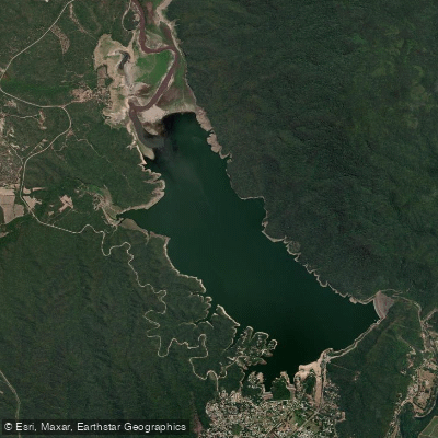
Embalse El Cadillal
Arroyo El Tejar
Explore Tucumán waters
Top paddling waters
No waters available right now.
Popular Cities
Loading popular cities...
Explore near Embalse La Angostura

Smarter Paddling Starts in the App.
Paddleways gives you everything you need to plan smarter, paddle better, and own every trip from first launch to takeout.