Bahía Gil
- Saltwater
- Bay
- Coast
- Saltwater
- Bay
- Coast
- Boat Ramps
- 0
- Access Points
- 0
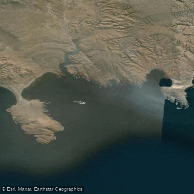
Bahía Gil is a small, east-facing coastal bay on the north shore of the Golfo San Jorge in Chubut, Argentina. It measures approximately 3 kilometers in length and 1 kilometer in maximum width. The bay is part of the Parque Interjurisdiccional Marino Costero Patagonia Austral, a protected marine coastal area. Its historical significance is notable, as it was the site where Simón de Alcazaba y Sotomayor founded the short-lived "Puerto de los Leones" at Caleta Hornos in March 1535, considered the first attempt at a permanent settlement in Argentine Patagonia. The bay's western shoreline is more protected, suggesting potential for calmer water conditions there compared to the more exposed eastern opening to the Atlantic. Within the bay are two smaller inlets, Caleta Hornos and Caleta San Roque, which may offer additional launch points or sheltered areas. The general region is characterized by remote Patagonian coastline with an "impenetrable blue" Atlantic horizon, wide shores, and a sense of preserved, quiet authenticity away from major urban centers. The area is known for marine fauna, with specific cetacean sightings recorded in the bay. For paddlers, the primary considerations are the exposed nature of the open Atlantic coast and the influence of the larger Gulf. The western section of the bay offers more protected waters, making it the logical starting point for exploration. Tidal currents and wind exposure from the east and southeast should be anticipated, typical of the Patagonian coast. There are no indicated restrictions on paddling, but its location within a national park suggests paddlers should verify any specific access or activity regulations with park authorities. The nearest significant settlement is Camarones, located 27 to 29 kilometers to the north, which would be the logical base for supplies and trip planning.
Hazards
Hazards on Bahía Gil
No hazards are marked on Bahía Gil yet. That is not the same as none being there: if you find one, report it for the next paddler.
From the community
Bahía Gil trip reports
Nobody has shared a trip on Bahía Gil yet. Paddle it, then tell the next paddler how it went.
Tides, wind & water conditions (10 day forecast)
On open water, wind and tide matter as much as the weather. See the best times to paddle Bahía Gil and check the marine forecast before you launch.
Loading tide predictions…
Paddle smarter with real-time insights
Live flows, marked hazards and fresh trip reports from paddlers who were just on the water, all in one place.







Find Places to Paddle

Over 400,000 Places to Paddle
Every user gets free access to launch points, boat ramps, and public property parcels.


Chubut licenses and regulations

Paddling near Bahía Gil
Laguna Salada
Bahía Solano
Rada Tilly
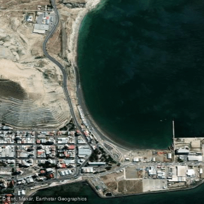
Costanera
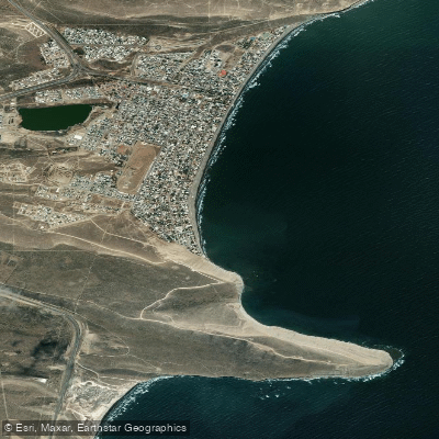
Balneario Rada Tilly
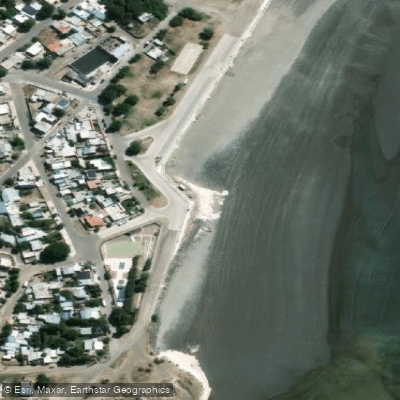
Playa de Restinga
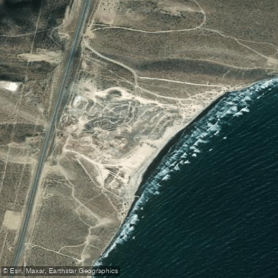
Playa Belvedere
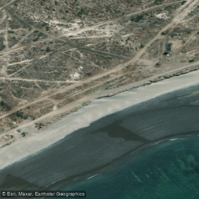
Playa Compresora
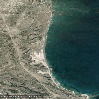
Playa Barrancas Blancas
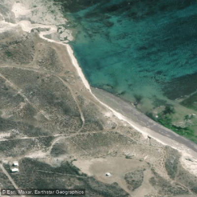
Playa Faro San Jorge
Explore Chubut waters
Top paddling waters
No waters available right now.
Explore near Bahía Gil
Smarter Paddling Starts in the App.
PaddleWays gives you everything you need to plan smarter, paddle better, and own every trip from first launch to takeout.