Arroyo Carambola
Arroyo Carambola
- Boat Ramps
- 0
- Access Points
- 0
- Campsites
- 0
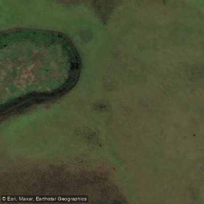
Arroyo Carambola flows through the Esteros del Iberá in Corrientes province, forming a central waterway within the Gran Parque Iberá — one of South America's largest wetland systems. The arroyo connects with its smaller tributary, Arroyo Carambolita, and links a network of lagunas including Laguna Trim and Laguna Medina, making it a natural corridor through the heart of the wetland.
The arroyo is accessible from Portal Carambola, Portal San Antonio, and Portal San Nicolás, all of which serve as established entry points for water-based activities. Portal San Nicolás includes a port where visitors can launch onto the arroyo, and the campground there — built on a former cattle ranch and managed by the National Parks Administration — offers barbecue areas, grills, and bathrooms. Hiking and horse trails also connect to the port area.
Paddling on the arroyo is characterized by calm, slow-moving water flanked by dense riparian vegetation. The narrow channels create close-range encounters with aquatic fauna, including caimans (non-dangerous), capybaras, and a wide variety of waterbirds. The quiet nature of paddle craft is a significant advantage for wildlife observation in this environment.
Short excursions of two to four hours are available from multiple portals and are guided by local baqueanos familiar with the waterways and wildlife. For more experienced paddlers, the arroyo forms part of the "Cruce de los Esteros," a multi-day guided traverse of approximately 77 kilometers connecting Portal Capivarí and Portal Carambola over three to five days. A separate six-day guided kayak expedition runs from Concepción, paddling Arroyo Carambolita and Arroyo Datilcito through the wetlands, with four nights of tent camping and two nights in a hostel. That trip requires a medium fitness level and a minimum age of 15, with groups of 6 to 12 participants.
Fishing in the province requires a permiso de pesca deportiva issued by the Dirección de Recursos Naturales, and boating in Argentina is regulated nationally by the Prefectura Naval Argentina rather than at the provincial level. Paddlers should verify current access and permit requirements before visiting, as some land bordering the waterway may be privately held.
Water access, boat ramps & amenities
Learn how to get on Arroyo Carambola. Uncover great paddling access points, boat ramps, and all the facilities you need for an unforgettable day on the water. Some locations shown may border or include private property. Always check property boundaries and applicable regulations before visiting. PaddleWays's Public & Private Land layer can help you plan your access with confidence.
Paddle smarter with real-time insights
Whether you're en route and conditions shift or you're looking for the best spot based on current flows, we enable you to make informed decisions on the fly.







Corrientes licenses and regulations

Find Places to Paddle

Over 400,000 Places to Paddle
Every user gets free access to launch points, boat ramps, and public property parcels.


Water and weather conditions (10 day forecast)
See the best times to paddle Arroyo Carambola and check the forecast before you go.
No forecast data available.
Paddling near Arroyo Carambola
Río Paraná

Río Paraná
Río Aguapey
Laguna Galarza
Arroyo Sarandí
Arroyo Itaembé
Arroyo Zequeira
Arroyo Mártires
Arroyo Bonito
Laguna San Sebastián
Explore Corrientes waters
Top paddling waters
No waters available right now.
Popular Cities
Loading popular cities...
Explore near Arroyo Carambola

Smarter Paddling Starts in the App.
Paddleways gives you everything you need to plan smarter, paddle better, and own every trip from first launch to takeout.