Río Aguapey
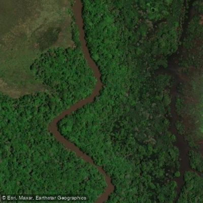
Río Aguapey
- Boat Ramps
- 0
- Access Points
- 0
- Campsites
- 1
The Río Aguapey is a tributary of the Río Uruguay in the province of Corrientes, Argentina, flowing approximately 310 kilometers through a broad alluvial plain before emptying into the Río Uruguay near the town of Alvear. The river originates near San Carlos in the northeastern corner of the province, close to the border with Misiones, and follows a sinuous, meandering course southward. Its drainage basin covers roughly 8,106 km², and the river carries a mean discharge of around 83.6 m³/s. The channel traverses terrain with very little gradient, which gives the river its characteristically slow, winding nature.
The floodplain along the Aguapey is wide and dynamic. During the rainy season, roughly December through May, the wetlands on either bank can extend up to 5 kilometers on each side, creating an expansive system of bañados. This seasonal flooding directly affects water levels and paddling conditions; a gauge reading at the Ruta 40 bridge showed a relatively low level of 0.9 meters, which caused slow progress and occasional bottom contact.
Paddlers have organized multi-day traversals of the river in segments defined by road crossings. Put-in and take-out points include the bridges at Ruta Nacional 120, Ruta Provincial 37, and Ruta Nacional 14, among others. One segment between Ruta 37 and Ruta 40 covers approximately 93 kilometers of flatwater. Groups have camped on sandy beaches along the banks during these multi-day trips. A three-day paddle ending at the Ruta Nacional 14 bridge used sandbars as campsites.
The river supports a notable variety of wildlife. Fish species include dorado, surubí, sábalo, palometa, bagre, and tararira. Reptiles present include yacarés, freshwater turtles, and snakes such as the ñacaniná and curiyú. Fishing regulations have been introduced on at least portions of the river to protect fish populations, so paddlers should verify current rules before planning a trip that includes fishing.
The overall character of the Aguapey is flatwater paddling through remote wetland and gallery forest landscapes. Groups have traveled the river in kayaks and piraguas, typically in parties of multiple boats. The remoteness of the corridor means self-sufficiency is important, as facilities along the route are minimal.
Water access, boat ramps & amenities
Learn how to get on Río Aguapey. Uncover great paddling access points, boat ramps, and all the facilities you need for an unforgettable day on the water. Some locations shown may border or include private property. Always check property boundaries and applicable regulations before visiting. PaddleWays's Public & Private Land layer can help you plan your access with confidence.
Paddle smarter with real-time insights
Whether you're en route and conditions shift or you're looking for the best spot based on current flows, we enable you to make informed decisions on the fly.







Corrientes licenses and regulations

Find Places to Paddle

Over 400,000 Places to Paddle
Every user gets free access to launch points, boat ramps, and public property parcels.


Water and weather conditions (10 day forecast)
See the best times to paddle Río Aguapey and check the forecast before you go.
Aguapey - La Sirena
All Flow Stations
Paddling near Río Aguapey

Río Uruguay
Arroyo Sarandí
Río Paraná

Río Paraná
Arroyo Zequeira
Arroyo Mártires
Arroyo Itaembé
Arroyo Mártires
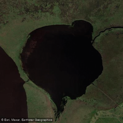
Laguna Galarza
Explore Corrientes waters
Top paddling waters
No waters available right now.
Popular Cities
Loading popular cities...
Explore near Río Aguapey
Access points
Nearby waters
More in Corrientes

Smarter Paddling Starts in the App.
Paddleways gives you everything you need to plan smarter, paddle better, and own every trip from first launch to takeout.