Arroyo Itaembé
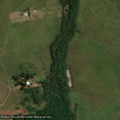
Arroyo Itaembé
- Boat Ramps
- 0
- Access Points
- 0
- Campsites
- 1
Arroyo Itaembé is a stream in Misiones, Argentina, whose course defines part of the interprovincial boundary with the Province of Corrientes. It forms part of the western boundary of the Departamento Capital and the Municipio Posadas. The stream's main channel runs 34.7 kilometers in length, and the total basin area of this small tributary of the Río Paraná reaches 224.5 km², of which 98.5 km² fall within Misiones (the right-bank tributaries), while the remaining 129 km² lie within Corrientes.
The headwaters originate at approximately 27° 32' 56" S, 55° 58' 33" W, at an elevation of around 150 meters above sea level, situated roughly 2 kilometers northwest of the junction of provincial routes 34 (Corrientes) and 213 (Misiones), and about 600 meters west of Route 213. The terrain near the source is gently sloping open country where the channel gradually becomes defined. Along its course, the stream receives several tributaries: Arroyo Cambay at kilometer 10.1, Arroyo Itaembé Mini at kilometer 25.9, and two smaller tributaries — Arroyo del Mogote and Arroyo Barrero — at kilometers 27.6 and 33 respectively. Ruta Nacional 12 crosses the stream at kilometer 14.6.
The stream originally discharged into the Río Paraná at approximately 27° 19' 50" S, 56° 01' 45" W, at an elevation of around 70 meters above sea level. However, the partial filling of the Yacyretá reservoir has altered this lower section significantly. The valley of Arroyo Barrero, the final tributary, is almost entirely inundated by the Yacyretá impoundment, and the new shoreline in this sector has retreated nearly 1 kilometer inland from the original mouth. Paddlers should be aware that the lower reaches of the stream are affected by the Yacyretá reservoir, which has substantially changed the hydrology and geography of the area near the confluence with the Paraná.
Water access, boat ramps & amenities
Learn how to get on Arroyo Itaembé. Uncover great paddling access points, boat ramps, and all the facilities you need for an unforgettable day on the water. Some locations shown may border or include private property. Always check property boundaries and applicable regulations before visiting. PaddleWays's Public & Private Land layer can help you plan your access with confidence.
Paddle smarter with real-time insights
Whether you're en route and conditions shift or you're looking for the best spot based on current flows, we enable you to make informed decisions on the fly.







Corrientes licenses and regulations

Find Places to Paddle

Over 400,000 Places to Paddle
Every user gets free access to launch points, boat ramps, and public property parcels.


Water and weather conditions (10 day forecast)
See the best times to paddle Arroyo Itaembé and check the forecast before you go.
No forecast data available.
Paddling near Arroyo Itaembé

Río Paraná

Río Paraná
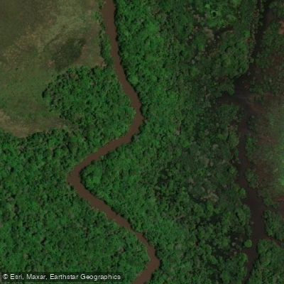
Río Aguapey
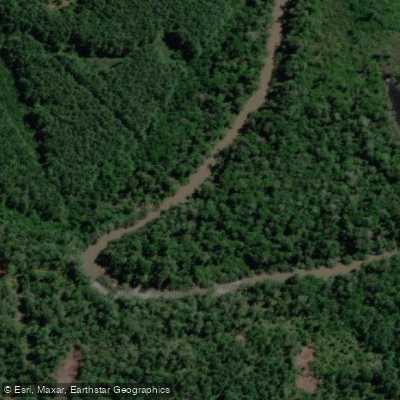
Arroyo Yabebiry
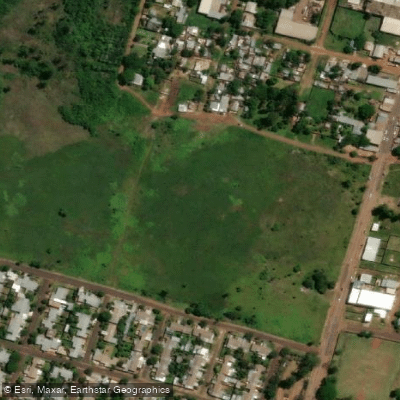
Arroyo Mártires
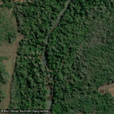
Arroyo Mártires
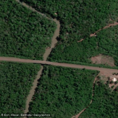
Arroyo Mártires Grande
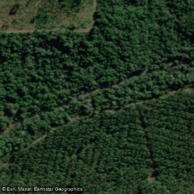
Arroyo Ñacanguazú
Arroyo del Medio
Explore Corrientes waters
Top paddling waters
No waters available right now.
Popular Cities
Loading popular cities...
Explore near Arroyo Itaembé
Access points
Nearby waters
More in Corrientes

Smarter Paddling Starts in the App.
Paddleways gives you everything you need to plan smarter, paddle better, and own every trip from first launch to takeout.