Río Corrientes
Río Corrientes
- Boat Ramps
- 1
- Access Points
- 0
- Campsites
- 2
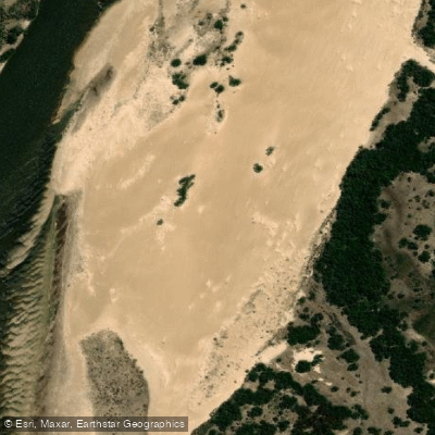
The Río Corrientes runs approximately 200 kilometers through the province of Corrientes, Argentina, originating at Laguna de Iberá and flowing southwest to its confluence with the Río Paraná at the town of Esquina. The full length of the river has been paddled by kayak, with at least one multi-day traverse completed in six days.
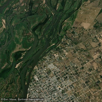
The lower 30 kilometers approaching Esquina present the most demanding section of the route. Here the river broadens considerably and divides into multiple channels separated by islands of camalotes — dense mats of floating aquatic vegetation. Current strength diminishes significantly in this stretch, and identifying the main navigable channel is genuinely difficult; paddlers have reported having to backtrack after following dead-end branches. This section demands patience and good route-finding judgment.
Heat is a serious consideration on this river. Paddlers on a multi-day traverse experienced oppressive conditions, requiring frequent improvised cooling measures throughout the day. Severe thunderstorms are also a real hazard; one traverse encountered three intense storms over six days. These conditions make heat management and weather awareness essential safety factors for any multi-day trip.
The full river traverse from Laguna de Iberá to Esquina is a logical through-paddle, and it is possible to continue onward down the Río Paraná from Esquina for paddlers seeking a longer expedition.
Water access, boat ramps & amenities
Learn how to get on Río Corrientes. Uncover great paddling access points, boat ramps, and all the facilities you need for an unforgettable day on the water. Some locations shown may border or include private property. Always check property boundaries and applicable regulations before visiting. PaddleWays's Public & Private Land layer can help you plan your access with confidence.
Paddle smarter with real-time insights
Whether you're en route and conditions shift or you're looking for the best spot based on current flows, we enable you to make informed decisions on the fly.







Corrientes licenses and regulations

Find Places to Paddle

Over 400,000 Places to Paddle
Every user gets free access to launch points, boat ramps, and public property parcels.


Water and weather conditions (10 day forecast)
See the best times to paddle Río Corrientes and check the forecast before you go.
Esquina
All Flow Stations
Paddling near Río Corrientes

Río Paraná
Río Santa Lucía
Río Paraná
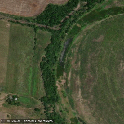
Río San Javier
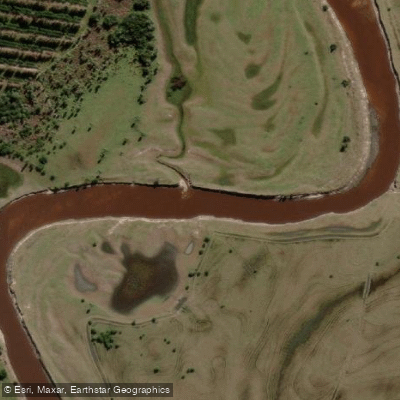
Arroyo Batel
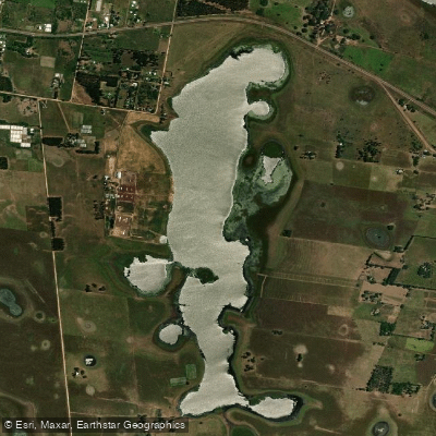
Laguna Pucú
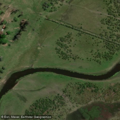
Arroyo Sarandí
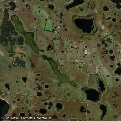
Laguna Pucú
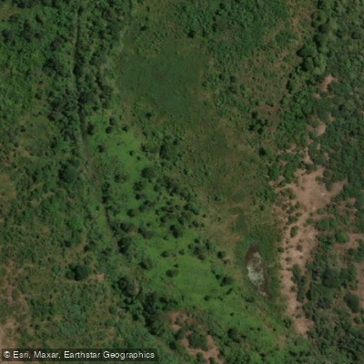
Riacho Ibirá Pitá
Explore Corrientes waters
Top paddling waters
No waters available right now.
Popular Cities
Loading popular cities...
Explore near Río Corrientes

Smarter Paddling Starts in the App.
Paddleways gives you everything you need to plan smarter, paddle better, and own every trip from first launch to takeout.