Río Paraná
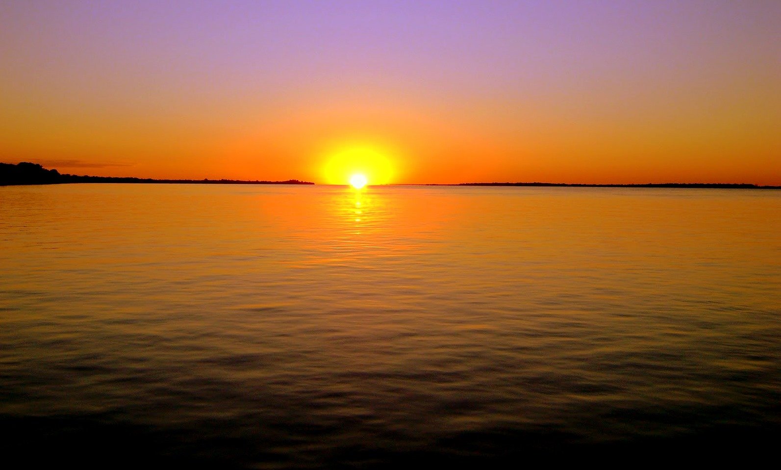
Río Paraná
- Boat Ramps
- 0
- Access Points
- 0
- Campsites
- 0
The Río Paraná in the Corrientes region of Argentina is the second-longest river in South America at 4,880 km, flowing in a southeast and southwest direction through Brazil, Paraguay, and Argentina before forming a freshwater delta at its mouth — a characteristic that distinguishes it from most major deltas worldwide, which form in saltwater. The name "Paraná" derives from the Guaraní language and translates roughly as "relative of the sea" or "water that mixes with the sea."
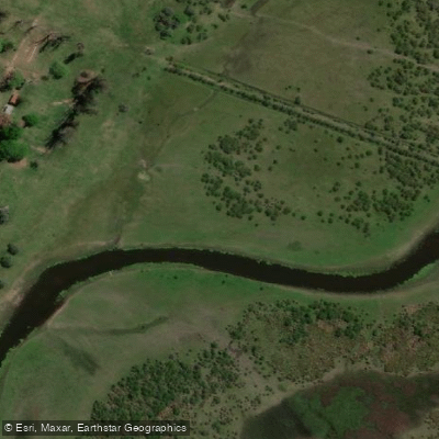
The river in this section is a structure-rich system characterized by sunken logs, boulder gardens, small bays, side channels, and extensive sandbars. The vegetation along the banks is dense and intensely green, typical of the Selva Paranaense biome, which supports over 1,500 mammal species, more than 500 bird species, over 300 fish species, 250 tree species, and 85 orchid species. Wildlife commonly encountered on the water includes lagoon turtles, painted turtles, and a wide variety of birds. Fish species present include tarpon, catfish, boga, and tararira (wolf fish), as well as the golden dorado, which is known for its aggressive behavior and acrobatic jumps.
Kayaking and stand-up paddleboarding are established activities on the river near the city of Corrientes, with guided excursions available in durations of one, two, or three hours. Sit-on-top kayaks are commonly used for these outings. Guided trips are suitable for paddlers of all experience levels and ages, and bilingual guides are available through outfitters in the area. The summer months are a popular time for paddling near Corrientes, while a separate fishing operation on the middle section of the river runs from late June through early November, targeting the dorado migration during the subtropical winter season. This seasonal fishing activity brings motorized skiffs onto the river during that period, which paddlers should be aware of when planning routes in the area.
Water access, boat ramps & amenities
Learn how to get on Río Paraná. Uncover great paddling access points, boat ramps, and all the facilities you need for an unforgettable day on the water. Some locations shown may border or include private property. Always check property boundaries and applicable regulations before visiting. PaddleWays's Public & Private Land layer can help you plan your access with confidence.
Paddle smarter with real-time insights
Whether you're en route and conditions shift or you're looking for the best spot based on current flows, we enable you to make informed decisions on the fly.







Corrientes licenses and regulations

Find Places to Paddle

Over 400,000 Places to Paddle
Every user gets free access to launch points, boat ramps, and public property parcels.


Water and weather conditions (10 day forecast)
See the best times to paddle Río Paraná and check the forecast before you go.
Isla Pati
Paddling near Río Paraná

Río Paraná
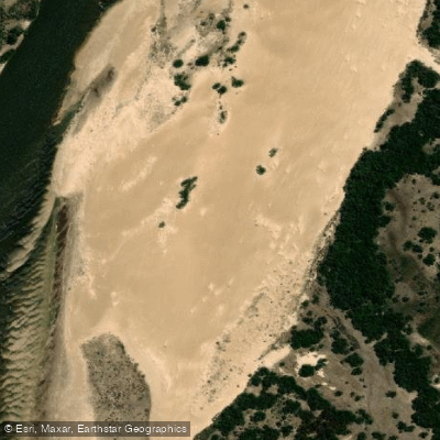
Río Corrientes
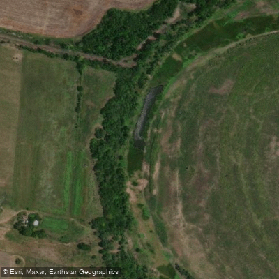
Río San Javier
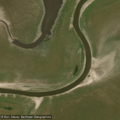
Arroyo Saladillo Dulce
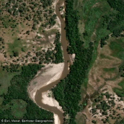
Río Guayquiraró
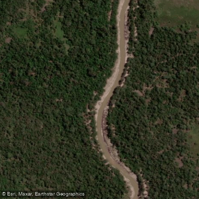
Arroyo Barrancas
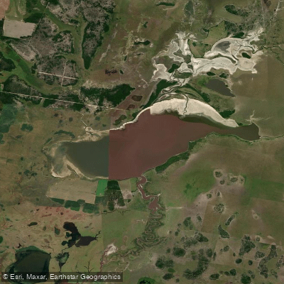
Laguna del Cristal
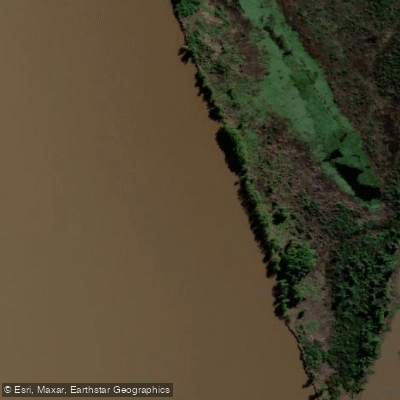
Riacho Espinillo
Arroyo Sarandí
Explore Corrientes waters
Top paddling waters
No waters available right now.
Popular Cities
Loading popular cities...
Explore near Río Paraná

Smarter Paddling Starts in the App.
Paddleways gives you everything you need to plan smarter, paddle better, and own every trip from first launch to takeout.