Río San Javier
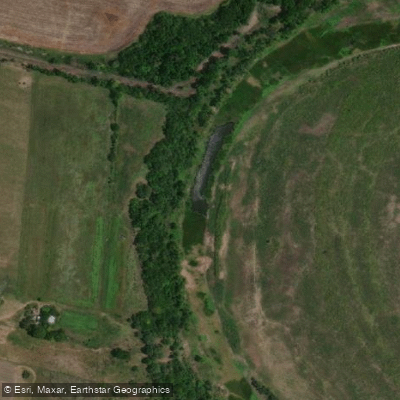
Río San Javier
- Boat Ramps
- 0
- Access Points
- 0
- Campsites
- 3
The Río San Javier is an anabranch — an arm or side channel — of the Paraná River, running through the province of Santa Fe, Argentina. It originates near the Paraná River approximately 15 kilometres south of Reconquista and flows generally southward, parallel to the main stem Paraná, before its mouth empties into a network of channels near Santa Rosa de Calchines, roughly 40 kilometres northeast of Santa Fe City. The river passes through or near the towns of San Javier and Helvecia along its course.
The lower Paraná system in this region is highly braided, and the Río San Javier is part of a complex web of channels, islands, lagoons, and smaller streams that form the Delta e Islas del Paraná ecoregion. Paddlers exploring from access points such as Cayastá can navigate this interconnected network of waterways, islands, and wetlands. The territory is vast and constantly changing, characteristic of large floodplain delta systems.
The water in the Río San Javier is notably clear, which distinguishes it from the typically turbid main stem of the Paraná. This clarity, combined with the surrounding island landscape, gives the river a visually appealing character. The area supports rich aquatic wildlife, and the river is well known among anglers for populations of Golden dorado, Barred sorubim, and Spotted sorubim, among other species.
Because the river is part of a dynamic floodplain system fed by multiple connections to the main Paraná, water levels and channel configurations shift with seasonal flooding patterns typical of the Paraná basin. Paddlers should be aware that this is a large, complex fluvial environment where navigation requires attention to changing conditions and the intricate channel network. The region remains relatively little-explored by recreational paddlers, making local knowledge or prior research particularly valuable for route planning.
Water access, boat ramps & amenities
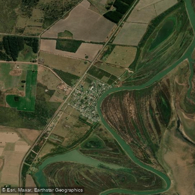
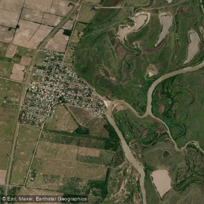
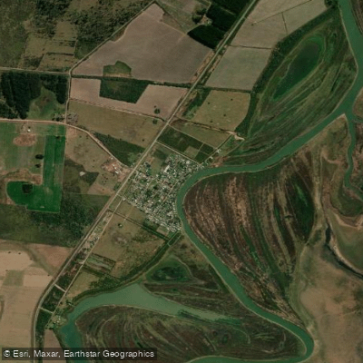
Learn how to get on Río San Javier. Uncover great paddling access points, boat ramps, and all the facilities you need for an unforgettable day on the water. Some locations shown may border or include private property. Always check property boundaries and applicable regulations before visiting. PaddleWays's Public & Private Land layer can help you plan your access with confidence.
Paddle smarter with real-time insights
Whether you're en route and conditions shift or you're looking for the best spot based on current flows, we enable you to make informed decisions on the fly.







Santa Fe licenses and regulations

Find Places to Paddle

Over 400,000 Places to Paddle
Every user gets free access to launch points, boat ramps, and public property parcels.


Water and weather conditions (10 day forecast)
See the best times to paddle Río San Javier and check the forecast before you go.
San Javier - Romang
Paddling near Río San Javier

Río Paraná
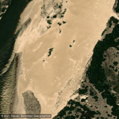
Río Corrientes
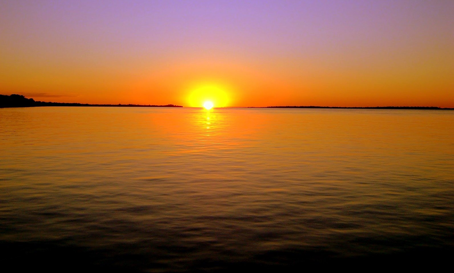
Río Paraná
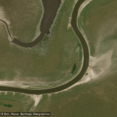
Arroyo Saladillo Dulce
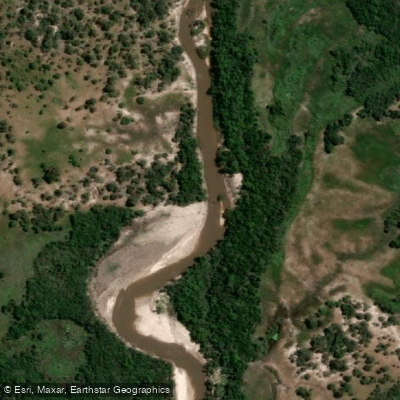
Río Guayquiraró
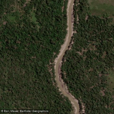
Arroyo Barrancas
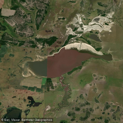
Laguna del Cristal
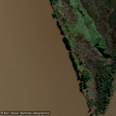
Riacho Espinillo
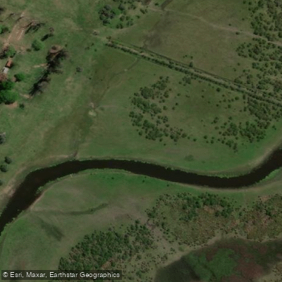
Arroyo Sarandí
Explore Santa Fe waters
Top paddling waters
No waters available right now.
Popular Cities
Loading popular cities...
Explore near Río San Javier

Smarter Paddling Starts in the App.
Paddleways gives you everything you need to plan smarter, paddle better, and own every trip from first launch to takeout.