Río Guayquiraró
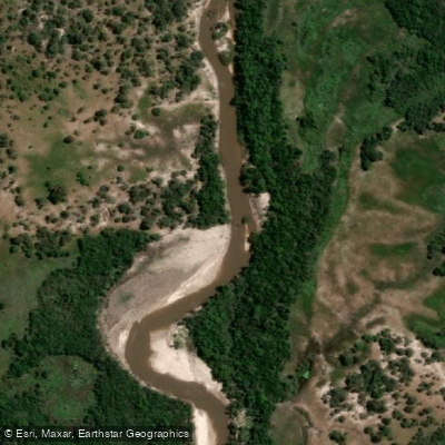
Río Guayquiraró
- Boat Ramps
- 0
- Access Points
- 0
- Campsites
- 0
The Río Guayquiraró runs approximately 158 kilometers in a northeast-to-southwest direction, forming the interprovincial boundary between Entre Ríos and Corrientes in northeastern Argentina. It originates at the confluence of the arroyos Vertiente and Espinillo in the foothills of the cuchilla Grande, and empties into the riacho Espinillo, the eastern arm of the Paraná River that encircles the isla Curuzú Chalí. The river's drainage basin covers roughly 9,700 square kilometers, and its mean annual flow is approximately 43 cubic meters per second.
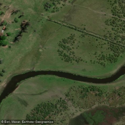
The river is navigable along portions of its course, but paddlers should be aware of a significant and persistent hazard: the channel contains snags from trees that have been swept in and deposited along the route. These obstacles require careful navigation and attentiveness throughout any trip. The banks are lined with gallery forest, which provides shade and a degree of natural enclosure along the waterway.
Flooding is a known seasonal occurrence during periods of heavy rainfall, and paddlers planning trips should account for elevated water levels and faster currents during the rainy season, which can also affect access to the riverbanks.
One established access point for paddlers is the Complejo Guayquiraró, a tourist facility located on Ruta Nacional 12 at kilometer 646, which offers a boat launch ramp, camping areas, and cabin accommodations directly on the river. This makes it a practical base for day trips or overnight stays.
The sector of the Río Guayquiraró within Departamento La Paz (Entre Ríos) has been officially designated a sport fishing reserve under provincial Resolution 4829 SPG of October 13, 2005, covering all aquatic environments in that department including this river. Paddlers should be aware of this designation, as it may carry specific regulations for the area. Part of the river's course and its margins also fall within a provincial nature reserve of the same name.
Water access, boat ramps & amenities
Learn how to get on Río Guayquiraró. Uncover great paddling access points, boat ramps, and all the facilities you need for an unforgettable day on the water. Some locations shown may border or include private property. Always check property boundaries and applicable regulations before visiting. PaddleWays's Public & Private Land layer can help you plan your access with confidence.
Paddle smarter with real-time insights
Whether you're en route and conditions shift or you're looking for the best spot based on current flows, we enable you to make informed decisions on the fly.







Corrientes licenses and regulations

Find Places to Paddle

Over 400,000 Places to Paddle
Every user gets free access to launch points, boat ramps, and public property parcels.


Water and weather conditions (10 day forecast)
See the best times to paddle Río Guayquiraró and check the forecast before you go.
Guayquiraró - La Grela
Paddling near Río Guayquiraró

Río Paraná
Río Corrientes
Río Paraná
Río San Javier
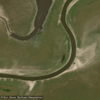
Arroyo Saladillo Dulce
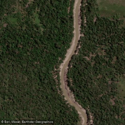
Arroyo Barrancas
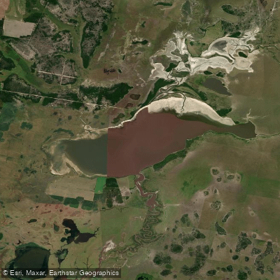
Laguna del Cristal
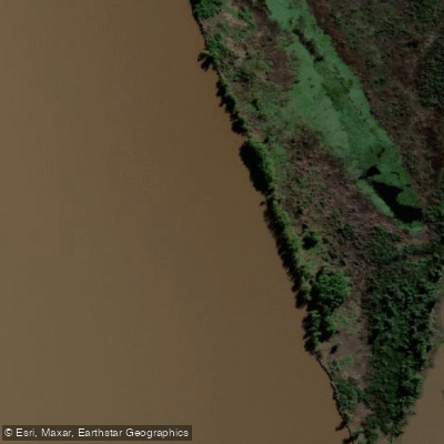
Riacho Espinillo
Arroyo Sarandí
Explore Corrientes waters
Top paddling waters
No waters available right now.
Popular Cities
Loading popular cities...
Explore near Río Guayquiraró

Smarter Paddling Starts in the App.
Paddleways gives you everything you need to plan smarter, paddle better, and own every trip from first launch to takeout.