Dique El Cajón
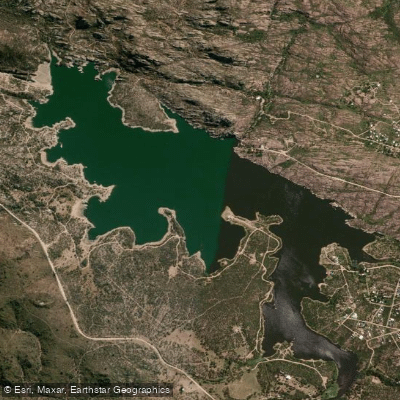
Dique El Cajón
- Boat Ramps
- 0
- Access Points
- 0
- Campsites
- 3
Dique El Cajón, officially known as Embalse Heralio Argañaraz, is a reservoir situated in the Valle de Punilla in the Sierras de Córdoba, approximately 1 kilometer from the center of Capilla del Monte, at an elevation of 910 meters above sea level. It sits along Ruta Nacional 38, between Capilla del Monte and San Marcos Sierras in the northern part of the Departamento Punilla. The dam impounds the Río Dolores within a natural canyon from which the reservoir takes its name — "El Cajón del Río." The dam wall is 39 meters tall with a crest length of 67 meters, and the reservoir covers a surface area of 1.45 to 1.8 square kilometers with a water volume ranging from 8 to 12 cubic hectometers. The surrounding landscape features prominent pink granite formations and mountain terrain.
Motorized navigation is not permitted on the reservoir. Permitted water activities include kayaking, sailing, windsurfing, and canoeing, making it a calm, non-motorized paddling environment. The water depth ranges from approximately 5 meters near the shore to 30 meters at the center of the reservoir, which is relevant for paddlers assessing conditions and safety margins.
The dam wall can be walked across on foot, and the Camino del Perilago follows the shoreline. Facilities in the area include Playa Grande, the Balneario Águila Blanca, and a fishing club. The eastern shore features a historic structure known locally as the "tapera" associated with Argentine actor Enrique Muiño. The reservoir is also used for fishing, primarily pejerrey and carpa, so paddlers should expect fishing boats and anglers sharing the water.
The reservoir is visible from the summit of Cerro Uritorco, one of the notable landmarks in the area. Other nearby points of interest include El Zapato, Los Terrones, La Toma, and El Paso del Indio. The dam was constructed between 1987 and 1993 and serves multiple purposes: drinking water supply, irrigation for San Marcos Sierras, flood regulation of the Río Dolores, and recreation.
Water access, boat ramps & amenities
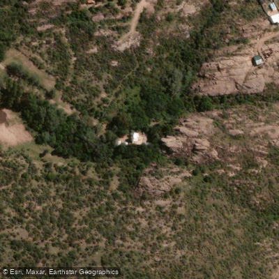
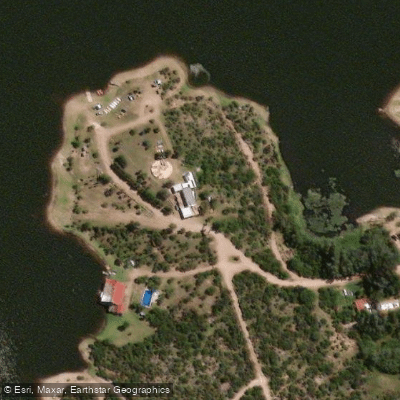
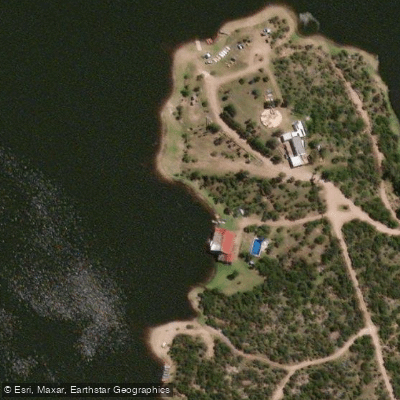
Learn how to get on Dique El Cajón. Uncover great paddling access points, boat ramps, and all the facilities you need for an unforgettable day on the water. Some locations shown may border or include private property. Always check property boundaries and applicable regulations before visiting. PaddleWays's Public & Private Land layer can help you plan your access with confidence.
Paddle smarter with real-time insights
Whether you're en route and conditions shift or you're looking for the best spot based on current flows, we enable you to make informed decisions on the fly.







Córdoba licenses and regulations

Find Places to Paddle

Over 400,000 Places to Paddle
Every user gets free access to launch points, boat ramps, and public property parcels.


Water and weather conditions (10 day forecast)
See the best times to paddle Dique El Cajón and check the forecast before you go.
No forecast data available.
Paddling near Dique El Cajón
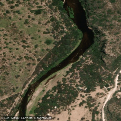
Río Quilipo
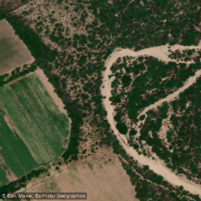
Río Cruz del Eje
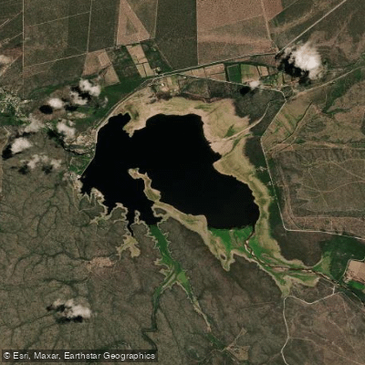
Embalse de Cruz del Eje
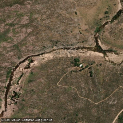
Río Yuspe
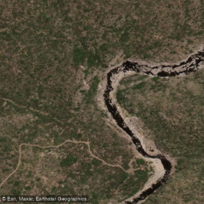
Río Pintos
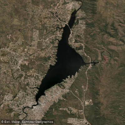
Embalse San Roque
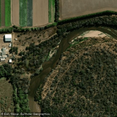
Río Primero (Suquía)
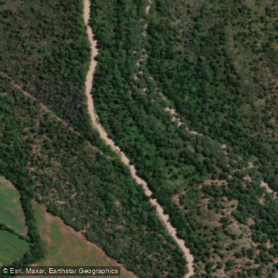
Río Pichanas
Arroyo Ciénaga del Coro
Arroyo Áspero
Explore Córdoba waters
Top paddling waters
No waters available right now.
Popular Cities
Loading popular cities...
Explore near Dique El Cajón

Smarter Paddling Starts in the App.
Paddleways gives you everything you need to plan smarter, paddle better, and own every trip from first launch to takeout.