Río Quines
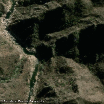
Río Quines
- Boat Ramps
- 0
- Access Points
- 0
- Campsites
- 1
The Río Quines flows through the town of Quines in the northern part of San Luis province, approximately 150 kilometers from the provincial capital. It is considered the most significant river on the western slopes of the Sierras de San Luis, running in a south-to-north direction. Its principal tributaries are the Río Grande, Las Chacras, and Lagunas Largas. The river divides the town of Quines into eastern and western sections before eventually dispersing into the lowland fields near Candelaria, roughly 20 kilometers downstream.
There are three main access points along the river. Balneario El Muro is located within Quines itself, about 5 minutes from the town center via Ruta 20, with approximately 3 kilometers of gravel road to the entrance. This site offers camping, barbecue areas, restrooms, a small store, and parking, and access is free. Balneario Piedra Baya lies downstream from El Muro, past the old Dique Callaba — the province's first major irrigation works. At Piedra Baya, the river reaches a depth of around 3 meters and a width of 4 meters, though the area around the desarenador (sand trap) is notably rocky and does not form deep pools. The third access point is Dique La Huertita, about 11 kilometers from San Martín; beyond the end of the road, the site requires a 30-minute approach on foot or horseback and is noted for trout fishing upstream.
The river carries substantial volume and has a deep channel during the rainy season. The pools (hoyas) near El Muro are relatively deep, with clear water that is warm during summer. Crossing the muro structure to reach these deeper pools requires caution, as the surface can be slippery when water levels are higher. The river corridor includes sandy beaches suitable for day use, and a trekking route follows the riverbank from El Muro toward a feature known as Laguna Escondida.
At La Huertita, the river is dammed and supplies water to San Martín, with its flows also used for irrigation across the Quines area. Paddlers should be aware of this infrastructure and the associated flow management when planning trips on the upper sections of the river.
Water access, boat ramps & amenities
Learn how to get on Río Quines. Uncover great paddling access points, boat ramps, and all the facilities you need for an unforgettable day on the water. Some locations shown may border or include private property. Always check property boundaries and applicable regulations before visiting. PaddleWays's Public & Private Land layer can help you plan your access with confidence.
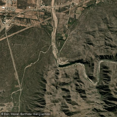
Paddle smarter with real-time insights
Whether you're en route and conditions shift or you're looking for the best spot based on current flows, we enable you to make informed decisions on the fly.







San Luis licenses and regulations

Find Places to Paddle

Over 400,000 Places to Paddle
Every user gets free access to launch points, boat ramps, and public property parcels.


Water and weather conditions (10 day forecast)
See the best times to paddle Río Quines and check the forecast before you go.
No forecast data available.
Paddling near Río Quines
Río de Juan Gómez
Río Socoscora
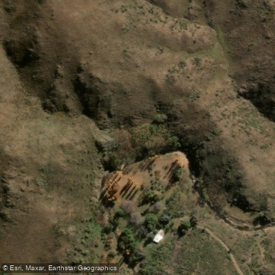
Arroyo de las Águilas
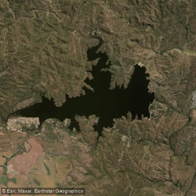
Embalse La Florida
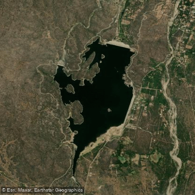
Embalse Las Palmeras
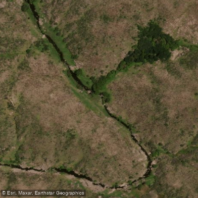
Río Rosario
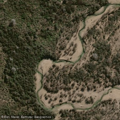
Río Conlara
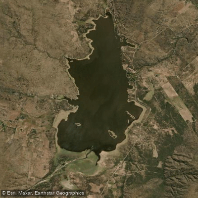
Embalse San Felipe
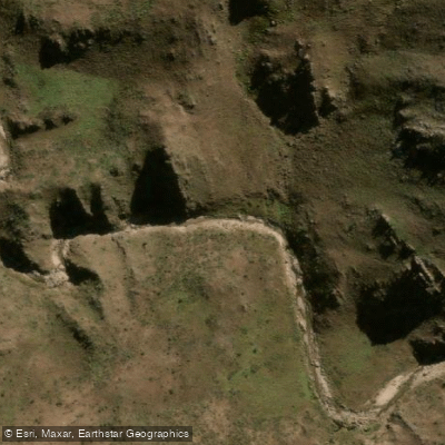
Río Virorco
Explore San Luis waters
Top paddling waters
No waters available right now.
Popular Cities
Loading popular cities...
Explore near Río Quines
Access points
Nearby waters
More in San Luis

Smarter Paddling Starts in the App.
Paddleways gives you everything you need to plan smarter, paddle better, and own every trip from first launch to takeout.