Río Panaholma
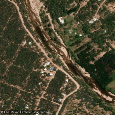
Río Panaholma
- Boat Ramps
- 0
- Access Points
- 0
- Campsites
- 16
The Río Panaholma is a freshwater river flowing through the Valle de Traslasierra in the province of Córdoba, Argentina. It is the widest and longest river in the valley, stretching approximately 36 kilometers with a mean discharge of around 2 cubic meters per second. The river originates in the Cumbres de Achala, formed by the confluence of the arroyos Laguna Verde and Los Hornillos, and descends from an elevation of roughly 1,200 meters at its source to about 900 meters at its mouth, where it joins the Río Mina Clavero to form the Río de los Sauces. The name "Panaholma" derives from Quechua and translates roughly as "river of quiet waters."
The river is characterized by generally low, calm water levels and a rocky bed in places. It is not navigable by motorized watercraft, but kayaking is practiced on the river, with kayak rentals available along the riverfront at Villa Cura Brochero. The shallow, gentle nature of the water makes it accessible for recreational paddlers, though there are sections where the river narrows between rocks, creating deeper pools (locally called "pozones") that can reach 3 to 4 meters in depth. These encajonado sections coexist with calmer, sandy stretches. The river has mesotermal, clear waters.
The main population centers along the river are the town of Panaholma and Villa Cura Brochero. At Villa Cura Brochero, the Balneario Los Cedros is a developed recreational area along the river's costanera, offering parking, restrooms, shade, grills, and food vendors. Additional balnearios along the river include Las Tablitas, the municipal balneario at Villa Cura Brochero, and Las Maravillas. Camping areas are available near the river, and the surrounding area supports birdwatching, horseback riding, and guided excursions.
Summer is the peak season for river activity, when the water is warmest and visitor numbers are highest. The river can rise significantly after sustained rainfall, which can affect access and swimming conditions. Fishing is also practiced on the river, with species including trout and dorado reported in the broader area.
Water access, boat ramps & amenities
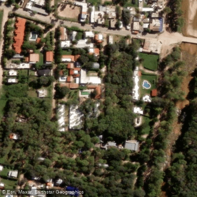
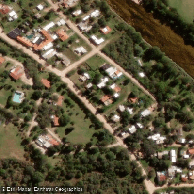
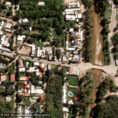
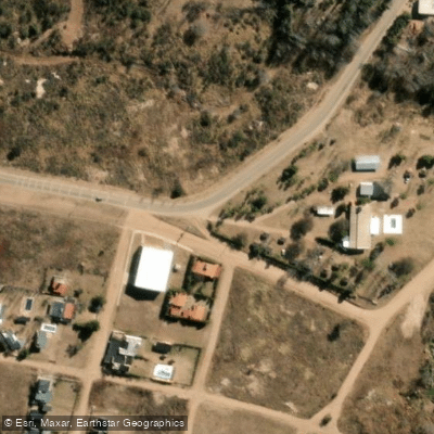
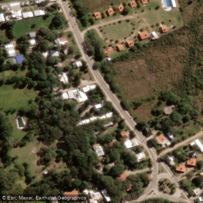
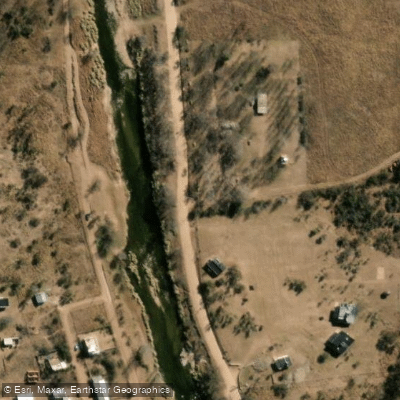
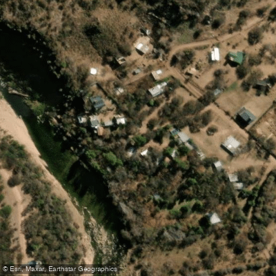
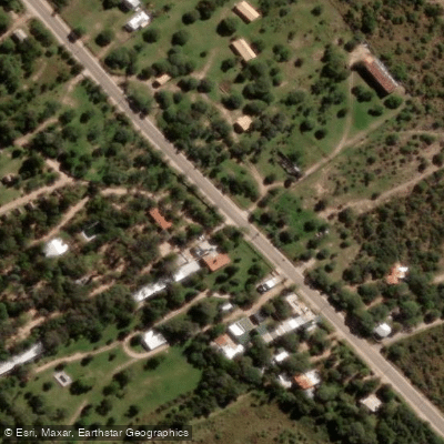
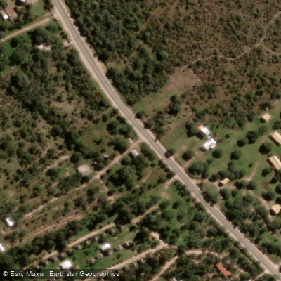
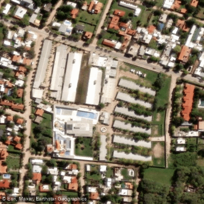
Learn how to get on Río Panaholma. Uncover great paddling access points, boat ramps, and all the facilities you need for an unforgettable day on the water. Some locations shown may border or include private property. Always check property boundaries and applicable regulations before visiting. PaddleWays's Public & Private Land layer can help you plan your access with confidence.
Paddle smarter with real-time insights
Whether you're en route and conditions shift or you're looking for the best spot based on current flows, we enable you to make informed decisions on the fly.







Córdoba licenses and regulations

Find Places to Paddle

Over 400,000 Places to Paddle
Every user gets free access to launch points, boat ramps, and public property parcels.


Water and weather conditions (10 day forecast)
See the best times to paddle Río Panaholma and check the forecast before you go.
No forecast data available.
Paddling near Río Panaholma
Río Anizacate
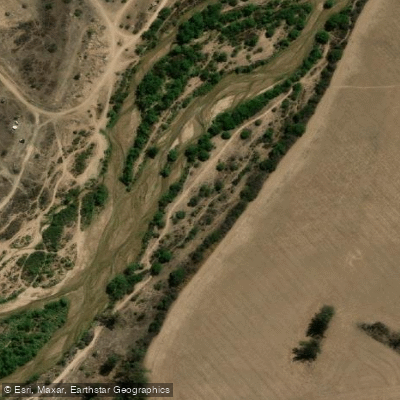
Río Segundo (Xanaes)
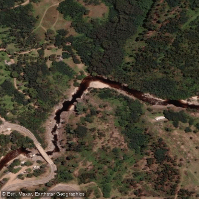
Río de los Reartes
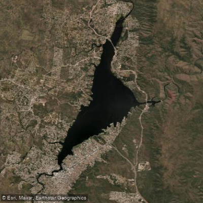
Embalse San Roque
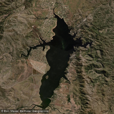
Embalse Los Molinos
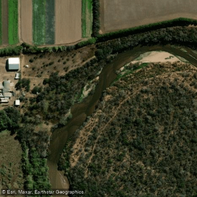
Río Primero (Suquía)
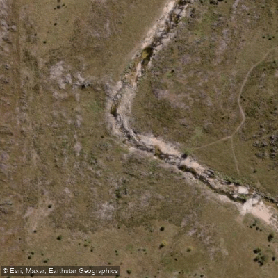
Río de la Suela
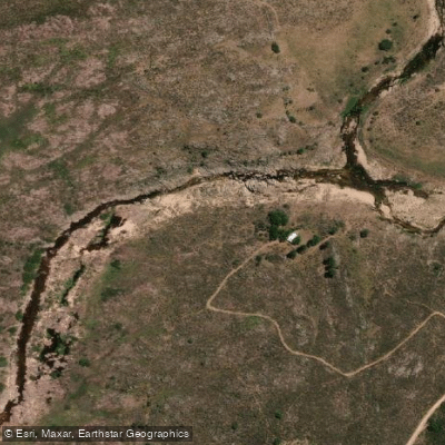
Río Yuspe
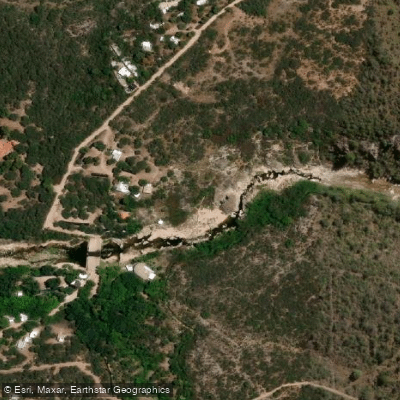
Río Chico de Nono
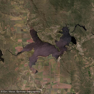
Embalse Ministro Juan Pistarini
Explore Córdoba waters
Top paddling waters
No waters available right now.
Popular Cities
Loading popular cities...
Explore near Río Panaholma
Access points
Nearby waters
More in Córdoba

Smarter Paddling Starts in the App.
Paddleways gives you everything you need to plan smarter, paddle better, and own every trip from first launch to takeout.