Arroyo Yuquerí Grande
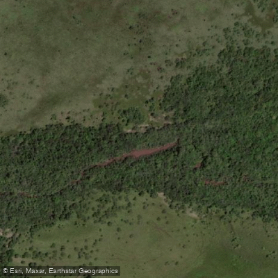
Arroyo Yuquerí Grande
- Boat Ramps
- 0
- Access Points
- 0
- Campsites
- 0
Arroyo Yuquerí Grande is a 54.03 km watercourse in the Departamento Concordia, Entre Ríos Province, part of the río Uruguay drainage basin. It originates at approximately 56 meters elevation in the Cuchilla Grande hills, where two smaller streams converge, and flows in a generally southeast direction before emptying into the río Uruguay near the southern edge of the city of Concordia, at the site of that city's former port.
The arroyo's character changes noticeably along its length. In the upper reaches, the water is clear and cool, with sandy banks, exposed rock, and dense riparian forest. Pindó palms rise above the forest canopy in these sections, and the corridor retains a largely undisturbed natural character. The principal tributaries — arroyo Chajarí (21.54 km), arroyo Carpinchorí (19.05 km), and arroyo La Báez (16.31 km) — join along the middle and lower course, along with several smaller streams including arroyos Concordia, Cambá Paso, and Portero.
The lower section of the arroyo passes through the urban fringe of Concordia, where it separates several peripheral neighborhoods from the city proper. Water quality in this lower stretch has been a concern, with ongoing institutional monitoring and recovery projects underway. Ruta Nacional 14 crosses the arroyo, providing a potential reference point for access. The name Yuquerí derives from Guaraní and refers to a plant of the mimosa genus whose fruit resembles blackberry.
Paddlers considering this waterway should be aware of the contrast between the relatively pristine upper sections and the degraded water quality in the lower urban reach near Concordia.
Water access, boat ramps & amenities
Learn how to get on Arroyo Yuquerí Grande. Uncover great paddling access points, boat ramps, and all the facilities you need for an unforgettable day on the water. Some locations shown may border or include private property. Always check property boundaries and applicable regulations before visiting. PaddleWays's Public & Private Land layer can help you plan your access with confidence.
Paddle smarter with real-time insights
Whether you're en route and conditions shift or you're looking for the best spot based on current flows, we enable you to make informed decisions on the fly.







Entre Ríos licenses and regulations

Find Places to Paddle

Over 400,000 Places to Paddle
Every user gets free access to launch points, boat ramps, and public property parcels.


Water and weather conditions (10 day forecast)
See the best times to paddle Arroyo Yuquerí Grande and check the forecast before you go.
No forecast data available.
Paddling near Arroyo Yuquerí Grande

Río Uruguay
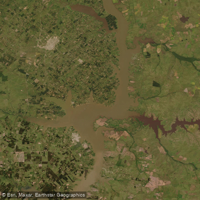
Lago Salto Grande
Arroyo Ayuí Grande
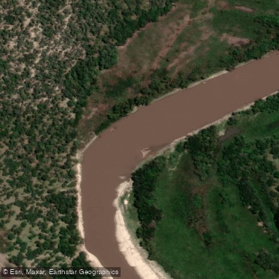
Río Gualeguay
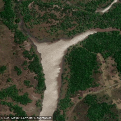
Río Gualeguaychú
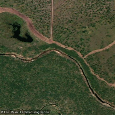
Arroyo Gualeguaycito o San Pascual
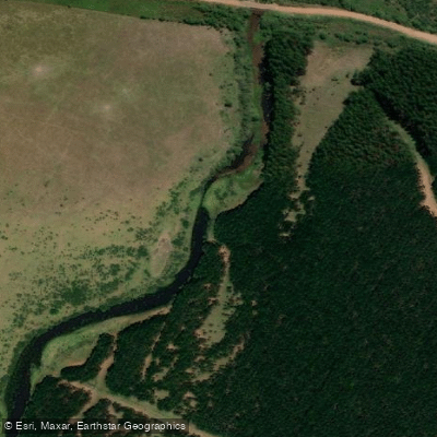
Arroyo Sarandí o Benítez
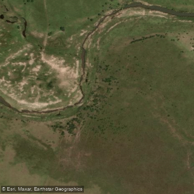
Arroyo Mandisoví Chico
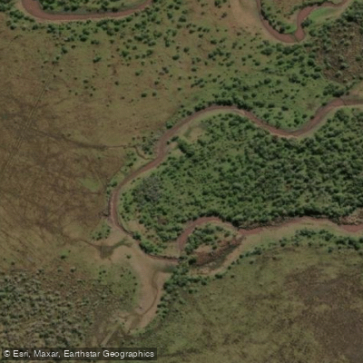
Arroyo Caraballo
Explore Entre Ríos waters
Top paddling waters
No waters available right now.
Popular Cities
Loading popular cities...
Explore near Arroyo Yuquerí Grande

Smarter Paddling Starts in the App.
Paddleways gives you everything you need to plan smarter, paddle better, and own every trip from first launch to takeout.