Río Gualeguaychú
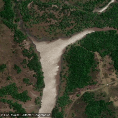
Río Gualeguaychú
- Boat Ramps
- 1
- Access Points
- 0
- Campsites
- 9
The Río Gualeguaychú flows through Entre Ríos Province in northeastern Argentina, originating in the center-east of the province within the Colón Department and running southward until it empties into the Uruguay River near the city of Gualeguaychú. Its drainage basin covers approximately 6,693 square kilometres.
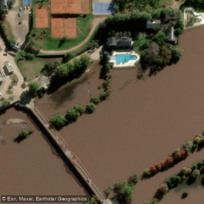
The river passes directly through the city of Gualeguaychú, where a costanera (riverside promenade) runs along the bank and provides easy access to the water. Kayaking is an established activity on the river, with local operators offering guided kayak tours as well as motorboat excursions. The Balneario Norte, situated on the riverbank, offers boat rental options and serves as one practical access point for those looking to get on the water. The river also borders several balnearios (beach resorts) where sandy beaches slope gently to the water's edge.
The city of Gualeguaychú is best known for its carnival, held on Saturdays during January and February, which draws large numbers of visitors and significantly increases activity along the waterfront during that period. Paddlers planning trips during carnival season should anticipate elevated boat traffic and crowded riverside facilities. Outside of that window, the waterfront area is considerably quieter.
Given the river's location in the subtropical Mesopotamia region of Argentina, summer months (December through February) bring warm conditions, while winter (June through August) is mild. The river's character near the city is relatively calm and accessible, making it suitable for recreational paddling.
Water access, boat ramps & amenities
Learn how to get on Río Gualeguaychú. Uncover great paddling access points, boat ramps, and all the facilities you need for an unforgettable day on the water. Some locations shown may border or include private property. Always check property boundaries and applicable regulations before visiting. PaddleWays's Public & Private Land layer can help you plan your access with confidence.
Paddle smarter with real-time insights
Whether you're en route and conditions shift or you're looking for the best spot based on current flows, we enable you to make informed decisions on the fly.







Entre Ríos licenses and regulations

Find Places to Paddle

Over 400,000 Places to Paddle
Every user gets free access to launch points, boat ramps, and public property parcels.


Water and weather conditions (10 day forecast)
See the best times to paddle Río Gualeguaychú and check the forecast before you go.
Gualeguaychú
All Flow Stations
Paddling near Río Gualeguaychú

Río Uruguay
Banco Pelay
Arroyo El Tala
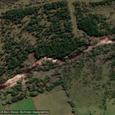
Arroyo Perucho Verna
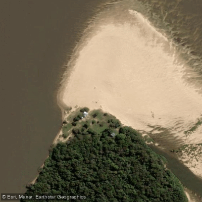
Punta Cambacuá
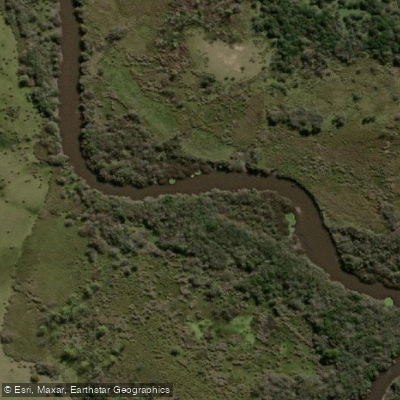
Arroyo Osuna
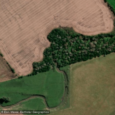
Arroyo Los Bayos
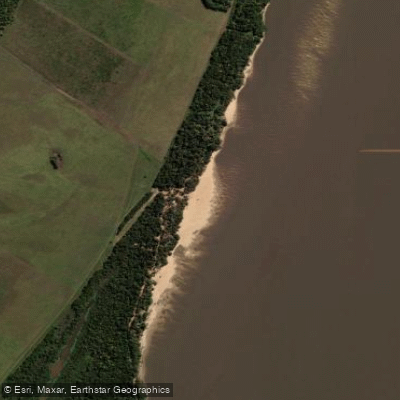
Paso Vera
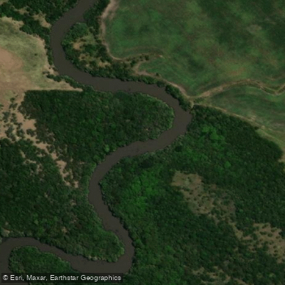
Arroyo Venerato
Explore Entre Ríos waters
Top paddling waters
No waters available right now.
Popular Cities
Loading popular cities...
Explore near Río Gualeguaychú
Access points
Nearby waters
More in Entre Ríos

Smarter Paddling Starts in the App.
Paddleways gives you everything you need to plan smarter, paddle better, and own every trip from first launch to takeout.