Punta Cambacuá
- Saltwater
- Beach
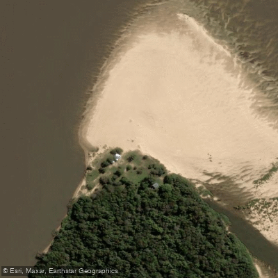
Punta Cambacuá
- Saltwater
- Beach
- Sq. miles
- 0.1
- Boat Ramps
- 0
- Access Points
- 0
- Campsites
- 0
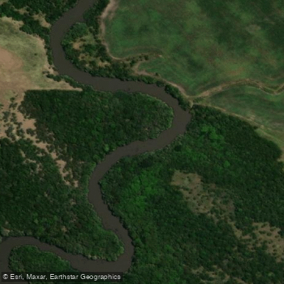
Punta Cambacuá is a point or area within a complex riverine network in Distrito Tala, Argentina. It serves as a key navigational point for paddlers exploring the interconnected waterways of the region. The area is characterized by its location at the confluence of several channels. Paddlers commonly use Punta Cambacuá as a waypoint on routes that travel from the Río Uruguay into the Riacho Itape, then proceed to Punta Cambacuá itself. From there, a secondary canal connects the areas of Cambacuá, Del Puerto, and Del Tala, allowing for continued exploration before returning via the Riacho Itape. This network suggests a paddling environment suited for multi-hour or full-day trips through calm, inland channels rather than open water, ideal for kayaks and canoes. The overall character is that of a river exploration route, with paddlers navigating between distinct local districts via natural and possibly man-made canals. The routes are popular enough to be featured by local clubs for organized paddling excursions on weekends, indicating some level of established use.
Water access, boat ramps & amenities
Learn how to get on Punta Cambacuá. Uncover great paddling access points, boat ramps, and all the facilities you need for an unforgettable day on the water. Some locations shown may border or include private property. Always check property boundaries and applicable regulations before visiting. PaddleWays's Public & Private Land layer can help you plan your access with confidence.
Paddle smarter with real-time insights
Whether you're en route and conditions shift or you're looking for the best spot based on current flows, we enable you to make informed decisions on the fly.







Entre Ríos licenses and regulations

Find Places to Paddle

Over 400,000 Places to Paddle
Every user gets free access to launch points, boat ramps, and public property parcels.


Tides, wind & water conditions (10 day forecast)
On open water, wind and tide matter as much as the weather. See the best times to paddle Punta Cambacuá and check the marine forecast before you launch.
Loading tide predictions…
Paddling near Punta Cambacuá

Río Uruguay
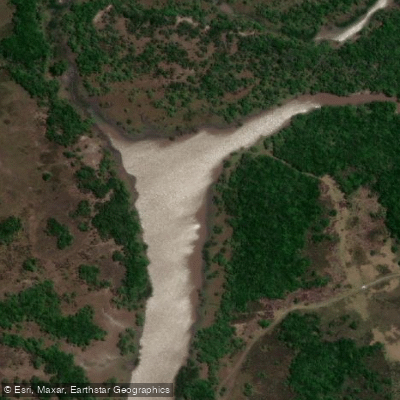
Río Gualeguaychú
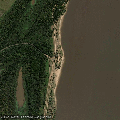
Banco Pelay
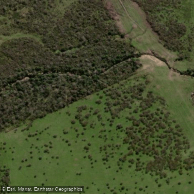
Arroyo El Tala
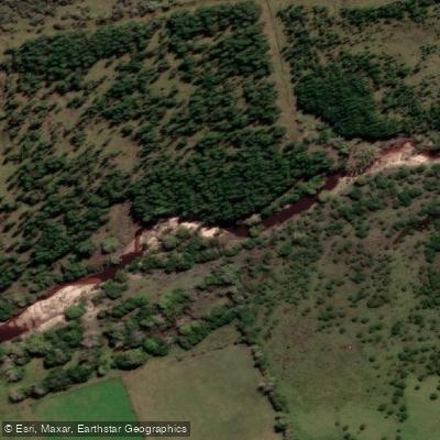
Arroyo Perucho Verna
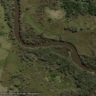
Arroyo Osuna
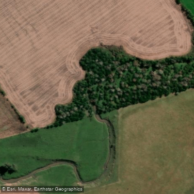
Arroyo Los Bayos
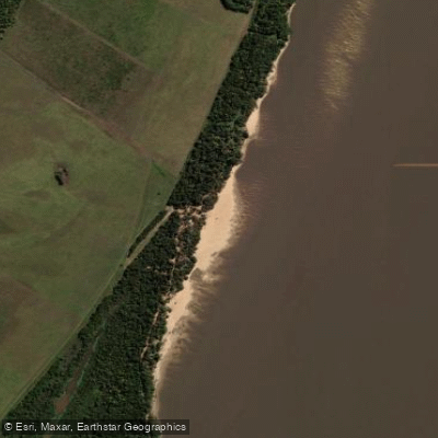
Paso Vera
Arroyo Venerato
Explore Entre Ríos waters
Top paddling waters
No waters available right now.
Popular Cities
Loading popular cities...
Explore near Punta Cambacuá

Smarter Paddling Starts in the App.
Paddleways gives you everything you need to plan smarter, paddle better, and own every trip from first launch to takeout.