Río Pilcomayo
Río Pilcomayo
- Boat Ramps
- 0
- Access Points
- 0
- Campsites
- 0
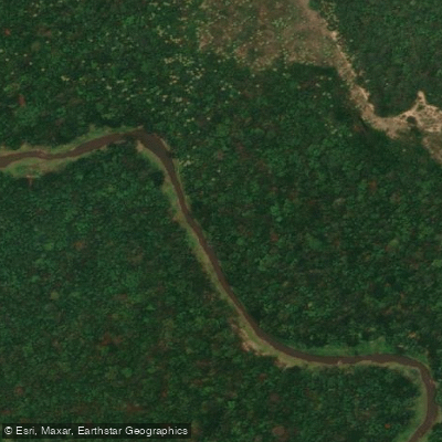
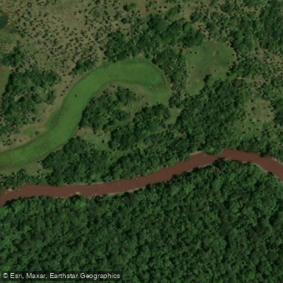
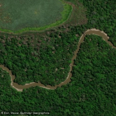
The Río Pilcomayo flows through the northeastern corner of Formosa province, forming part of the border between Argentina and Paraguay before joining the Paraguay River near Asunción. The river passes through and defines the Parque Nacional Río Pilcomayo, a 51,889-hectare protected area established in 1951 and listed as a Ramsar Wetland of International Importance. The park preserves a representative section of the eastern Gran Chaco district, characterized by a broad floodplain of marshes, lagoons, palm savannas, gallery forests, and forested islets — the dominant landscape paddlers will encounter in this region.
Canoeing is an established activity within the park, particularly on Laguna Blanca, a 700-hectare lagoon that serves as the primary paddling destination. Piraguas, kayaks, and rabaska-style canoes are available for use there, accommodating solo paddlers and groups. The Estero Poí area is another recreational zone within the park. Paddlers bringing their own non-motorized craft onto Laguna Blanca are required to disinfect their vessels with a 10% sodium hypochlorite solution before launching, a regulation designed to prevent the introduction of invasive species — particularly the golden mussel (Limnoperna fortunei) — from the Río Paraguay system.
The park's two recreational areas, Laguna Blanca and Estero Poí, are open daily from 7:00 AM to 7:00 PM. Access to Estero Poí is restricted for 72 hours following heavy rainfall due to road conditions becoming impassable. Entry to the park is free. The park headquarters is located at the intersection of Pueyrredón and Ruta Nacional 86 in Laguna Blanca, reachable by phone at +54 3718 470045. The park sits approximately 120–130 kilometers from Formosa city via Ruta Provincial 2.
The climate is subtropical humid with a defined dry season. Wildlife in the surrounding area is exceptionally diverse, with over 324 bird species, 85 mammal species, 42 reptile species, more than 30 amphibian species, and over 40 fish species recorded — including sábalo (Prochilodus lineatus), a common target for anglers in the river system.
Water access, boat ramps & amenities
Learn how to get on Río Pilcomayo. Uncover great paddling access points, boat ramps, and all the facilities you need for an unforgettable day on the water. Some locations shown may border or include private property. Always check property boundaries and applicable regulations before visiting. PaddleWays's Public & Private Land layer can help you plan your access with confidence.
Paddle smarter with real-time insights
Whether you're en route and conditions shift or you're looking for the best spot based on current flows, we enable you to make informed decisions on the fly.







Formosa licenses and regulations

Find Places to Paddle

Over 400,000 Places to Paddle
Every user gets free access to launch points, boat ramps, and public property parcels.


Water and weather conditions (10 day forecast)
See the best times to paddle Río Pilcomayo and check the forecast before you go.
No forecast data available.
Explore Formosa waters
Top paddling waters
No waters available right now.
Popular Cities
Loading popular cities...
Explore near Río Pilcomayo

Smarter Paddling Starts in the App.
Paddleways gives you everything you need to plan smarter, paddle better, and own every trip from first launch to takeout.