Riacho Porteño
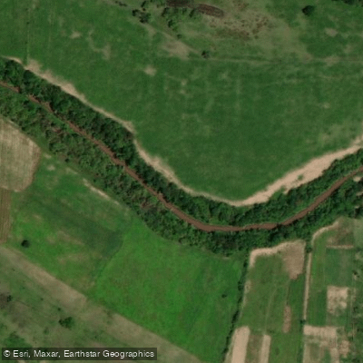
Riacho Porteño
- Boat Ramps
- 0
- Access Points
- 0
- Campsites
- 0
Riacho Porteño is a permanent watercourse in Formosa province, Argentina, flowing west to east across more than 300 kilometers through the departments of Patiño, Pilaga, and Pilcomayo. It originates from waters fed by Laguna Salada, which collect at a dike structure near Estanislao del Campo before the channel proper begins. From there it runs roughly parallel to Ruta Nacional N° 86, passing through old paleochannels, interconnected lagoons, and wetlands before joining the lower Río Pilcomayo. The riacho flows over the alluvial fan of the Río Pilcomayo, specifically across the ancient Estero Patiño, and is fed downstream by the Bañado La Estrella below Ruta Provincial N° 28.
Paddling on Riacho Porteño takes place in at least two distinct sections. One stretch runs near the city of Clorinda, where organized canoe trips of two days have been offered, with paddlers putting in near Clorinda and finishing in the city itself. A second area of kayak activity occurs near the locality of Siete Palmas. The western reaches near Estanislao del Campo, around the dike where the riacho originates, have also attracted visiting anglers and paddlers drawn to the relatively undisturbed character of that zone.
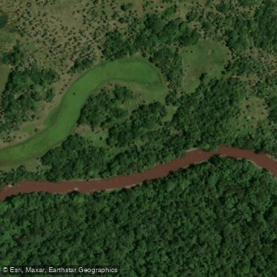
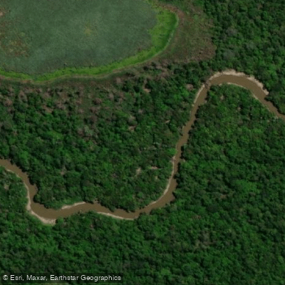
The corridor passes through dense gallery forest typical of the Chaco region, and wildlife encountered on the water includes yacarés (caimans), carayá monkeys, coatis, and a wide variety of bird species. The landscape is characterized by thick riparian vegetation and an overall sense of low human impact, particularly in the western sections.
Water quality along the riacho varies with local rainfall, which periodically dilutes the water. INTA researchers have analyzed parameters including conductivity, dissolved solids, carbonates, sulfates, chlorides, and arsenic at multiple sampling points. Conductivity and dissolved mineral content can vary significantly depending on rainfall patterns. Paddlers should be aware that arsenic has been flagged as a parameter of concern in scientific assessment.
Formosa's tourism ministry has identified Riacho Porteño as a resource with tourism development potential, and the locality of Laguna Naineck, situated along the riacho's course, has been noted in connection with hydraulic infrastructure works in the area.
Water access, boat ramps & amenities
Learn how to get on Riacho Porteño. Uncover great paddling access points, boat ramps, and all the facilities you need for an unforgettable day on the water. Some locations shown may border or include private property. Always check property boundaries and applicable regulations before visiting. PaddleWays's Public & Private Land layer can help you plan your access with confidence.
Paddle smarter with real-time insights
Whether you're en route and conditions shift or you're looking for the best spot based on current flows, we enable you to make informed decisions on the fly.







Formosa licenses and regulations

Find Places to Paddle

Over 400,000 Places to Paddle
Every user gets free access to launch points, boat ramps, and public property parcels.


Water and weather conditions (10 day forecast)
See the best times to paddle Riacho Porteño and check the forecast before you go.
No forecast data available.
Explore Formosa waters
Top paddling waters
No waters available right now.
Popular Cities
Loading popular cities...
Explore near Riacho Porteño

Smarter Paddling Starts in the App.
Paddleways gives you everything you need to plan smarter, paddle better, and own every trip from first launch to takeout.