Riacho Pilagá
Riacho Pilagá
- Boat Ramps
- 0
- Access Points
- 0
- Campsites
- 0
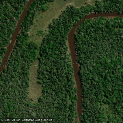
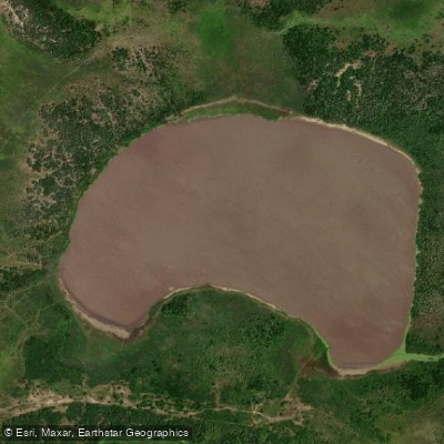
Riacho Pilagá is a meandering waterway in the province of Formosa, Argentina, stretching approximately 200–210 kilometers. It originates at Laguna Salada (also known as Laguna Pedrosa) at an elevation of around 130 meters and flows eastward to discharge into the Río Paraguay at roughly 57 meters above sea level, placing it within the broader Cuenca del Plata drainage system. The river is characterized by a mature, winding course with wide valleys, and its flow is fed primarily by rainfall rather than snowmelt or groundwater springs.
The lower reaches pass through the Estación de Animales Silvestres Guaycolec, where kayak excursions are offered along the riacho through gallery forest. The final stretch before the confluence with the Río Paraguay passes through the small settlement of Mojón de Fierro. At the mouth, where the riacho meets the Río Paraguay, there is a camping area equipped with a boat launch, potable water, electricity, restrooms, and mowed grounds. Cell phone coverage is absent at this location.
A documented multi-day paddling expedition covered roughly 67 kilometers in two days: approximately 35 kilometers from Mojón de Fierro downstream to the mouth at the Río Paraguay on the first day, and 32 kilometers upstream from the mouth to a point called Doña Lola on the second day. Paddlers should be aware that the riacho is not always navigable — drought conditions and blockages from floating vegetation mats (camalotes) can render sections impassable, so timing a trip requires checking current water levels in advance.
The corridor is lined with tall gallery forest, and wildlife along the route is abundant. Yacarés (caimans) inhabit the banks, howler monkeys occupy the canopy, and the area hosts roseate spoonbills, white and grey herons, jabiru storks, toucans, cormorants, and ducks, along with large numbers of butterflies. The road access via Ruta Provincial Nº 6 from Formosa city is poorly maintained, with broken pavement and no signage, so vehicle access to the lower river requires caution.
Water access, boat ramps & amenities
Learn how to get on Riacho Pilagá. Uncover great paddling access points, boat ramps, and all the facilities you need for an unforgettable day on the water. Some locations shown may border or include private property. Always check property boundaries and applicable regulations before visiting. PaddleWays's Public & Private Land layer can help you plan your access with confidence.
Paddle smarter with real-time insights
Whether you're en route and conditions shift or you're looking for the best spot based on current flows, we enable you to make informed decisions on the fly.







Formosa licenses and regulations

Find Places to Paddle

Over 400,000 Places to Paddle
Every user gets free access to launch points, boat ramps, and public property parcels.


Water and weather conditions (10 day forecast)
See the best times to paddle Riacho Pilagá and check the forecast before you go.
Aº Pilagá - RN Nº11
Explore Formosa waters
Top paddling waters
No waters available right now.
Popular Cities
Loading popular cities...
Explore near Riacho Pilagá
More in Formosa

Smarter Paddling Starts in the App.
Paddleways gives you everything you need to plan smarter, paddle better, and own every trip from first launch to takeout.