Río Tupungato
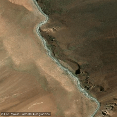
Río Tupungato
- Boat Ramps
- 0
- Access Points
- 0
- Campsites
- 1
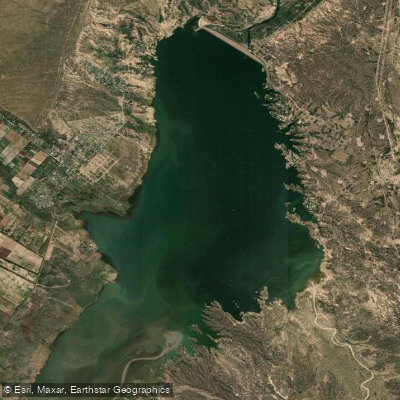
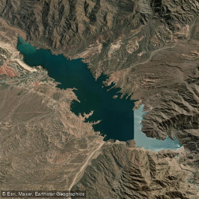
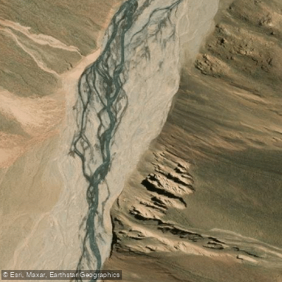
The Río Tupungato is located in the northwestern part of Mendoza province, flowing through the departments of Luján de Cuyo and Tupungato. It originates from the glaciers of Nevado El Plomo and Cerro Juncal, on the northern flanks of Volcán Tupungato, at an elevation of approximately 4,251 meters. From there it descends through a high mountain valley before emptying into the Río Mendoza. The river's drainage basin covers roughly 1,858 square kilometers.
The river's character changes significantly with the seasons. Between November and March, snowmelt substantially increases the flow, transforming the Tupungato into a river of rapids during this period. This makes the austral spring and summer months the most dynamic time for paddlers seeking whitewater, though the elevated flows also bring corresponding hazards typical of glacially fed mountain rivers. Outside of this window, flows are considerably lower.
Given its glacial origins and high-altitude headwaters, paddlers should be prepared for cold water temperatures, particularly during the early part of the melt season. The river's two principal tributaries are the Río Plomo and the Río Blanco, both of which contribute to the overall volume and character of the main channel.
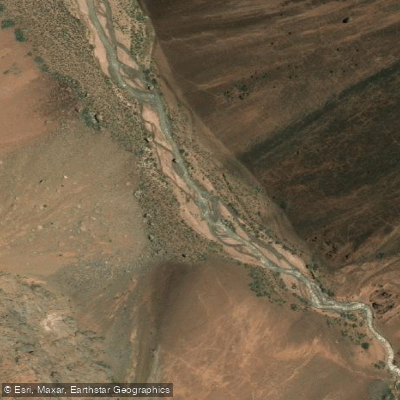
The setting is a high Andean mountain valley, with the river running through terrain shaped by glacial and volcanic geography. The proximity to Volcán Tupungato and the surrounding peaks defines the landscape through which the river travels.
Water access, boat ramps & amenities
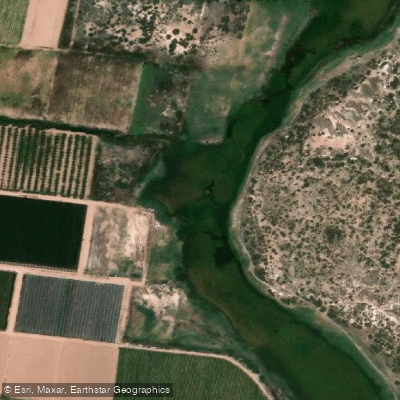
Learn how to get on Río Tupungato. Uncover great paddling access points, boat ramps, and all the facilities you need for an unforgettable day on the water. Some locations shown may border or include private property. Always check property boundaries and applicable regulations before visiting. PaddleWays's Public & Private Land layer can help you plan your access with confidence.
Paddle smarter with real-time insights
Whether you're en route and conditions shift or you're looking for the best spot based on current flows, we enable you to make informed decisions on the fly.







Mendoza licenses and regulations

Find Places to Paddle

Over 400,000 Places to Paddle
Every user gets free access to launch points, boat ramps, and public property parcels.


Water and weather conditions (10 day forecast)
See the best times to paddle Río Tupungato and check the forecast before you go.
No forecast data available.
Explore Mendoza waters
Top paddling waters
No waters available right now.
Popular Cities
Loading popular cities...
Explore near Río Tupungato
Access points
Nearby waters
More in Mendoza

Smarter Paddling Starts in the App.
Paddleways gives you everything you need to plan smarter, paddle better, and own every trip from first launch to takeout.