Embalse Arroyito
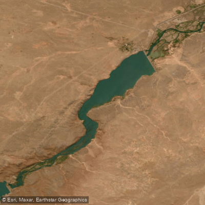
Embalse Arroyito
- Boat Ramps
- 0
- Access Points
- 0
- Campsites
- 1
Embalse Arroyito is a reservoir on the río Limay in the Comahue region, straddling the border of Neuquén and Río Negro provinces in northwestern Patagonia, Argentina. It sits at an elevation of approximately 315–316 meters above sea level, roughly 45 kilometers from the city of Neuquén, near the small town of Arroyito. The reservoir covers 38.6 square kilometers with a length of 3,500 meters, a total storage capacity of around 300–361 cubic hectometers, and an average depth of 7.7 meters, reaching a maximum of 15 meters. It is the fifth and lowest of five dams on the río Limay, functioning primarily as a flow regulator for the upstream El Chocón reservoir and as a hydroelectric facility with an installed capacity of roughly 120–128 MW.
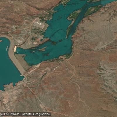
The dam itself is a homogeneous loose-material structure 26 meters high and 3,500 meters long, with a concrete hydroelectric plant integrated into its body. The spillway capacity is substantial, rated at over 2,500–3,750 cubic meters per second, reflecting the reservoir's role in managing potentially large flood events on the Limay.
The surroundings attract visitors for day outings, with a campsite situated on the banks of a creek shaded by willows and poplars. The area supports birdlife including black-necked swans and avutardas, making it of interest to wildlife observers. The landscape combines the engineering scale of the dam with the open Patagonian scenery typical of the Limay valley.
Fishing is regulated under the Patagonian continental sport fishing rules, which apply to both Neuquén and Río Negro. The current season runs from November 1, 2025, through October 31, 2026, with a daily limit of one rainbow trout, two perch (perca), and ten pejerrey. From May 2, 2026, all salmonids must be released, and barbless hooks are required. Pejerrey fishing is authorized through August 15, 2026, with approved equipment only. Paddlers should be aware that this is an active hydroelectric facility with regulated water releases, and the dam infrastructure and spillway operations represent significant safety considerations on the water.
Water access, boat ramps & amenities
Learn how to get on Embalse Arroyito. Uncover great paddling access points, boat ramps, and all the facilities you need for an unforgettable day on the water. Some locations shown may border or include private property. Always check property boundaries and applicable regulations before visiting. PaddleWays's Public & Private Land layer can help you plan your access with confidence.
Paddle smarter with real-time insights
Whether you're en route and conditions shift or you're looking for the best spot based on current flows, we enable you to make informed decisions on the fly.







Neuquén licenses and regulations

Find Places to Paddle

Over 400,000 Places to Paddle
Every user gets free access to launch points, boat ramps, and public property parcels.


Water and weather conditions (10 day forecast)
See the best times to paddle Embalse Arroyito and check the forecast before you go.
No forecast data available.
Paddling near Embalse Arroyito
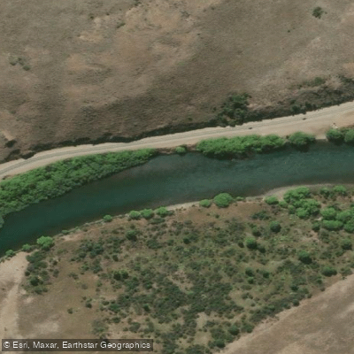
Río Limay
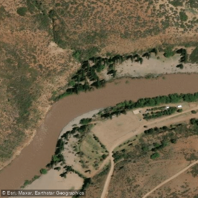
Río Neuquén
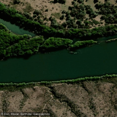
Río Negro
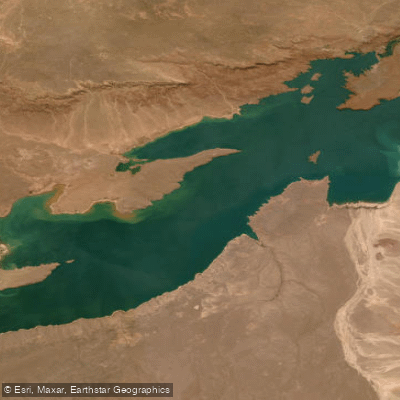
Embalse Ezequiel Ramos Mexía
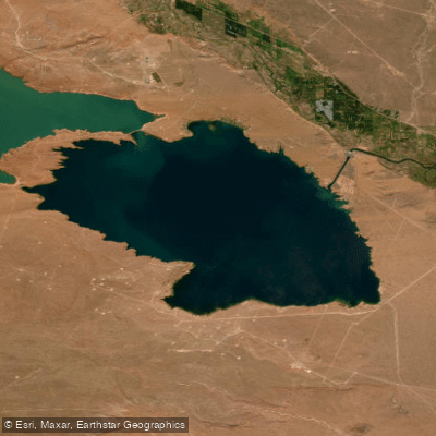
Lago Marí Menuco
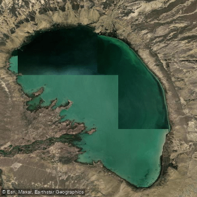
Lago Pellegrini
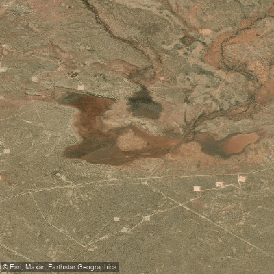
Laguna Colorada
Explore Neuquén waters
Top paddling waters
No waters available right now.
Popular Cities
Loading popular cities...
Explore near Embalse Arroyito
Access points
Nearby waters
More in Neuquén

Smarter Paddling Starts in the App.
Paddleways gives you everything you need to plan smarter, paddle better, and own every trip from first launch to takeout.