Echandi
- Saltwater
- Beach
- Coast
- Saltwater
- Beach
- Coast
- Boat Ramps
- 0
- Access Points
- 0
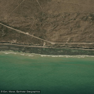
Bajada De Echandi is a beach located in La Ensenada, Río Negro, Argentina. The beach is characterized by its remote and unspoiled setting, featuring expansive sandy shores backed by high, dramatic cliffs that plunge into the sea. This creates a rugged coastal wilderness with a tranquil atmosphere and relatively low visitor traffic. The beach is known for its natural beauty and is a peaceful retreat from urban life. For paddlers launching from shore, the primary access point is this beach itself, a "bajada" or descent, implying a path down to the water. The area is part of the Atlantic coast within the Gulf of San Matías, and the coastline here is noted for its wide biodiversity, including species such as penguins, seals, whales, and elephant seals, which may be encountered from the water. The region experiences strong winds, which is a significant safety consideration for paddlers as it can create challenging conditions. The water is relatively warm compared to other Atlantic coast beaches in Argentina, though no specific seasonal temperature patterns are provided. The beach offers striking views and a unique landscape dominated by cliffs, making it attractive for photography and those seeking solitude. There are no facilities, amenities, or specific regulations for paddlers at this location. The overall character is one of a scenic, wild, and exposed coastal environment best suited for experienced paddlers prepared for wind and open water conditions.
Hazards
Hazards on Echandi
No hazards are marked on Echandi yet. That is not the same as none being there: if you find one, report it for the next paddler.
From the community
Echandi trip reports
Nobody has shared a trip on Echandi yet. Paddle it, then tell the next paddler how it went.
Tides, wind & water conditions (10 day forecast)
On open water, wind and tide matter as much as the weather. See the best times to paddle Echandi and check the marine forecast before you launch.
Loading tide predictions…
Paddle smarter with real-time insights
Live flows, marked hazards and fresh trip reports from paddlers who were just on the water, all in one place.







Find Places to Paddle

Over 400,000 Places to Paddle
Every user gets free access to launch points, boat ramps, and public property parcels.


Río Negro licenses and regulations

Paddling near Echandi
Río Negro
Laguna Gutiérrez
Banco Miguel
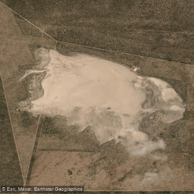
Laguna La Meseta
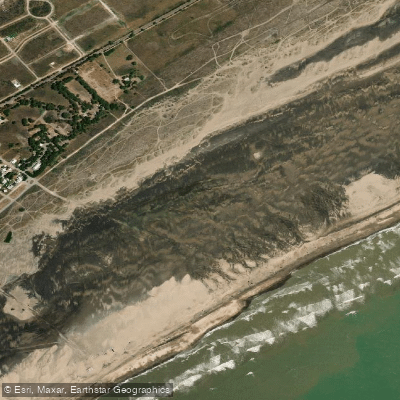
Playa Fernando Erica
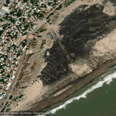
Playa Central
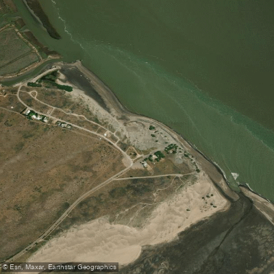
Playa El Pescadero
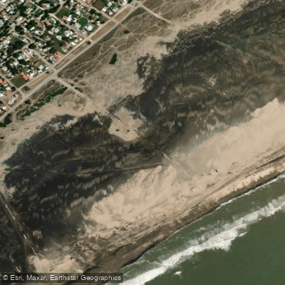
Playa Cailotto
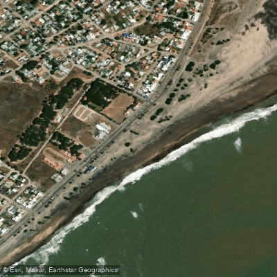
Playa Intermedia
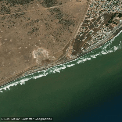
Playa El Faro
Explore Río Negro waters
Top paddling waters
No waters available right now.
Explore near Echandi

Smarter Paddling Starts in the App.
PaddleWays gives you everything you need to plan smarter, paddle better, and own every trip from first launch to takeout.