La Lobería
- Saltwater
- Beach
- Coast
- Saltwater
- Beach
- Coast
- Boat Ramps
- 0
- Access Points
- 0
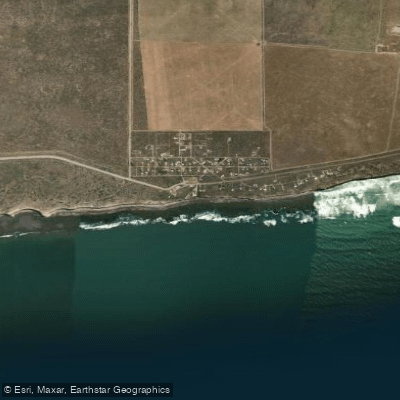
La Lobería is a beach located approximately 60 kilometers from Viedma in Río Negro, Argentina. The primary access to the beach is via concrete stairs built into the cliffs, which include an electrical lift to assist with carrying gear. The beach itself is a mix of sand and rolling stones, and it is protected from the strong Patagonian winds by high surrounding cliffs. This wind protection is a significant advantage for paddlers. The water temperature is noted to be warmer than the regional average due to the influence of the Brazilian Current in the San Matías Gulf. The beach's character changes dramatically with the tide. During low tide, extensive natural rocky pools are exposed, and the sea recedes, creating a long, gentle walk to the water's edge. At high tide, the sea covers these pools and reaches the shore, where waves break. Paddlers should be aware that the seabed near shore is rocky, requiring careful footing when launching or landing. The area is a known habitat for southern right whales and a colony of sea lions, which are often observed playing close to shore, especially during low tide. A notable paddle destination from the main beach is "El Anfiteatro," a large, amphitheater-shaped bay with a tiny inlet and slow-ramp sands, located to the right of the access stairs after passing the first row of cliffs. This area is best explored when the tide is low. The overall vibe is tranquil and remote, with an undeveloped, rugged coastline. Essential amenities are available in the nearby town, and lifeguards are present during the summer months.
Hazards
Hazards on La Lobería
No hazards are marked on La Lobería yet. That is not the same as none being there: if you find one, report it for the next paddler.
From the community
La Lobería trip reports
Nobody has shared a trip on La Lobería yet. Paddle it, then tell the next paddler how it went.
Tides, wind & water conditions (10 day forecast)
On open water, wind and tide matter as much as the weather. See the best times to paddle La Lobería and check the marine forecast before you launch.
Loading tide predictions…
Paddle smarter with real-time insights
Live flows, marked hazards and fresh trip reports from paddlers who were just on the water, all in one place.







Find Places to Paddle

Over 400,000 Places to Paddle
Every user gets free access to launch points, boat ramps, and public property parcels.


Río Negro licenses and regulations

Paddling near La Lobería
Río Negro
Laguna Gutiérrez
Banco Miguel
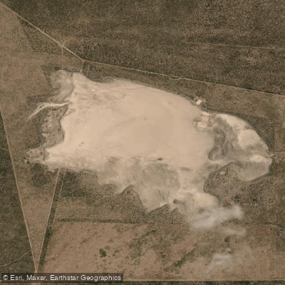
Laguna La Meseta
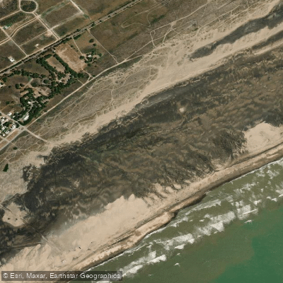
Playa Fernando Erica
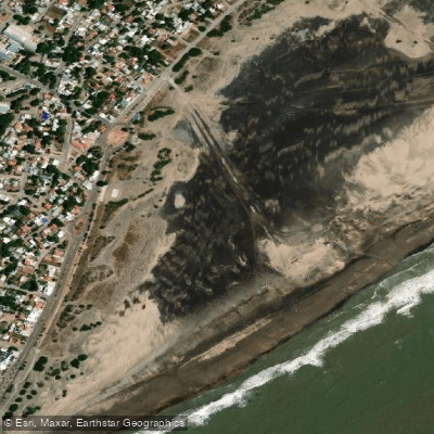
Playa Central
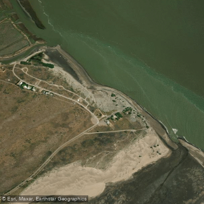
Playa El Pescadero
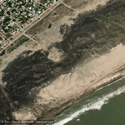
Playa Cailotto
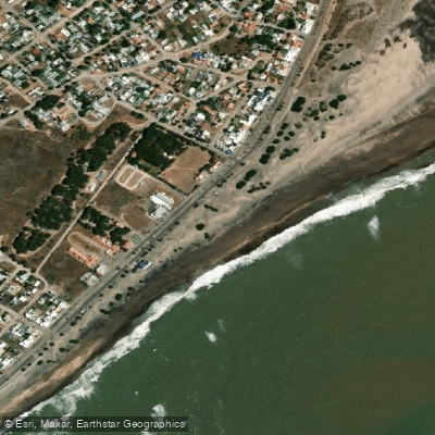
Playa Intermedia
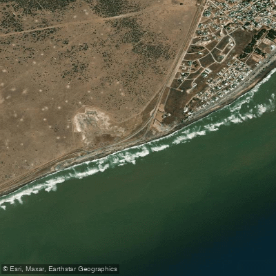
Playa El Faro
Explore Río Negro waters
Top paddling waters
No waters available right now.
Explore near La Lobería
Smarter Paddling Starts in the App.
PaddleWays gives you everything you need to plan smarter, paddle better, and own every trip from first launch to takeout.