Lago Pellegrini
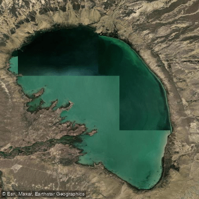
Lago Pellegrini
- Boat Ramps
- 1
- Access Points
- 0
- Campsites
- 0
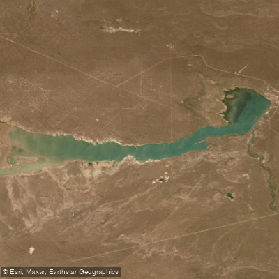
Lago Pellegrini is an artificial reservoir located in the General Roca Department of Río Negro Province, in Argentine Patagonia, near the city of Cinco Saltos. It sits at approximately 270 meters above sea level at coordinates 38°40′S 68°00′W. The lake covers 112 km² with an average depth of 9.4 meters and a maximum depth of 18 meters, holding a volume of roughly 1.053 billion cubic meters.
The reservoir originated as a natural wind-eroded depression that was subsequently filled via a derivation channel drawing water from the Neuquén River. That canal runs approximately 120 kilometers and also supplies the irrigation network of the Alto Valle region. The Dique Ingeniero Ballester dam is the source structure for this canal system.
Access to the lake is straightforward: it lies about 14 kilometers off National Route 151, which connects the region to the south. The balneario (beach and recreation area) includes camping facilities, restrooms, and parrillas (grilling areas), making it a practical base for paddlers spending a day or a weekend on the water.
Paddling activities at the lake include kayaking, canoeing, sailing, windsurfing, and kitesurfing. The lake's large open surface area — over 100 km² — and the dry Patagonian climate mean that wind is a consistent presence, which benefits sail-based sports but warrants attention for kayakers and canoeists who should be prepared for open-water wind exposure.
The surrounding landscape is characteristic of Patagonian steppe — arid and flat — with the lake presenting a striking contrast as a large body of open water in an otherwise desert environment. The area supports a notable variety of bird species, making wildlife observation a secondary draw for those on the water. Fishing for pejerrey and trout is also practiced on the lake.
Summer is the primary season for water-based recreation, with the dry and mild climate of the Alto Valle making warm-season visits the most practical. The lake is ranked as the top attraction in Cinco Saltos on major travel platforms, reflecting its regional significance as a recreational destination.
Water access, boat ramps & amenities
Learn how to get on Lago Pellegrini. Uncover great paddling access points, boat ramps, and all the facilities you need for an unforgettable day on the water. Some locations shown may border or include private property. Always check property boundaries and applicable regulations before visiting. PaddleWays's Public & Private Land layer can help you plan your access with confidence.
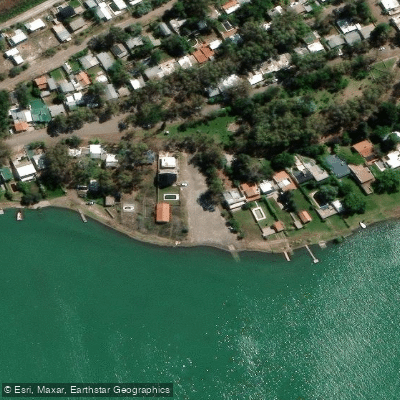
Paddle smarter with real-time insights
Whether you're en route and conditions shift or you're looking for the best spot based on current flows, we enable you to make informed decisions on the fly.







Río Negro licenses and regulations

Find Places to Paddle

Over 400,000 Places to Paddle
Every user gets free access to launch points, boat ramps, and public property parcels.


Water and weather conditions (10 day forecast)
See the best times to paddle Lago Pellegrini and check the forecast before you go.
No forecast data available.
Paddling near Lago Pellegrini
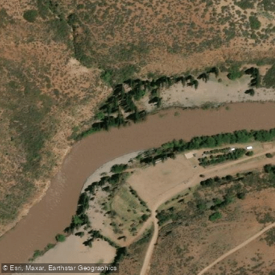
Río Neuquén
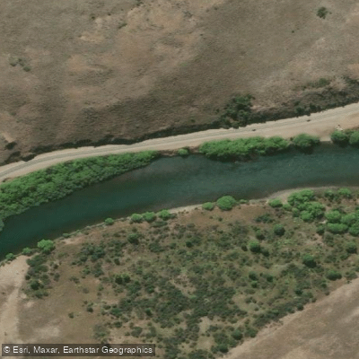
Río Limay
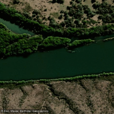
Río Negro
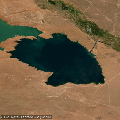
Lago Marí Menuco
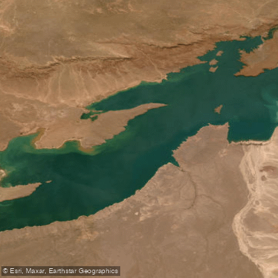
Embalse Ezequiel Ramos Mexía
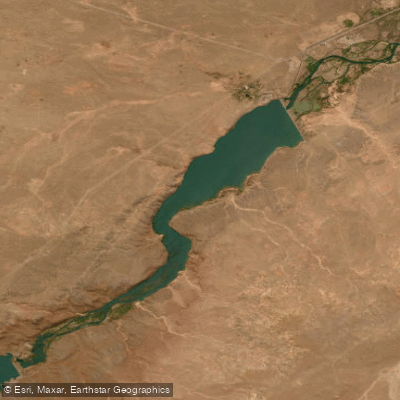
Embalse Arroyito
Embalse Casa de Piedra
Explore Río Negro waters
Top paddling waters
No waters available right now.
Popular Cities
Loading popular cities...
Explore near Lago Pellegrini
Access points
Nearby waters
More in Río Negro

Smarter Paddling Starts in the App.
Paddleways gives you everything you need to plan smarter, paddle better, and own every trip from first launch to takeout.