Playa El Pescadero
- Saltwater
- Beach
Playa El Pescadero
- Saltwater
- Beach
- Sq. miles
- 0
- Boat Ramps
- 0
- Access Points
- 0
- Campsites
- 0
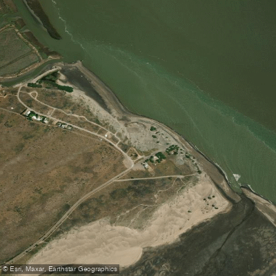
Playa El Pescadero is a long, sandy beach stretching approximately 3.45 kilometers along the coast of Río Negro, Argentina, within the Municipio de Viedma. It is a public beach situated near the mouth of the Río Negro and the Balneario El Cóndor, with the local lighthouse being a notable landmark visible from the shore. The beach offers a significant amount of open space. For paddlers, the primary access is directly from the sand, requiring a carry of gear across the beach to the water's edge. The beach faces the open Atlantic Ocean, making it exposed to prevailing winds and ocean swells. The best months to visit, when air temperatures are warmest, are December through March, with average daytime highs reaching 28-29°C in January, February, and March. Water temperatures follow a seasonal pattern, being warmest during these summer months and coolest from June through September. The beach's location near the river mouth suggests the potential for dynamic water conditions influenced by tides and river outflow, which can affect the character of the surf and shore-break at the launch point. The proximity to the Río Negro estuary and Bahía Creek indicates these are potential nearby destinations for exploration by kayak or SUP.
Water access, boat ramps & amenities
Learn how to get on Playa El Pescadero. Uncover great paddling access points, boat ramps, and all the facilities you need for an unforgettable day on the water. Some locations shown may border or include private property. Always check property boundaries and applicable regulations before visiting. PaddleWays's Public & Private Land layer can help you plan your access with confidence.
Paddle smarter with real-time insights
Whether you're en route and conditions shift or you're looking for the best spot based on current flows, we enable you to make informed decisions on the fly.







Río Negro licenses and regulations

Find Places to Paddle

Over 400,000 Places to Paddle
Every user gets free access to launch points, boat ramps, and public property parcels.


Tides, wind & water conditions (10 day forecast)
On open water, wind and tide matter as much as the weather. See the best times to paddle Playa El Pescadero and check the marine forecast before you launch.
Loading tide predictions…
Paddling near Playa El Pescadero
Río Negro
Laguna Gutiérrez
Banco Miguel
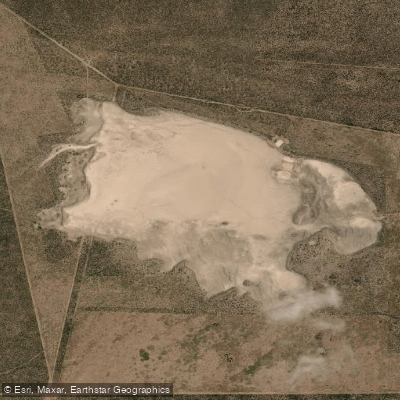
Laguna La Meseta
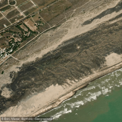
Playa Fernando Erica
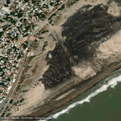
Playa Central
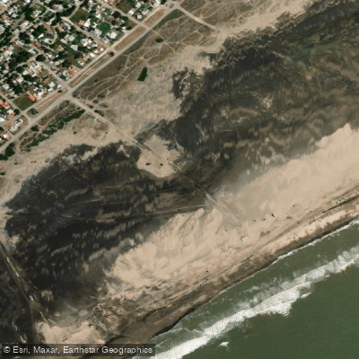
Playa Cailotto
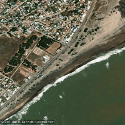
Playa Intermedia
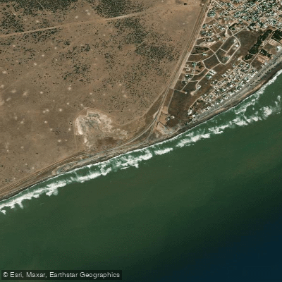
Playa El Faro
Explore Río Negro waters
Top paddling waters
No waters available right now.
Popular Cities
Loading popular cities...
Explore near Playa El Pescadero

Smarter Paddling Starts in the App.
Paddleways gives you everything you need to plan smarter, paddle better, and own every trip from first launch to takeout.