Río Luracatao
- River
- River
- River length
- 47 mi
- Boat Ramps
- 0
- Access Points
- 0
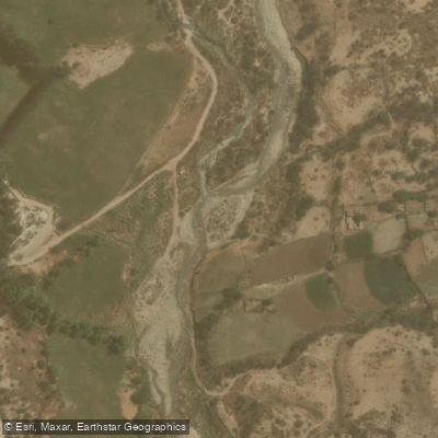
The Río Luracatao flows through the Luracatao Valley in the Calchaquí Valleys region of Salta, Argentina, within the department of Molinos. The river and its surrounding valley are situated in an anthropically modified landscape, shaped over time by human activity. The area offers an extensive trail system, including a 41.1-mile out-and-back route near the town of Luracatao that is accessible year-round. The river is recognized as a destination for fishing, with resources available to help locate access points and necessary facilities for a day on the water. The overall character of the experience is defined by its location in the scenic and historically significant Valles Calchaquíes, a region known for its dramatic landscapes and cultural heritage. The river's course through this valley suggests a setting of natural beauty, though paddlers should be prepared for a remote environment.
Hazards
Hazards on Río Luracatao
No hazards are marked on Río Luracatao yet. That is not the same as none being there: if you find one, report it for the next paddler.
From the community
Río Luracatao trip reports
Nobody has shared a trip on Río Luracatao yet. Paddle it, then tell the next paddler how it went.
Flows & paddling conditions (10 day forecast)
Flows and weather, so you know what to expect on Río Luracatao today.
No forecast data available.
Paddle smarter with real-time insights
Live flows, marked hazards and fresh trip reports from paddlers who were just on the water, all in one place.







Find Places to Paddle

Over 400,000 Places to Paddle
Every user gets free access to launch points, boat ramps, and public property parcels.


Salta licenses and regulations

Paddling near Río Luracatao
Río Rosario
Río Chicoana
Río Arias o Arenales
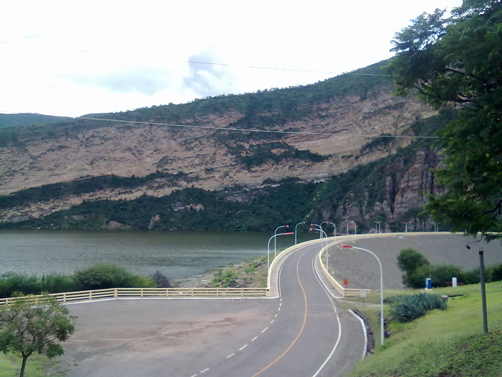
Embalse Cabra Corral
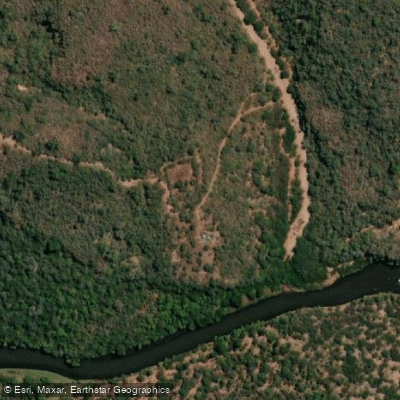
Río Pasaje o Juramento
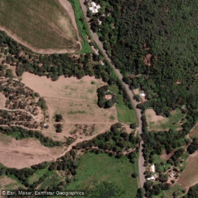
Río Osma
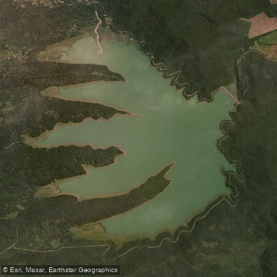
Embalse Las Maderas
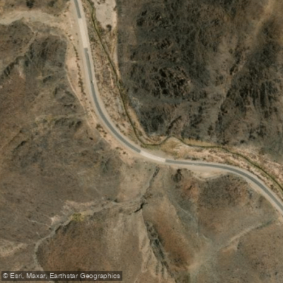
Arroyo Tastil
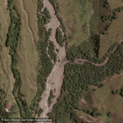
Río Potrero de Castilla
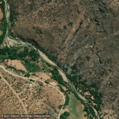
Río Brealito
Explore Salta waters
Top paddling waters
No waters available right now.
Explore near Río Luracatao
Smarter Paddling Starts in the App.
PaddleWays gives you everything you need to plan smarter, paddle better, and own every trip from first launch to takeout.