Arroyo de las Águilas
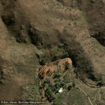
Arroyo de las Águilas
- Boat Ramps
- 0
- Access Points
- 0
- Campsites
- 3
Arroyo de las Águilas is a mountain stream located approximately 12 kilometers from the town of El Trapiche in San Luis province, Argentina. It originates in the Sierras de San Luis and, together with the Río Virorco, forms the Río Trapiche downstream. Rainbow trout (trucha arco iris) are present in these combined waters.
As a typical sierra stream, its flow is fed primarily by summer rainfall, resulting in highly irregular water levels throughout the year. Expect prolonged dry periods alternating with dramatic increases in volume during and after precipitation events. This seasonal variability is a critical planning consideration for any paddling or water activity.
There are two main access routes. The first follows Ruta Provincial 20 to El Volcán, then Ruta Provincial 9 to El Durazno, and continues approximately 7 kilometers to Virorco. The second approach goes through El Trapiche, then along Ruta Provincial 18 for about 10 kilometers to Virorco, followed by 2 kilometers to the left to reach the riverbank. Both routes involve approximately 12 kilometers of consolidated dirt road, which becomes impassable after rain. There is no signage along the access routes.
The site is in good conservation condition, though certain stretches of the stream are obstructed by perimeter fences that cross the watercourse, and the riparian margins are not always respected. Access is free of charge.
The stream was celebrated by the Puntano poet Antonio Esteban Agüero, who described it as having a cascade with a fine pool. One of the oldest estancias in the area is located along its banks. The surrounding landscape is characterized by sierra vegetation and natural terrain typical of this part of Argentina's Cuyo region. Trekking, walking, and swimming are among the activities practiced at the site, reflecting its character as a relatively accessible natural area within a broader network of sierra streams near El Trapiche.
Water access, boat ramps & amenities
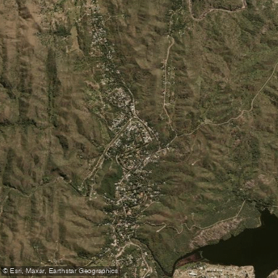
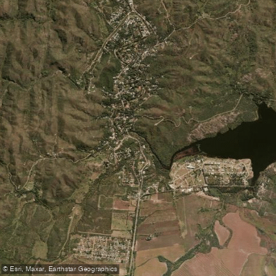
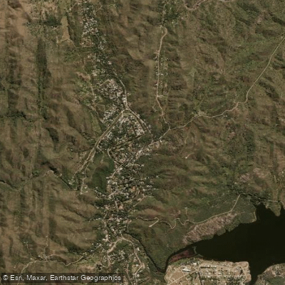
Learn how to get on Arroyo de las Águilas. Uncover great paddling access points, boat ramps, and all the facilities you need for an unforgettable day on the water. Some locations shown may border or include private property. Always check property boundaries and applicable regulations before visiting. PaddleWays's Public & Private Land layer can help you plan your access with confidence.
Paddle smarter with real-time insights
Whether you're en route and conditions shift or you're looking for the best spot based on current flows, we enable you to make informed decisions on the fly.







San Luis licenses and regulations

Find Places to Paddle

Over 400,000 Places to Paddle
Every user gets free access to launch points, boat ramps, and public property parcels.


Water and weather conditions (10 day forecast)
See the best times to paddle Arroyo de las Águilas and check the forecast before you go.
No forecast data available.
Paddling near Arroyo de las Águilas
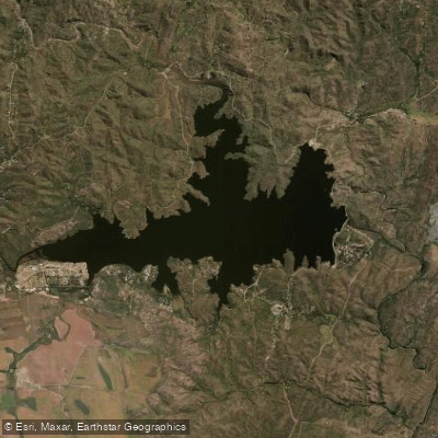
Embalse La Florida
Río Virorco
Río de Juan Gómez
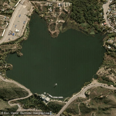
Embalse Potrero de los Funes
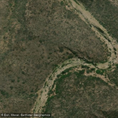
Río Socoscora
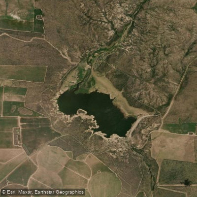
Embalse Paso de las Carretas
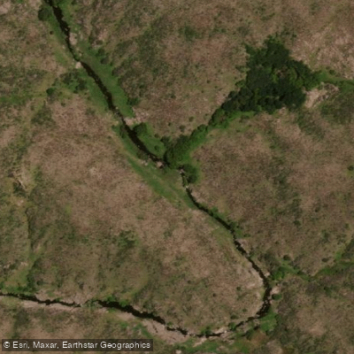
Río Rosario
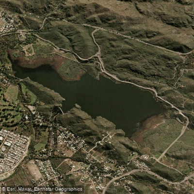
Embalse Cruz de Piedra
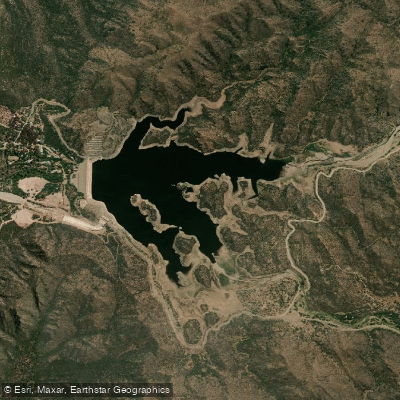
Embalse Nogolí
Explore San Luis waters
Top paddling waters
No waters available right now.
Popular Cities
Loading popular cities...
Explore near Arroyo de las Águilas

Smarter Paddling Starts in the App.
Paddleways gives you everything you need to plan smarter, paddle better, and own every trip from first launch to takeout.