Embalse Potrero de los Funes
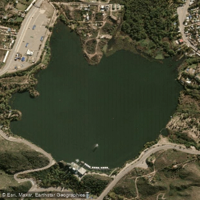
Embalse Potrero de los Funes
- Boat Ramps
- 0
- Access Points
- 0
- Campsites
- 3
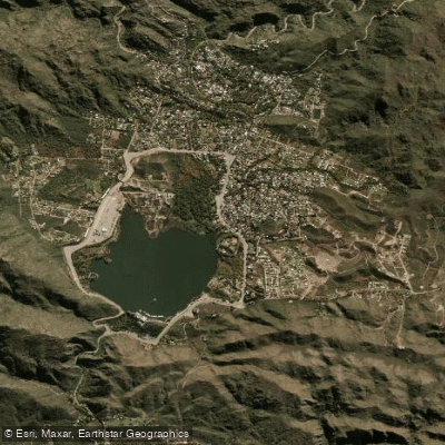
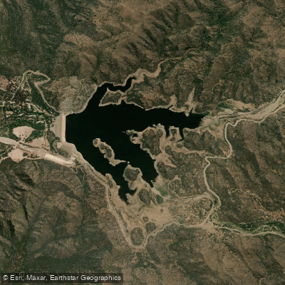
Embalse Potrero de los Funes is a reservoir situated approximately 18–23 km northeast of the city of San Luis, in the province of San Luis, Argentina. It lies within a broad valley of the Sierras de San Luis at an elevation of roughly 953–1,000 meters above sea level. The reservoir covers a surface area of 3.6 km² (360 hectares) and reaches an average depth of 33 meters. It was formed by damming the río Potrero, which collects water from several smaller streams including the arroyo Los Molles and La Bolsa. The current dam structure dates to 1927, making the reservoir one of the oldest artificial impoundments in South America.
The water is crystal-clear, set against a backdrop of mountain ranges that rise from 900 to over 2,100 meters. A 6 km circuit around the lake offers an opportunity to explore the shoreline on foot, and the surrounding terrain includes gorges, streams, and the Salto de la Moneda waterfall, a cascade located within a forest notable for its large ferns.
Kayaking is a well-established activity on the reservoir. Guided kayak outings are available locally and typically include instruction in basic paddling techniques, water reading, and safety before launching. The calmer shoreline areas are ideal for paddling and swimming stops. Pedal boats are also available for rental. The Parque Nativo, located on the reservoir's shore, is a publicly accessible park that provides a convenient base for water-based activities, with facilities including barbecue areas and boat rentals.
The reservoir is also used for fishing, with carp and pejerrey among the species present. Several hotels, hostels, and tourist complexes line the shores, including a floating café associated with the Hotel Potrero de los Funes. Summer is the most popular season for water activities, attracting both local visitors and tourists from across the region. The mild climate of the valley makes the reservoir accessible year-round. Access to the area is via Ruta Provincial 18, which connects Potrero de los Funes to the city of San Luis.
Water access, boat ramps & amenities
Learn how to get on Embalse Potrero de los Funes. Uncover great paddling access points, boat ramps, and all the facilities you need for an unforgettable day on the water. Some locations shown may border or include private property. Always check property boundaries and applicable regulations before visiting. PaddleWays's Public & Private Land layer can help you plan your access with confidence.
Paddle smarter with real-time insights
Whether you're en route and conditions shift or you're looking for the best spot based on current flows, we enable you to make informed decisions on the fly.







San Luis licenses and regulations

Find Places to Paddle

Over 400,000 Places to Paddle
Every user gets free access to launch points, boat ramps, and public property parcels.


Water and weather conditions (10 day forecast)
See the best times to paddle Embalse Potrero de los Funes and check the forecast before you go.
No forecast data available.
Paddling near Embalse Potrero de los Funes
Arroyo de las Águilas
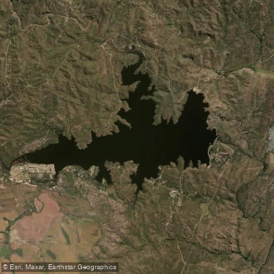
Embalse La Florida
Río Virorco
Río de Juan Gómez
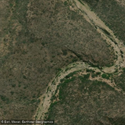
Río Socoscora
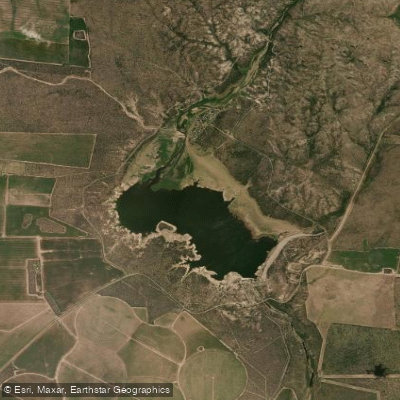
Embalse Paso de las Carretas
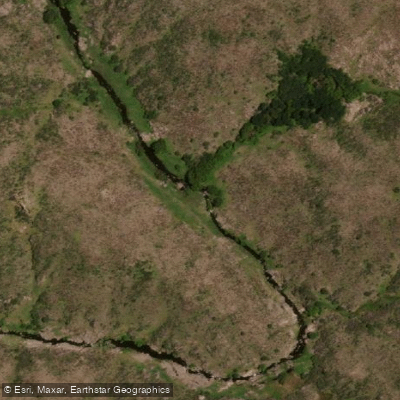
Río Rosario
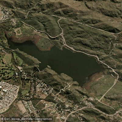
Embalse Cruz de Piedra
Embalse Nogolí
Explore San Luis waters
Top paddling waters
No waters available right now.
Popular Cities
Loading popular cities...
Explore near Embalse Potrero de los Funes

Smarter Paddling Starts in the App.
Paddleways gives you everything you need to plan smarter, paddle better, and own every trip from first launch to takeout.