Embalse Paso de las Carretas
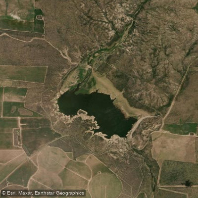
Embalse Paso de las Carretas
- Boat Ramps
- 1
- Access Points
- 0
- Campsites
- 0
Embalse Paso de las Carretas is a reservoir located in Departamento Coronel Pringles, approximately 50–55 kilometers from the city of San Luis and about 70 kilometers from Villa Mercedes via the Autopista Serranías Puntanas. The reservoir was constructed in 1983 with the primary purposes of compensating the Dique La Florida, attenuating flooding along the middle course of the Río Quinto, and securing irrigation for a broad area around Villa Mercedes. The reservoir covers a surface area of 750 hectares, holds a capacity of 74 cubic hectometers, and drains a watershed of 1,800 square kilometers.
Kayak paddling is an established activity on the reservoir, with organized kayak fishing outings taking place on the water. Paddlers should be aware that wind can develop and pick up quickly, creating cross-winds that agitate the surface and can result in getting wet if proper paddleware is not worn. Water levels can vary considerably depending on rainfall, and at times the reservoir has been notably below capacity, exposing shoreline areas that are normally submerged.
A fishing and boat launch camping area operates on site, offering cabins and basic amenities. A boat ramp is also present. Regarding fishing regulations, a restricted fishing zone requires anglers to remain at least 200 meters from the shore and dam wall; Dique Paso de las Carretas is among the diques where fishing is permitted under this arrangement. Pejerrey and carpa are the fish species present in the reservoir.
The surrounding landscape is dominated by caldén woodland, accompanied by native species including tala, chañar, tusca, espinillo, tintitaco, and piquillín. The area has historical significance as a former staging post and river crossing point on the old messenger route between Chile and Río de la Plata. Access is straightforward via paved provincial routes and highways, making the reservoir a practical destination for weekend trips from San Luis or Villa Mercedes.
Water access, boat ramps & amenities
Learn how to get on Embalse Paso de las Carretas. Uncover great paddling access points, boat ramps, and all the facilities you need for an unforgettable day on the water. Some locations shown may border or include private property. Always check property boundaries and applicable regulations before visiting. PaddleWays's Public & Private Land layer can help you plan your access with confidence.
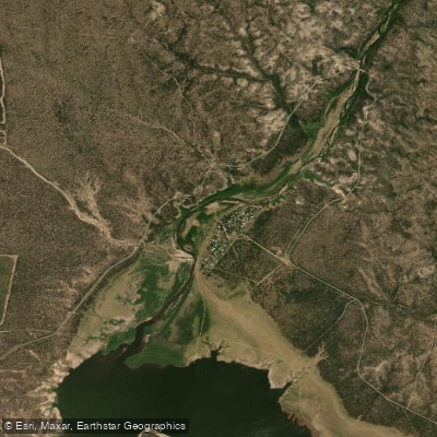
Paddle smarter with real-time insights
Whether you're en route and conditions shift or you're looking for the best spot based on current flows, we enable you to make informed decisions on the fly.







San Luis licenses and regulations

Find Places to Paddle

Over 400,000 Places to Paddle
Every user gets free access to launch points, boat ramps, and public property parcels.


Water and weather conditions (10 day forecast)
See the best times to paddle Embalse Paso de las Carretas and check the forecast before you go.
No forecast data available.
Paddling near Embalse Paso de las Carretas
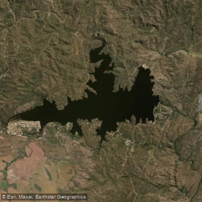
Embalse La Florida
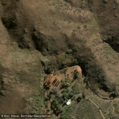
Arroyo de las Águilas
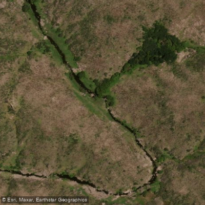
Río Rosario
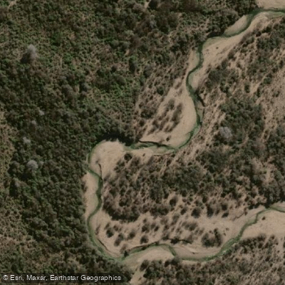
Río Conlara
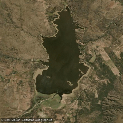
Embalse San Felipe
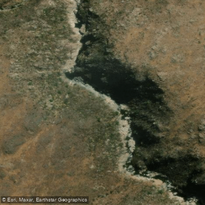
Río de Juan Gómez
Río Quines
Río Virorco
Arroyo Piedras Blancas
Explore San Luis waters
Top paddling waters
No waters available right now.
Popular Cities
Loading popular cities...
Explore near Embalse Paso de las Carretas
Access points
Nearby waters
More in San Luis

Smarter Paddling Starts in the App.
Paddleways gives you everything you need to plan smarter, paddle better, and own every trip from first launch to takeout.