Embalse La Florida
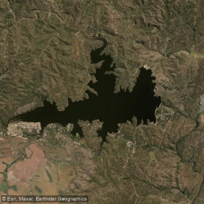
Embalse La Florida
- Boat Ramps
- 2
- Access Points
- 0
- Campsites
- 6
Embalse La Florida is the largest reservoir in San Luis province, situated at the foot of the Sierras de San Luis approximately 40–47 km northeast of the provincial capital, accessible via Ruta Provincial 9 toward El Trapiche. The reservoir covers roughly 704 hectares, reaches a maximum width of 4 km, and sits at an altitude of 1,020 meters. Its average depth is 12 meters, though it reaches a maximum of 45 meters in places. The reservoir is fed by the Río Grande and the Río Trapiche, and its outflow gives rise to the Río Quinto.
The reservoir has been declared an ecological and cultural monument, and as a result, motorized watercraft are not permitted on its waters. Paddling activities — kayak, stand-up paddleboard, and windsurf — thrive in these conditions. Equipment rental and organized activities are available through the Club Náutico y de Pesca La Florida, and water skiing and wakeboarding are organized through the Asociación de Ski & Wakeboard San Luis, though paddlers should be aware of any designated zones that separate motorized and non-motorized activity.
The southern shore is the primary recreation zone, featuring campgrounds, vacation houses, the nautical club, and a free public access point to the water. The northern shore is notably less developed, preserving its natural landscape of monte serrano vegetation including algarrobo and tala trees. Ruta Provincial 39 runs along much of the reservoir's perimeter and provides multiple stopping points with water access. A 340-hectare flora and fauna reserve, the Reserva de flora y fauna La Florida, borders the reservoir and protects native species including the lagarto overo. The area around the reservoir also includes trails leading to the Salto de la Moneda waterfall and several scenic overlooks.
Facilities on the southern margin include camping areas with barbecue pits and shaded areas, a fish hatchery (Estación de Piscicultura) on the western shore, and a seasonally operated balneario. The reservoir is used year-round, with water sports activity concentrated in the summer months. The surrounding landscape combines forested hillsides with open water views, and the reservoir's considerable size means paddlers can find quieter stretches by moving away from the main recreation areas near the club and beach zones.
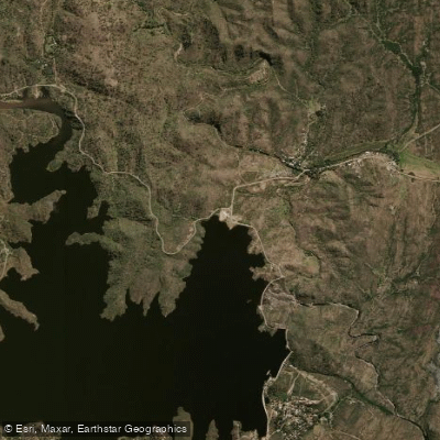
Water access, boat ramps & amenities
Learn how to get on Embalse La Florida. Uncover great paddling access points, boat ramps, and all the facilities you need for an unforgettable day on the water. Some locations shown may border or include private property. Always check property boundaries and applicable regulations before visiting. PaddleWays's Public & Private Land layer can help you plan your access with confidence.
Paddle smarter with real-time insights
Whether you're en route and conditions shift or you're looking for the best spot based on current flows, we enable you to make informed decisions on the fly.







San Luis licenses and regulations

Find Places to Paddle

Over 400,000 Places to Paddle
Every user gets free access to launch points, boat ramps, and public property parcels.


Water and weather conditions (10 day forecast)
See the best times to paddle Embalse La Florida and check the forecast before you go.
No forecast data available.
Paddling near Embalse La Florida
Arroyo de las Águilas
Río Virorco
Río de Juan Gómez
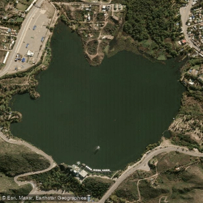
Embalse Potrero de los Funes
Río Socoscora
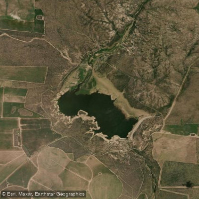
Embalse Paso de las Carretas
Río Rosario
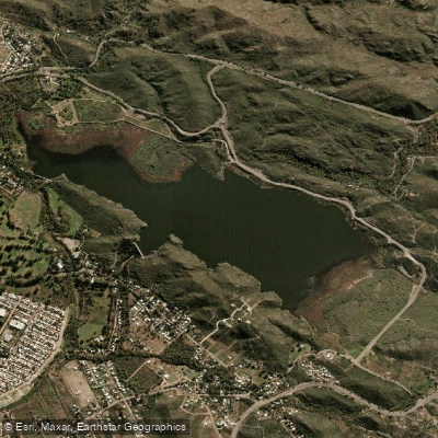
Embalse Cruz de Piedra
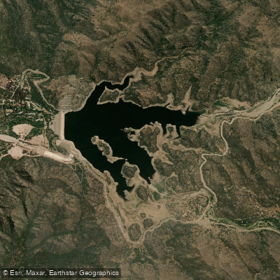
Embalse Nogolí
Explore San Luis waters
Top paddling waters
No waters available right now.
Popular Cities
Loading popular cities...
Explore near Embalse La Florida
Access points
Nearby waters
More in San Luis

Smarter Paddling Starts in the App.
Paddleways gives you everything you need to plan smarter, paddle better, and own every trip from first launch to takeout.