Embalse Río Hondo
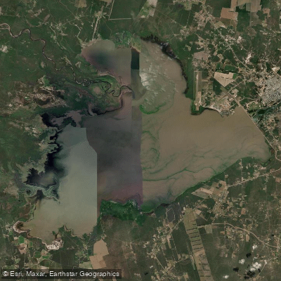
Embalse Río Hondo
- Boat Ramps
- 0
- Access Points
- 0
- Campsites
- 1
Embalse Río Hondo sits on the provincial boundary between Tucumán and Santiago del Estero, approximately 3.5 km upstream from the city of Termas de Río Hondo. The reservoir covers roughly 330 km² (44,000 hectares), stretching about 19 km in length and 17 km in width, at an elevation of 272 meters above sea level. The lake is divided roughly equally between the two provinces, though virtually all of its freshwater inflow originates from Tucumán via the rivers Salí, Gastona, Medina, Mayo, Marapa, Lules, and Chico, all draining the Aconquija mountain system.
The dam structure — known as the Dique Frontal Río Hondo — is a mixed earth and reinforced concrete system. The concrete section, 206 meters long with a maximum height of 30 meters, houses the hydroelectric plant (operational since 1976) along with control gates and turbine intakes. The total dam length reaches 4,325 meters. Paddlers should be aware of the dam infrastructure and associated water management operations, which can affect flow and water levels across this large impoundment.
The reservoir supports a notable fishery, with species including bogas, sábalos, bagres, tarariras, pacúes, surubíes, and dorados reaching up to 25 kg. A national dorado fishing championship takes place annually in October, which will bring increased boat traffic to the water during that period. The scale of the reservoir — nearly 20 km across in both dimensions — means open-water crossings can expose paddlers to significant wind and wave exposure, and the flat, expansive character of the lake offers little natural shelter in deteriorating conditions.
Water access, boat ramps & amenities
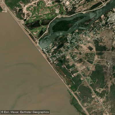
Learn how to get on Embalse Río Hondo. Uncover great paddling access points, boat ramps, and all the facilities you need for an unforgettable day on the water. Some locations shown may border or include private property. Always check property boundaries and applicable regulations before visiting. PaddleWays's Public & Private Land layer can help you plan your access with confidence.
Paddle smarter with real-time insights
Whether you're en route and conditions shift or you're looking for the best spot based on current flows, we enable you to make informed decisions on the fly.







Santiago Del Estero licenses and regulations

Find Places to Paddle

Over 400,000 Places to Paddle
Every user gets free access to launch points, boat ramps, and public property parcels.


Water and weather conditions (10 day forecast)
See the best times to paddle Embalse Río Hondo and check the forecast before you go.
No forecast data available.
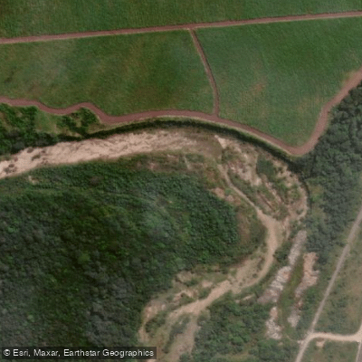
Explore Santiago Del Estero waters
Top paddling waters
No waters available right now.
Popular Cities
Loading popular cities...
Explore near Embalse Río Hondo
Access points
Nearby waters
More in Santiago Del Estero

Smarter Paddling Starts in the App.
Paddleways gives you everything you need to plan smarter, paddle better, and own every trip from first launch to takeout.