Balneario Lainez
- Saltwater
- Beach
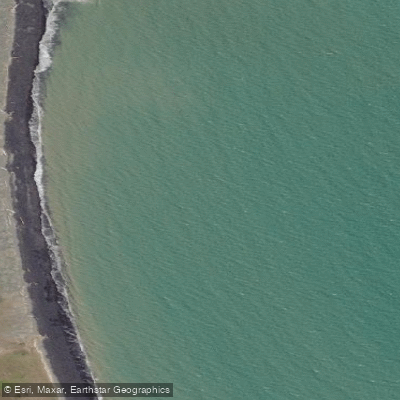
Balneario Lainez
- Saltwater
- Beach
- Sq. miles
- 0
- Boat Ramps
- 0
- Access Points
- 0
- Campsites
- 0
Balneario Lainez, also known as Río Lainez, is a beach located on Ruta complementaria A in Tierra del Fuego Province, Argentina. The beach's specific character regarding its surface, whether it is sandy or rocky, is not detailed. Access is via the named route, but the specifics of parking areas or the carry distance from a vehicle to the water's edge are not defined. The public access status and whether there is a fee for entry are also not confirmed. The climate is subpolar, with significant seasonal variation in air temperature. The warmest months are December through April, with average daytime highs ranging from 11°C to 15°C, while the coldest months from May to August see average highs of only 5°C to 8°C. Nighttime temperatures frequently drop near or below freezing outside of the summer season. Precipitation occurs year-round, with the wettest months typically being January and December, receiving around 99mm and 83mm of rain respectively. This suggests paddlers should be prepared for cold water and air temperatures, wind, and rain throughout the year, with the most favorable weather windows likely occurring during the austral summer from December to March. No information is available regarding specific launch hazards like surf, shore-break, or tidal influence, nor are there details on amenities, water quality, recommended paddle routes, or notable wildlife or sights visible from the water. The overall paddling experience from this beach would be defined by its remote Tierra del Fuego location, requiring self-sufficiency and preparation for rapidly changing, cold-weather conditions.
Water access, boat ramps & amenities
Learn how to get on Balneario Lainez. Uncover great paddling access points, boat ramps, and all the facilities you need for an unforgettable day on the water. Some locations shown may border or include private property. Always check property boundaries and applicable regulations before visiting. PaddleWays's Public & Private Land layer can help you plan your access with confidence.
Paddle smarter with real-time insights
Whether you're en route and conditions shift or you're looking for the best spot based on current flows, we enable you to make informed decisions on the fly.







Tierra Del Fuego licenses and regulations

Find Places to Paddle

Over 400,000 Places to Paddle
Every user gets free access to launch points, boat ramps, and public property parcels.


Tides, wind & water conditions (10 day forecast)
On open water, wind and tide matter as much as the weather. See the best times to paddle Balneario Lainez and check the marine forecast before you launch.
Loading tide predictions…
Paddling near Balneario Lainez
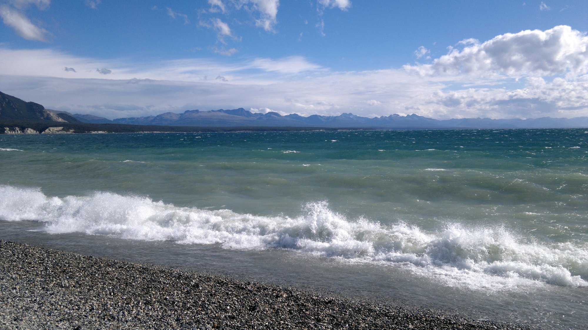
Lago Fagnano
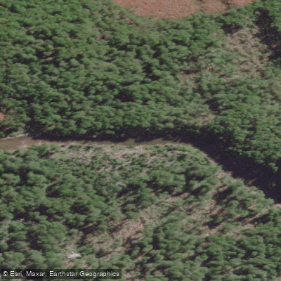
Río Lasifashaj
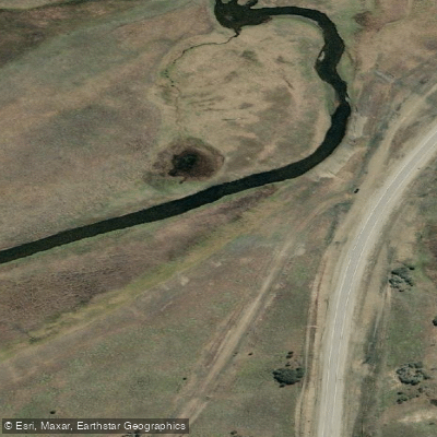
Río Ewan
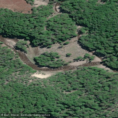
Río Varela
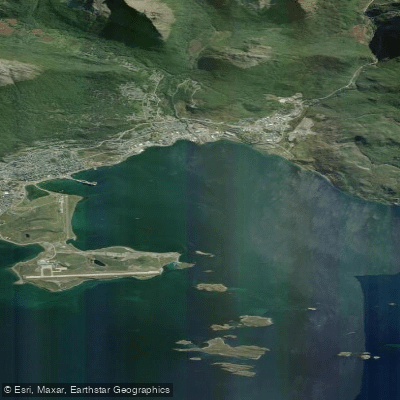
Bahía de Ushuaia
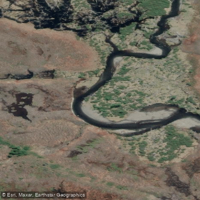
Río Moat
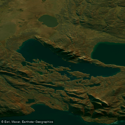
Lago Yehuin
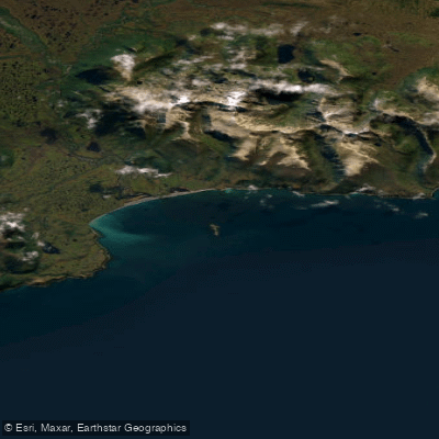
Bahia Sloggett
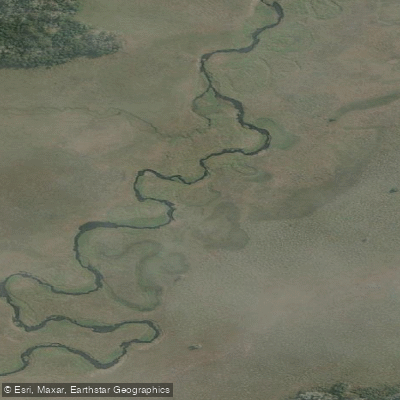
Río Ewan (Brazo Sur)
Explore Tierra Del Fuego waters
Top paddling waters
No waters available right now.
Popular Cities
Loading popular cities...
Explore near Balneario Lainez
Nearby waters
More in Tierra Del Fuego

Smarter Paddling Starts in the App.
Paddleways gives you everything you need to plan smarter, paddle better, and own every trip from first launch to takeout.