Lago Fagnano
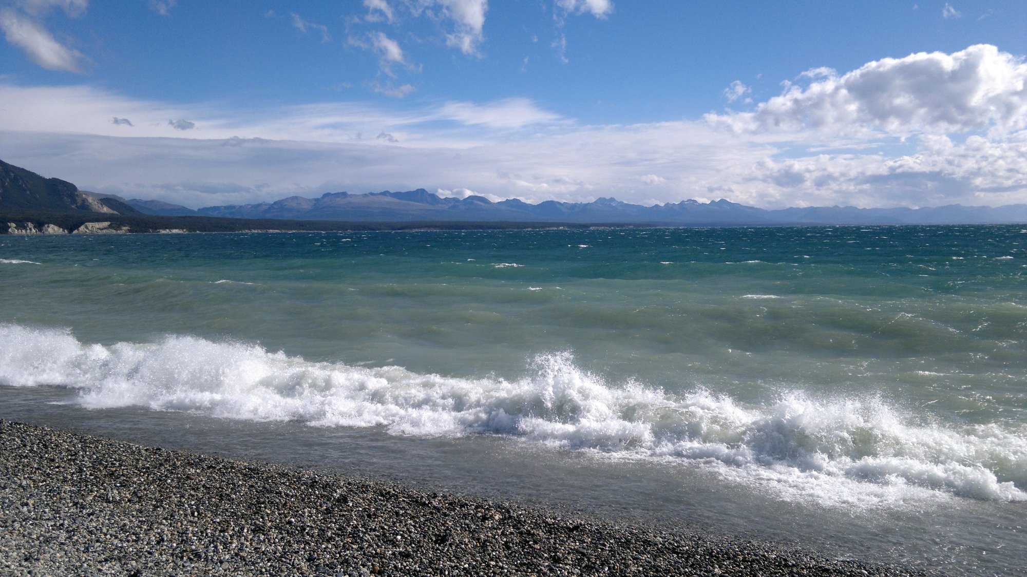
Lago Fagnano
- Boat Ramps
- 0
- Access Points
- 0
- Campsites
- 3
Lago Fagnano, also known as Lago Kami — its name in the Selk'nam language — is a massive glacial lake occupying a tectonic valley on the Isla Grande de Tierra del Fuego. It stretches roughly 98 kilometers east to west, covers a total surface area of 645 km², and reaches a maximum depth of 449 meters, with an average depth of around 194 meters. The great majority of the lake (approximately 93%) lies within Argentina's Tierra del Fuego Province, while the western end extends into Chilean territory. The lake sits at an elevation of 140 meters above sea level, and its western outlet drains via the Azopardo River toward the Almirantazgo Fjord.
The lake's extraordinary depth and length are the defining characteristics for paddlers to understand. The southern bank is steep, while the northern shore is comparatively gentler, opening onto a wide, flat piedmont. The lake lies directly above the Fagnano-Magallanes fault, the boundary between the South American and Scotia tectonic plates, which causes measurable seismic activity and micro-tremors in the area. The sheer scale of the lake — over 72 miles of shoreline — means that open-water crossings or extended traverses expose paddlers to significant fetch and the potential for rapid weather changes typical of sub-Antarctic Patagonia.
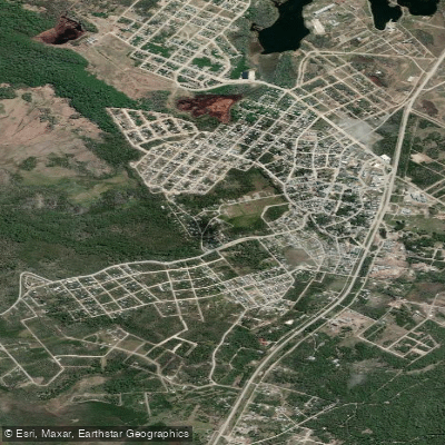
The town of Tolhuin sits at the eastern end of the lake and serves as the primary access point, located approximately 100 kilometers from Ushuaia and 110 kilometers from Río Grande, both reachable via National Route 3. Access to the lake area involves passing through a Prefectural (coast guard) control point, which paddlers should factor into their planning. Accommodation options near the lake include cabins, an inn, and a campsite.
The surrounding landscape is characterized by lenga beech forests and mountain ranges. Wildlife in the area includes beavers, which have significantly altered the local forest environment through dam-building. Sport fishing for trout and other salmonids is a common activity on the lake. Part of the lake's basin falls within the Corazón de la Isla Provincial Reserve, which may carry its own access or use regulations that paddlers should verify before launching.
Water access, boat ramps & amenities
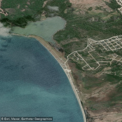
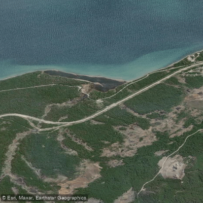
Learn how to get on Lago Fagnano. Uncover great paddling access points, boat ramps, and all the facilities you need for an unforgettable day on the water. Some locations shown may border or include private property. Always check property boundaries and applicable regulations before visiting. PaddleWays's Public & Private Land layer can help you plan your access with confidence.
Paddle smarter with real-time insights
Whether you're en route and conditions shift or you're looking for the best spot based on current flows, we enable you to make informed decisions on the fly.







Tierra Del Fuego licenses and regulations

Find Places to Paddle

Over 400,000 Places to Paddle
Every user gets free access to launch points, boat ramps, and public property parcels.


Water and weather conditions (10 day forecast)
See the best times to paddle Lago Fagnano and check the forecast before you go.
Lago Fagnano – Puerto Tolhuin
Paddling near Lago Fagnano
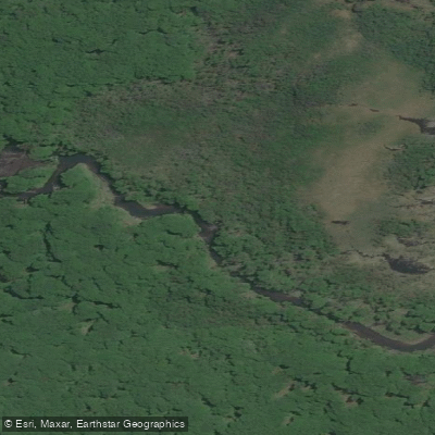
Río Pipo
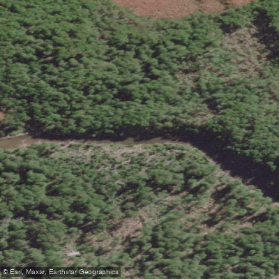
Río Lasifashaj
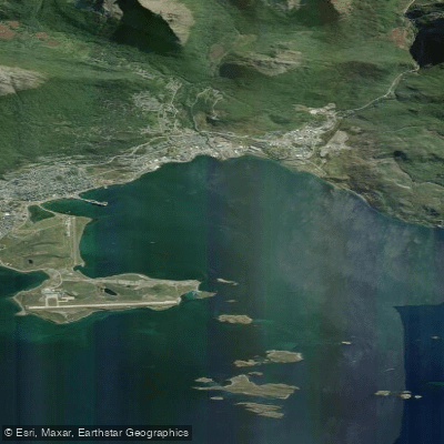
Bahía de Ushuaia
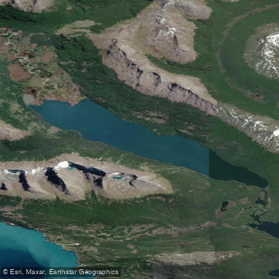
Lago Errázuriz / Lago Roca
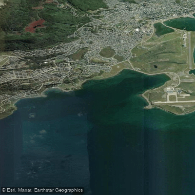
Bahía Golondrina
Río Encajonado
Río Varela
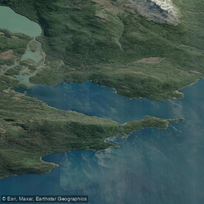
Bahía Lapataia
Río de las Turbas o Menéndez
Explore Tierra Del Fuego waters
Top paddling waters
No waters available right now.
Popular Cities
Loading popular cities...
Explore near Lago Fagnano

Smarter Paddling Starts in the App.
Paddleways gives you everything you need to plan smarter, paddle better, and own every trip from first launch to takeout.