Bahía de Ushuaia
- Saltwater
- Bay
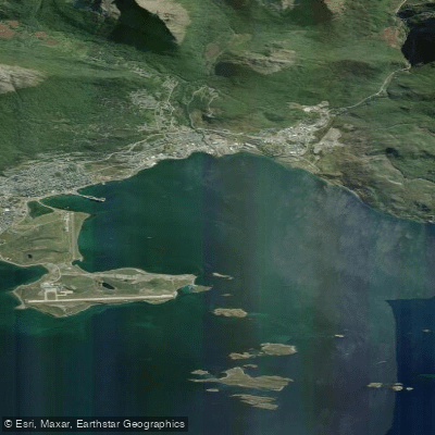
Bahía de Ushuaia
- Saltwater
- Bay
- Sq. miles
- 8.7
- Boat Ramps
- 0
- Access Points
- 0
- Campsites
- 0
Bahía de Ushuaia is a sheltered bay within the larger Beagle Channel system, located at the southern tip of Tierra del Fuego, Argentina. It serves as a primary launch area for paddlers exploring the region's coastal waters. A key public access point is the Club AFASyN, from which guided tours and independent paddlers can begin their excursions. Common routes from this launch involve coastal navigation towards Caleta Aspirante and the vicinity of Isla Casco, often returning to the same starting point. The bay provides a relatively protected environment for paddling, particularly suitable for beginners, with described as tranquil and relaxed. These conditions make it a popular location for introductory "baptism" kayak experiences. The activity is available year-round, including during the winter months, though all paddling is highly subject to weather conditions, and verifying availability with local operators is strongly recommended.
The bay's waters are part of the famed Beagle Channel, offering paddlers views of the dramatic Tierra del Fuego landscape. Points of interest accessible from the bay include the historic shipwreck Saint Christopher and Isla de los Pájaros (Bird Island). Wildlife sightings, such as seabirds, are a common feature of trips in this area. Paddlers share the bay with significant boat traffic, including tourist vessels departing from the local tourist pier to transit the bay and enter the Beagle Channel via Paso Chico. This necessitates constant awareness and caution, especially when crossing or navigating near common vessel routes. Guided tours are a prevalent and often required way to experience the area, with authorized guides necessary for many excursions. The overall character is one of accessible, guided adventure in a historically significant and visually striking sub-Antarctic setting.
Water access, boat ramps & amenities
Learn how to get on Bahía de Ushuaia. Uncover great paddling access points, boat ramps, and all the facilities you need for an unforgettable day on the water. Some locations shown may border or include private property. Always check property boundaries and applicable regulations before visiting. PaddleWays's Public & Private Land layer can help you plan your access with confidence.
Paddle smarter with real-time insights
Whether you're en route and conditions shift or you're looking for the best spot based on current flows, we enable you to make informed decisions on the fly.







Tierra Del Fuego licenses and regulations

Find Places to Paddle

Over 400,000 Places to Paddle
Every user gets free access to launch points, boat ramps, and public property parcels.


Tides, wind & water conditions (10 day forecast)
On open water, wind and tide matter as much as the weather. See the best times to paddle Bahía de Ushuaia and check the marine forecast before you launch.
Loading tide predictions…
Paddling near Bahía de Ushuaia
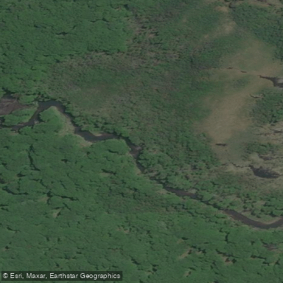
Río Pipo
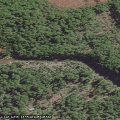
Río Lasifashaj
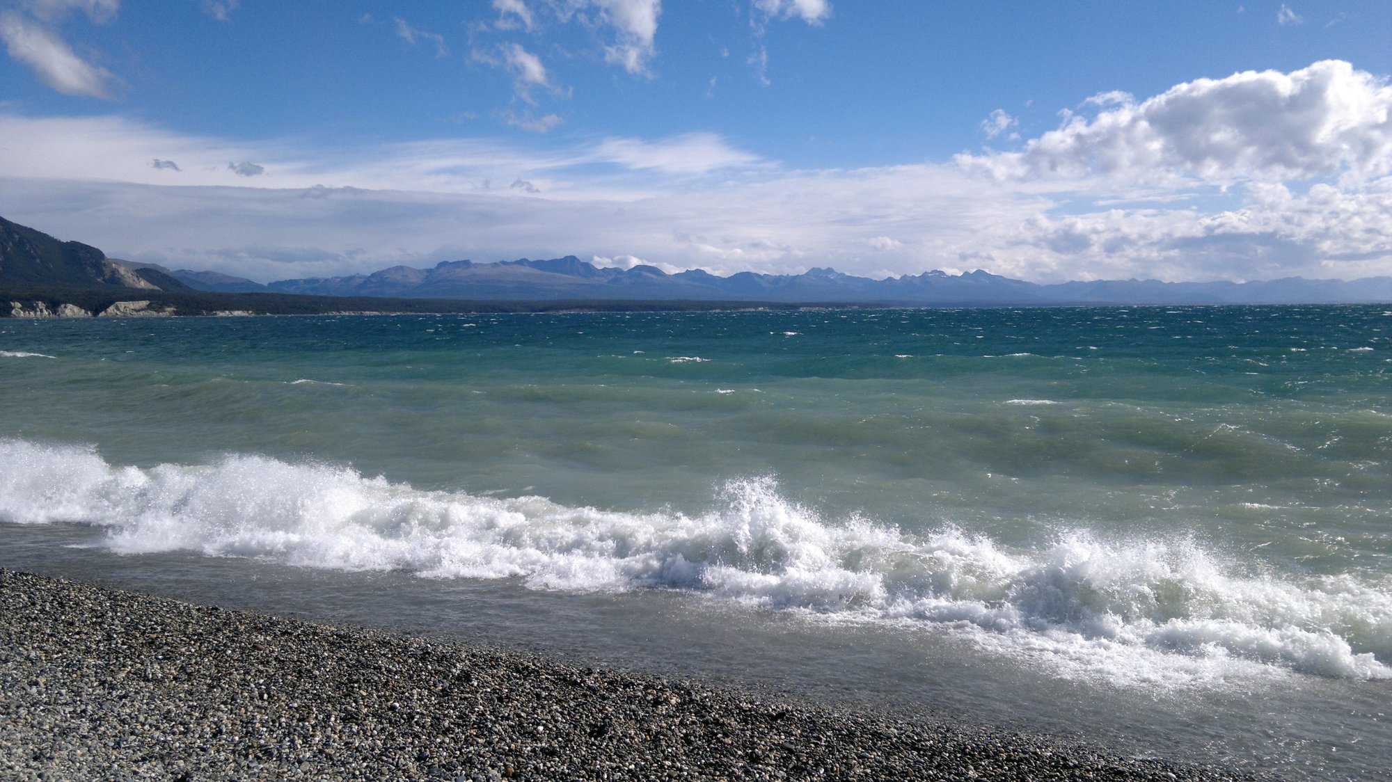
Lago Fagnano
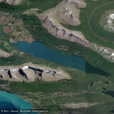
Lago Errázuriz / Lago Roca
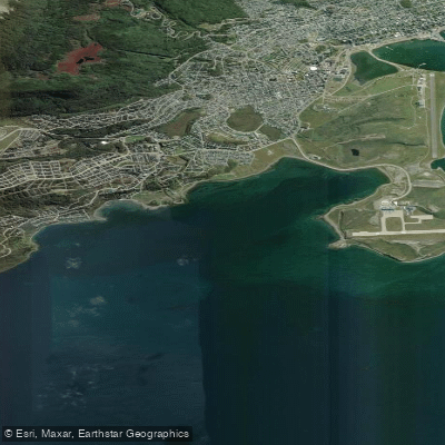
Bahía Golondrina
Río Encajonado
Río Varela
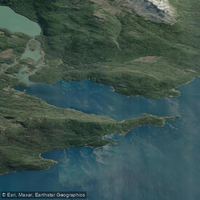
Bahía Lapataia
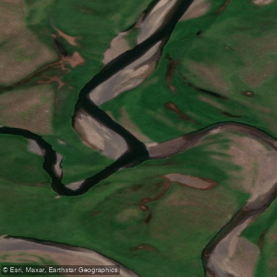
Río de las Turbas o Menéndez
Explore Tierra Del Fuego waters
Top paddling waters
No waters available right now.
Popular Cities
Loading popular cities...
Explore near Bahía de Ushuaia

Smarter Paddling Starts in the App.
Paddleways gives you everything you need to plan smarter, paddle better, and own every trip from first launch to takeout.