Río Lasifashaj
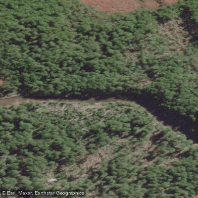
Río Lasifashaj
- Boat Ramps
- 0
- Access Points
- 0
- Campsites
- 3
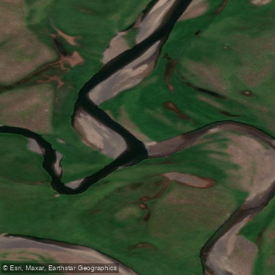
Río Lasifashaj is a west-to-east flowing river in the Departamento Ushuaia, Tierra del Fuego, Argentina. It drains a mountainous catchment bounded to the north by the cumbres of the sierra Alvear, to the south by the sierra Sorondo, and to the west by a morainal complex at the valley floor. The river ultimately empties into bahía Brown on the Canal Beagle. The mean discharge is approximately 10 m³/s, with a specific yield of around 26 liters per second per kilometer squared. The river follows a nivo-pluvial regime, meaning snowmelt drives the highest flows, which typically occur between October and December. Paddlers planning trips during that window should expect elevated and potentially fast water.
The lower reach transitions into an estuary before reaching the Canal Beagle, where herons, ducks, and cauquenes (upland geese) are commonly observed. Along the route, one notable geomorphological feature is a tall clay cliff — shaped over time by glacial, fluvial, and aeolian processes — that paddlers pass close alongside, providing a striking sense of scale. The valley and surrounding terrain are heavily forested with Nothofagus pumilio (lenga), Nothofagus antarctica (ñire), and Nothofagus betuloides (guindo or coihue de Magallanes). Lower-lying areas within the catchment support Sphagnum moss peat bogs and Carex sedge communities. The introduced North American beaver (Castor canadensis) is present in the watershed and may have altered some riparian areas.
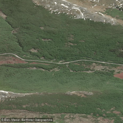
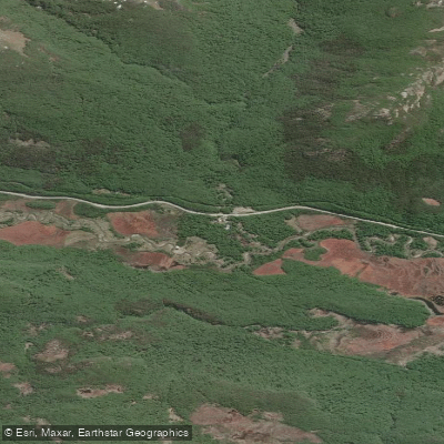
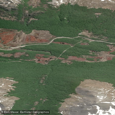
Part of the river's catchment falls within the reserva natural Valle Tierra Mayor. Ruta J provides access along the river corridor. A waterfall accessible via a roughly 45-minute flat trail, starting from the main road to Puerto Almanza where parking is available, is located in the area and may of interest to those combining paddling with other activities.
Packrafting is viable on this river, with multi-day camping trips possible. The river is also sometimes cited under the alternate spelling Larsiparsahk. The surrounding landscape takes on a markedly different character in winter, when snow covers the valley, though paddling activity appears concentrated in the warmer months.
Water access, boat ramps & amenities
Learn how to get on Río Lasifashaj. Uncover great paddling access points, boat ramps, and all the facilities you need for an unforgettable day on the water. Some locations shown may border or include private property. Always check property boundaries and applicable regulations before visiting. PaddleWays's Public & Private Land layer can help you plan your access with confidence.
Paddle smarter with real-time insights
Whether you're en route and conditions shift or you're looking for the best spot based on current flows, we enable you to make informed decisions on the fly.







Tierra Del Fuego licenses and regulations

Find Places to Paddle

Over 400,000 Places to Paddle
Every user gets free access to launch points, boat ramps, and public property parcels.


Water and weather conditions (10 day forecast)
See the best times to paddle Río Lasifashaj and check the forecast before you go.
No forecast data available.
Paddling near Río Lasifashaj
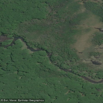
Río Pipo
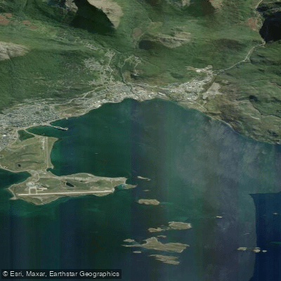
Bahía de Ushuaia
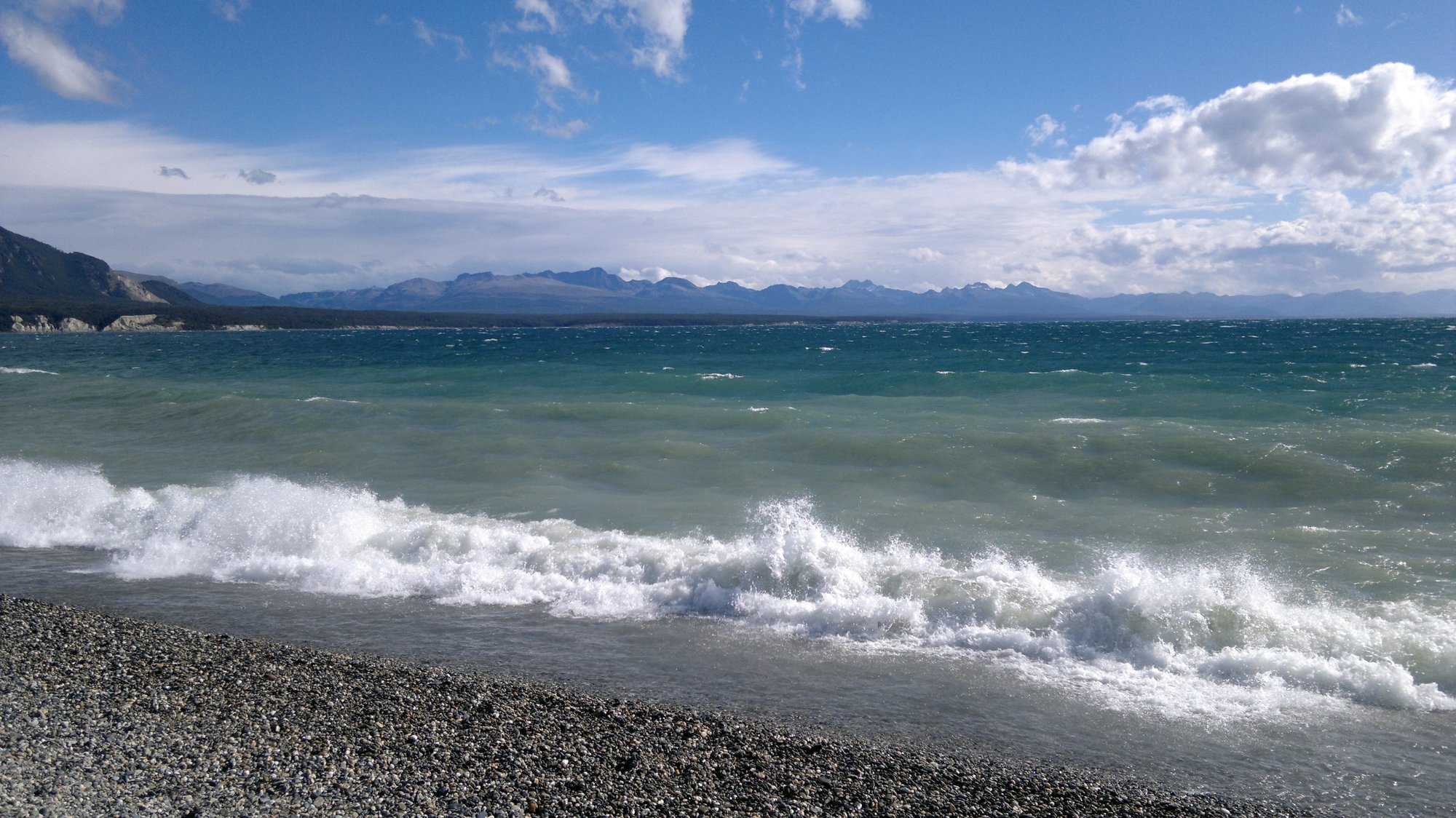
Lago Fagnano
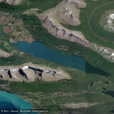
Lago Errázuriz / Lago Roca
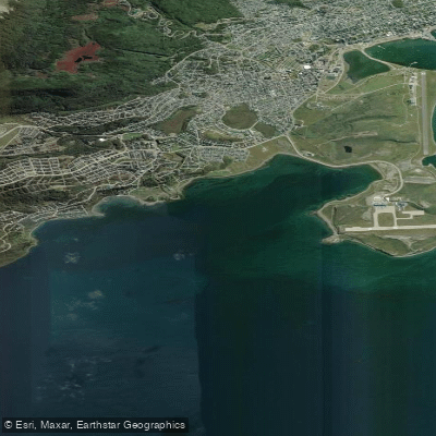
Bahía Golondrina
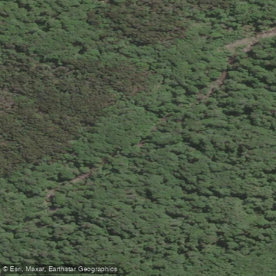
Río Encajonado
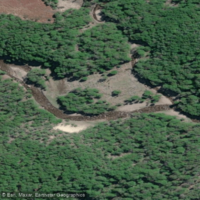
Río Varela
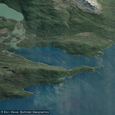
Bahía Lapataia
Río de las Turbas o Menéndez
Explore Tierra Del Fuego waters
Top paddling waters
No waters available right now.
Popular Cities
Loading popular cities...
Explore near Río Lasifashaj

Smarter Paddling Starts in the App.
Paddleways gives you everything you need to plan smarter, paddle better, and own every trip from first launch to takeout.