Boolambayte Creek
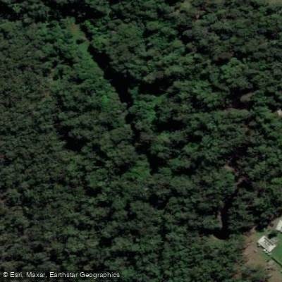
Boolambayte Creek
- Boat Ramps
- 0
- Access Points
- 0
- Campsites
- 0
Boolambayte Creek flows into Boolambayte Lake, which is part of the broader Myall Lakes system in Myall Lakes National Park, New South Wales. The creek connects to a network of interconnected lakes running north to south — Myall Lake, Boolambayte Lake, and The Broadwater — making it a natural extension of multi-day paddling routes through the park.
The creek is characterized by deep but snaggy water, with overhanging trees lining the banks. The surrounding vegetation is dominated by paperbarks (melaleuca), reeds, and wetland flora. The entrance to the creek from Boolambayte Lake is described as almost invisible, so paddlers should navigate carefully when locating it. Once inside, the water is sheltered and calm, providing a marked contrast to the exposed open lakes. Wind can be a significant factor on the broader lake system, with gusts of 15–20 knots not uncommon, making the creek a useful refuge during unsettled conditions. Paddlers are advised to monitor weather forecasts carefully, as the lakes represent a large expanse of open water.
Wildlife along the creek includes diamond pythons in the melaleuca trees, kingfishers close to the water's surface, and a variety of birdlife including noisy miners and wading birds. The combination of paperbarks, reflective water, and birdlife gives the creek a distinctly wild, bush character.
A campsite of considerable size is located along the creek, suitable for large groups, and the area is within Myall Lakes National Park. The creek is recommended as a side trip when exploring the Myall Lakes system, often paddled as a day excursion from a base camp on the lake. Australian Geographic lists it among notable paddling destinations, suggesting it as a destination to explore after time on the main lakes. The broader Myall Lakes area is considered accessible year-round due to the warm climate, though cold water temperatures and strong westerly winds during winter deter many visitors, making summer and shoulder seasons the more popular paddling periods.
Water access, boat ramps & amenities
Learn how to get on Boolambayte Creek. Uncover great paddling access points, boat ramps, and all the facilities you need for an unforgettable day on the water. Some locations shown may border or include private property. Always check property boundaries and applicable regulations before visiting. PaddleWays's Public & Private Land layer can help you plan your access with confidence.
Paddle smarter with real-time insights
Whether you're en route and conditions shift or you're looking for the best spot based on current flows, we enable you to make informed decisions on the fly.








Find Places to Paddle

Over 400,000 Places to Paddle
Every user gets free access to launch points, boat ramps, and public property parcels.


Water and weather conditions (10 day forecast)
See the best times to paddle Boolambayte Creek and check the forecast before you go.
No forecast data available.
Paddling near Boolambayte Creek
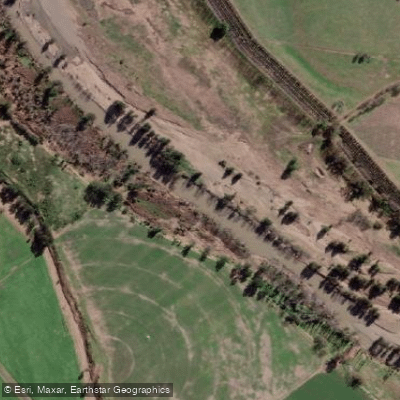
Hunter River
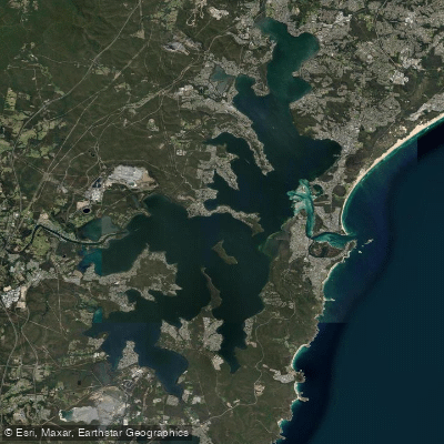
Lake Macquarie
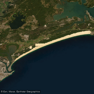
Stockton Beach
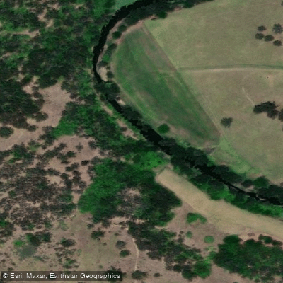
Paterson River
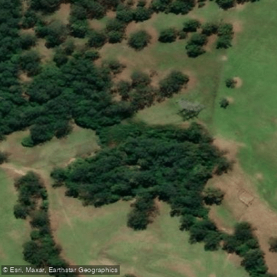
Dora Creek
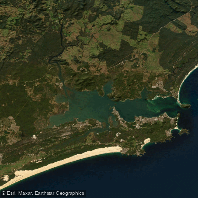
Port Stephens
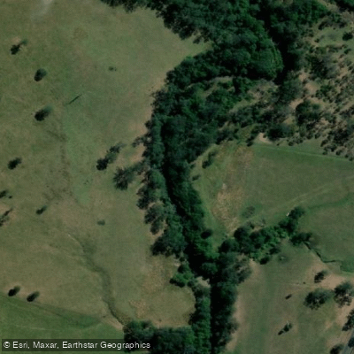
Karuah River
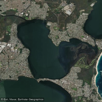
Budgewoi Lake
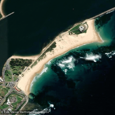
Nobbys Beach
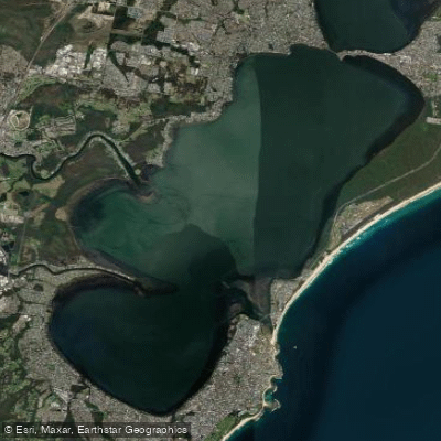
Tuggerah
Explore New South Wales waters
Top paddling waters
No waters available right now.
Popular Cities
Loading popular cities...
Explore near Boolambayte Creek

Smarter Paddling Starts in the App.
Paddleways gives you everything you need to plan smarter, paddle better, and own every trip from first launch to takeout.