Brisbane Water
- Saltwater
- Estuary
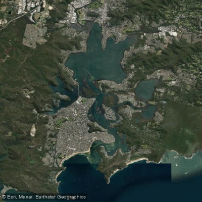
Brisbane Water
- Saltwater
- Estuary
- Sq. miles
- 15
- Boat Ramps
- 3
- Access Points
- 0
- Campsites
- 0
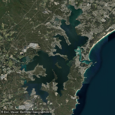
Brisbane Water is a sprawling estuary on the Central Coast of New South Wales, receiving significant attention for its superb natural beauty and suitability for paddling. It is a saltwater feature characterized by calm, shallow waters in many areas, making it particularly suitable for beginners and stand-up paddleboarding. The estuary stretches beyond Gosford, extending its fingers around the mangroves of Woy Woy and the shallows of Davistown. A notable access point is the Erina Creek Boat Ramp, located off the Central Coast Highway near the bridge over Erina Creek, which features a concrete ramp providing direct access to the creek and Brisbane Water. Other launch points include private jetties at waterfront properties in areas like Saratoga and Phegans Bay, and the foreshore at Ettalong Beach, which overlooks the estuary and offers mostly calm conditions. The water body is a hub for various activities including sailing, wakeboarding, and sightseeing, meaning paddlers should anticipate sharing the water with other boat traffic, particularly around marinas and moorings. Key sights from the water include views of Bouddi National Park, Lion Island, the Palm Beach Lighthouse, and the mangroves. The Pelican Island Nature Reserve is a specific feature that paddlers can skirt around, and routes can take you under structures like the Brisbane Water Drive Bridge. The Central Coast Council monitors water quality in Brisbane Water to ensure it can be enjoyed year-round, and local environmental initiatives like the Love Our Waterways project are active in the area. For those seeking guided experiences, free kayak tours and environmental education paddles are occasionally offered.
Water access, boat ramps & amenities
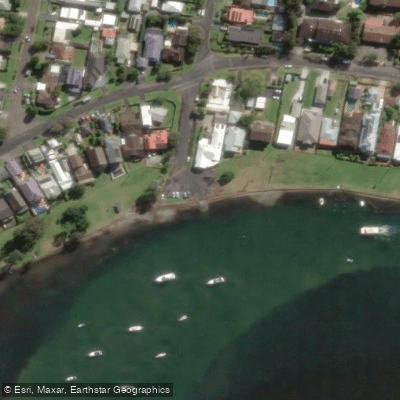
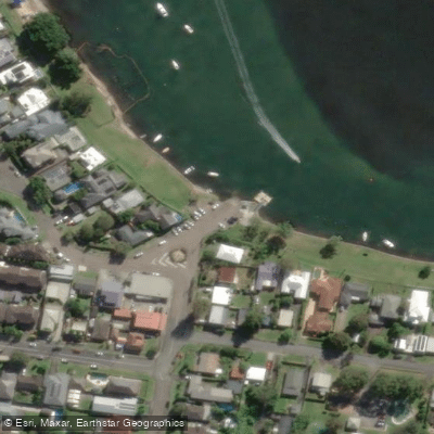
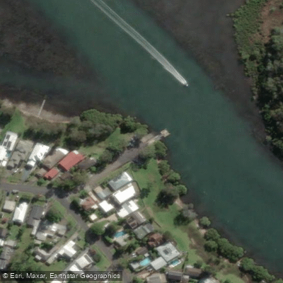
Learn how to get on Brisbane Water. Uncover great paddling access points, boat ramps, and all the facilities you need for an unforgettable day on the water. Some locations shown may border or include private property. Always check property boundaries and applicable regulations before visiting. PaddleWays's Public & Private Land layer can help you plan your access with confidence.
Paddle smarter with real-time insights
Whether you're en route and conditions shift or you're looking for the best spot based on current flows, we enable you to make informed decisions on the fly.








Find Places to Paddle

Over 400,000 Places to Paddle
Every user gets free access to launch points, boat ramps, and public property parcels.


Tides, wind & water conditions (10 day forecast)
On open water, wind and tide matter as much as the weather. See the best times to paddle Brisbane Water and check the marine forecast before you launch.
Loading tide predictions…
Paddling near Brisbane Water
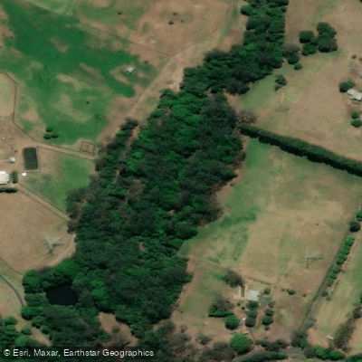
Wyong River
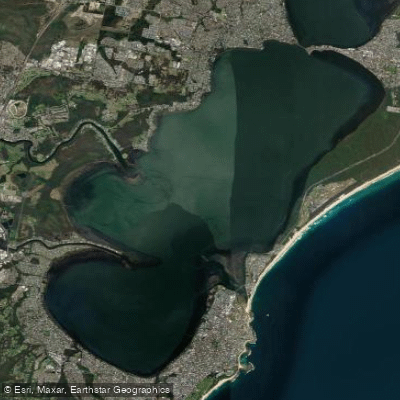
Tuggerah
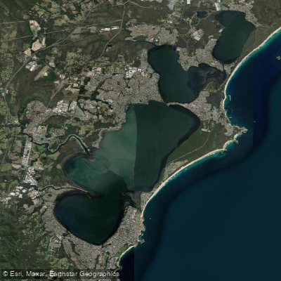
Tuggerah Lakes
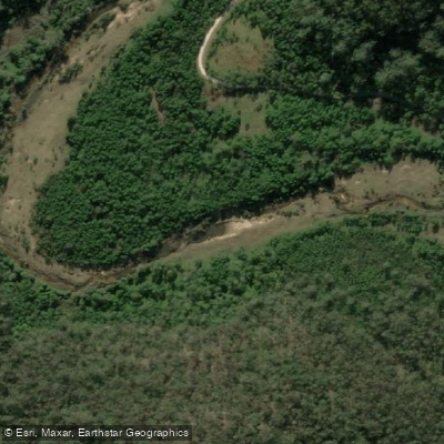
Mangrove Creek
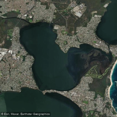
Budgewoi Lake
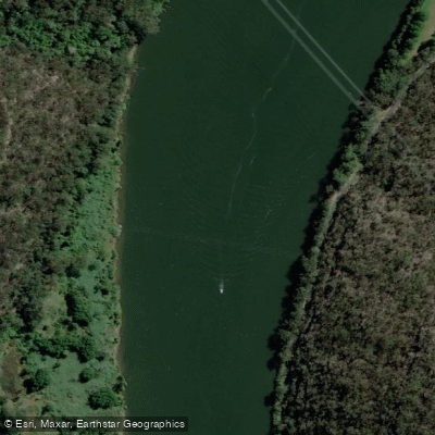
Hawkesbury River
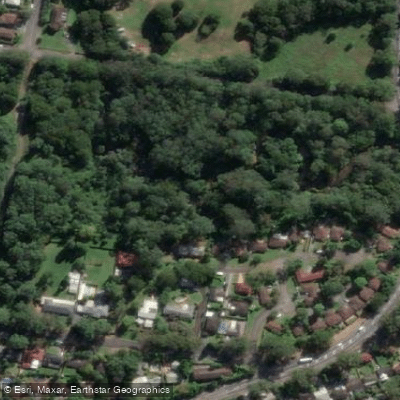
Narara Creek
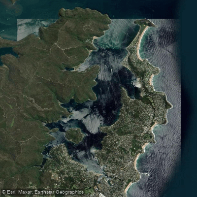
Pittwater
Lake Macquarie
Explore New South Wales waters
Top paddling waters
No waters available right now.
Popular Cities
Loading popular cities...
Explore near Brisbane Water

Smarter Paddling Starts in the App.
Paddleways gives you everything you need to plan smarter, paddle better, and own every trip from first launch to takeout.